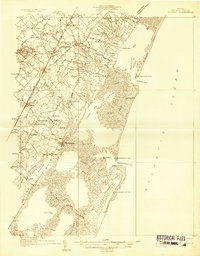
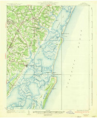
1931 Map of Accomac
USGS Topo · Published 1931About this map
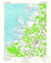
Onancock and Wachapreague anchor this 1931 survey of Virginia's Eastern Shore, illustrating a landscape defined by its dual relationship with the mainland and the sea. The Pennsylvania Railroad runs the length of the peninsula, connecting agricultural hubs like Tasley, Onley, and Melfa to northern markets. In contrast, the eastern coastline is a complex of marshes and barrier islands, including Metomkin Island and Parramore Island, where the maritime economy is marked by several Coast Guard stations and social hubs like the Snead Beach Club. Local life on the neck is captured through numerous small rural landmarks such as the Keller Fairgrounds, Oak Grove Chapel, and the Flagstool Store. This era shows the peninsula just as aerial photography began to refine topographic mapping, preserving the locations of early 20th-century schools like Keller Sch and Horne Sch before the modernization of the local road network.
Find a feature on this map
80 named features on this map. Tap any name to fly to it.
Don’t see what you’re looking for? This feature index may not catch every label — zoom into the map to look around manually.
Map Details
Editions of this 1931 Accomac Map
4 editions found
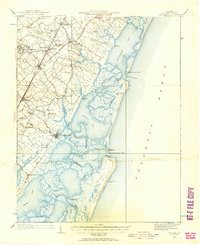
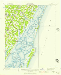
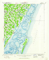
Other maps of this area

1903 · Crisfield
USGS Topo · 1:62,500

1920 · Crisfield
USGS Topo · 1:62,500
1935 · Accomac
USGS Topo · 1:62,500

1941 · Broadwater
USGS Topo · 1:62,500
1942 · Chesconessex
USGS Topo · 1:31,680
1942 · Mappsville
USGS Topo · 1:24,000

1942 · Little Machipongo Inlet
USGS Topo · 1:24,000
1942 · Nassawadox
USGS Topo · 1:24,000
1942 · Wallops Island
USGS Topo · 1:24,000
1942 · Parksley
USGS Topo · 1:24,000