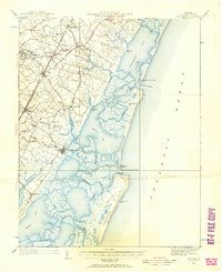
1931 Map of Accomac
USGS Topo · Published 1957About this map
The Pennsylvania Railroad corridor forms the spine of this early 1930s coastal survey, linking agricultural villages like Tasley, Onley, and Melfa across the Eastern Shore. The map illustrates a landscape of deeply indented necks and tidal creeks, where the mainland transition into the Atlantic via an intricate system of bays and marshes. Prominent social and community hubs are documented, including the Fairgrounds near Onancock and the Keller Fairgrounds further south, reflecting the era's local gathering patterns.
Find a feature on this map
77 named features on this map. Tap any name to fly to it.
Don’t see what you’re looking for? This feature index may not catch every label — zoom into the map to look around manually.
Map Details
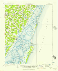
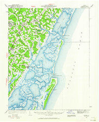
Editions of this 1931 Accomac Map
4 editions found
Other maps of this area

1903 · Crisfield
USGS Topo · 1:62,500

1920 · Crisfield
USGS Topo · 1:62,500

1931 · Accomac
USGS Topo · 1:48,000

1935 · Accomac
USGS Topo · 1:62,500

1941 · Broadwater
USGS Topo · 1:62,500

1942 · Chesconessex
USGS Topo · 1:31,680

1942 · Mappsville
USGS Topo · 1:24,000

1942 · Little Machipongo Inlet
USGS Topo · 1:24,000

1942 · Nassawadox
USGS Topo · 1:24,000

1942 · Wallops Island
USGS Topo · 1:24,000