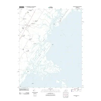
1942 Map of Nassawadox
USGS Topo · Published 1962About this map
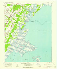
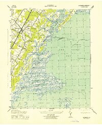
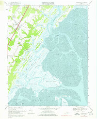
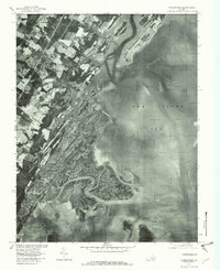
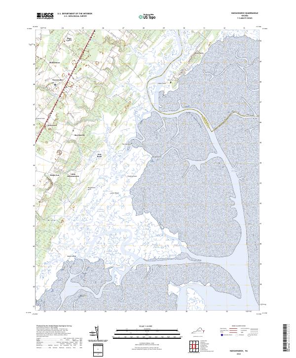
Coastal Virginia's intricate salt marshes and agricultural lands dominate this 1942 survey of the Eastern Shore. The Pennsylvania railroad corridor serves as the primary spine for human activity, connecting the central settlements of Nassawadox, Weirwood, and Middletown. To the east, the landscape dissolves into the tidal environment of Hog Island Bay, where extensive wetlands like Crabbing Marsh and Short Prong Marsh provide a glimpse into the historic maritime economy of Northampton County.
Find a feature on this map
44 named features on this map. Tap any name to fly to it.
Don’t see what you’re looking for? This feature index may not catch every label — zoom into the map to look around manually.
Map Details
Editions of this 1942 Nassawadox Map
This is the sole edition of this map. No revisions or reprints were ever made.
Historical Maps of Nassawadox Through Time
9 maps found
1942 Nassawadox
Northampton County, VA
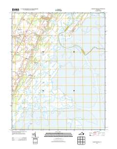
1943 Nassawadox
Northampton County, VA
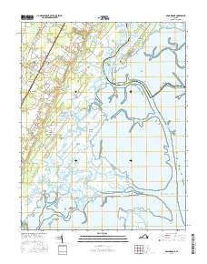
1968 Nassawadox
Northampton County, VA
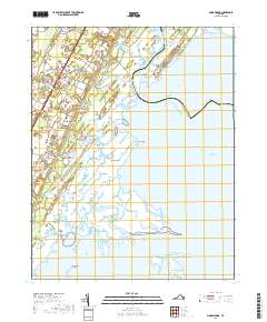
1977 Nassawadox
Northampton County, VA
2011 Nassawadox
Northampton County, VA
2013 Nassawadox
Northampton County, VA
2016 Nassawadox
Northampton County, VA
2019 Nassawadox
Northampton County, VA
2022 Nassawadox
Northampton County, VA