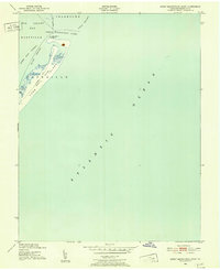
1942 Map of Great Machipongo Inlet
USGS Topo · Published 1952About this map
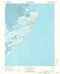
Cobb Island sits as a narrow barrier between the marshes of Northampton County and the open Atlantic Ocean in this coastal survey. Compiled in part from 1942 aerial photography, the map documents the precarious geography of Virginia’s Eastern Shore during the early 1940s. A specialized infrastructure of maritime communication and safety is evident, including a Submerged Cable and a Telephone Line that cross the shifting dunes and tidal waters.
Find a feature on this map
14 named features on this map. Tap any name to fly to it.
Don’t see what you’re looking for? This feature index may not catch every label — zoom into the map to look around manually.
Map Details
Editions of this 1942 Great Machipongo Inlet Map
This is the sole edition of this map. No revisions or reprints were ever made.
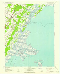
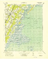
Other maps of this area

1941 · Broadwater
USGS Topo · 1:62,500

1942 · Cobb Island
USGS Topo · 1:24,000

1942 · Little Machipongo Inlet
USGS Topo · 1:24,000
1942 · Nassawadox
USGS Topo · 1:24,000
1943 · Nassawadox
USGS Topo · 1:31,680

1946 · Eastville
USGS Topo · 1:250,000
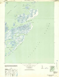
1953 · Ship Shoal Inlet
USGS Topo · 1:24,000

1961 · Eastville
USGS Topo · 1:250,000

1966 · Eastville
USGS Topo · 1:250,000
1968 · Ship Shoal Inlet
USGS Topo · 1:24,000