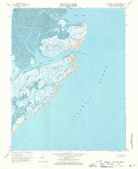
1968 Map of Ship Shoal Inlet
USGS Topo · Published 1971About this map
Ship Shoal Island and its neighboring barrier landmasses define this coastal stretch of Northampton County, illustrating the dynamic relationship between the Atlantic Ocean and the intricate lagoon systems of Virginia's Eastern Shore. This 1968 field-checked survey reveals a landscape dominated by expansive marsh and tidal flats, where navigable waterways like the Main Ship Channel and Ship Shoal Channel provide passage through the shifting shoals. Geographers and historians can trace the intricate network of tidal drains and creeks, such as Red Drum Drain and Mink Creek, which carve through Godwin Island and Mink Island. The presence of established beaches like Myrtle Island Beach and Smith Island Beach highlights the exposed seaward faces of these islands, while interior features like Mud Hole and Mud Hole Inlet demonstrate the complex hydrology of the back-bay environment.
Find a feature on this map
36 named features on this map. Tap any name to fly to it.
Don’t see what you’re looking for? This feature index may not catch every label — zoom into the map to look around manually.
Map Details
Editions of this 1968 Ship Shoal Inlet Map
Other maps of this area

1941 · Broadwater
USGS Topo · 1:62,500

1942 · Cheriton
USGS Topo · 1:24,000

1942 · Cobb Island
USGS Topo · 1:24,000

1942 · Great Machipongo Inlet
USGS Topo · 1:24,000

1943 · Townsend
USGS Topo · 1:24,000

1946 · Eastville
USGS Topo · 1:250,000
1953 · Ship Shoal Inlet
USGS Topo · 1:24,000
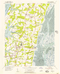
1955 · Cheriton
USGS Topo · 1:24,000
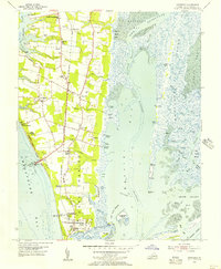
1955 · Townsend
USGS Topo · 1:24,000

1961 · Eastville
USGS Topo · 1:250,000