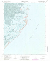
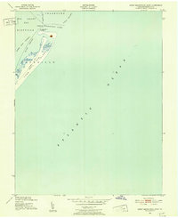
1968 Map of Ship Shoal Inlet
USGS Topo · Published 1985About this map
Smith Island and a string of barrier islands define this coastal landscape along the Eastern Shore, as documented in a 1968 survey with later revisions. The map reveals an intricate network of tidal flats and waterways including South Bay and Mink Island Bay, where currents have carved out named passages like White Perch Channel and Ship Shoal Channel.
Find a feature on this map
35 named features on this map. Tap any name to fly to it.
Don’t see what you’re looking for? This feature index may not catch every label — zoom into the map to look around manually.
Map Details
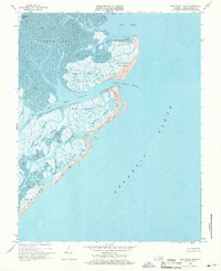
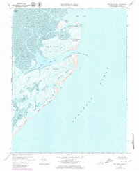
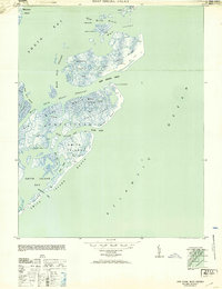
Editions of this 1968 Ship Shoal Inlet Map
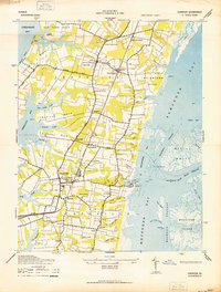
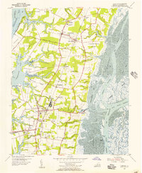
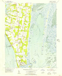
Other maps of this area

1941 · Broadwater
USGS Topo · 1:62,500
1942 · Cheriton
USGS Topo · 1:24,000

1942 · Cobb Island
USGS Topo · 1:24,000
1942 · Great Machipongo Inlet
USGS Topo · 1:24,000

1943 · Townsend
USGS Topo · 1:24,000

1946 · Eastville
USGS Topo · 1:250,000
1953 · Ship Shoal Inlet
USGS Topo · 1:24,000
1955 · Cheriton
USGS Topo · 1:24,000
1955 · Townsend
USGS Topo · 1:24,000

1961 · Eastville
USGS Topo · 1:250,000