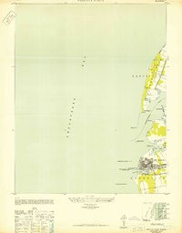
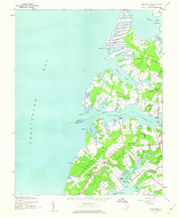
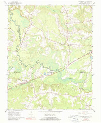
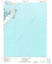
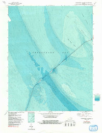
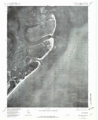
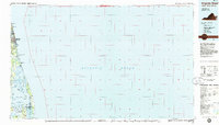
1948 Map of Wescott Point
USGS Topo · Published 1948About this map
Cape Charles stands as the primary maritime and rail hub along the southern Delmarva Peninsula in this late-1940s survey. The map reveals the intricate harbor infrastructure, including the Cape Charles Harbor, multiple Radio Masts, and the Transmission Tower that supported the town's industrial and naval importance. Navigational aids like the Cherrystone Bar Light and N Jetty Lt mark the approach from the Chesapeake Bay.
Find a feature on this map
32 named features on this map. Tap any name to fly to it.
Don’t see what you’re looking for? This feature index may not catch every label — zoom into the map to look around manually.
Map Details
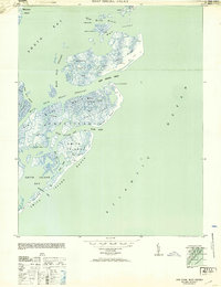
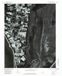
Editions of this 1948 Wescott Point Map
2 editions found
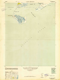
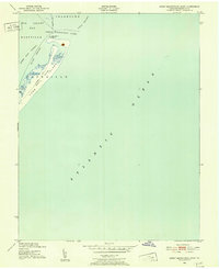
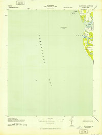
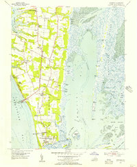
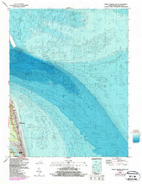
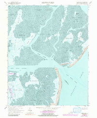
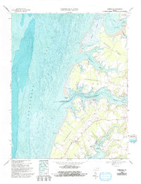
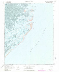
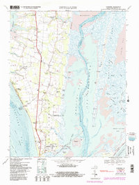
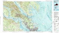
Historical Maps of Cape Charles Through Time
39 maps found

1893 Virginia Beach
Northampton County, VA

1941 Broadwater
Northampton County, VA

1942 Cobb Island
Northampton County, VA
1942 Great Machipongo Inlet
Northampton County, VA
1943 Elliotts Creek
Northampton County, VA
1943 Jamesville
Northampton County, VA

1943 Townsend
Northampton County, VA
1948 Wescott Point
Northampton County, VA
1953 Ship Shoal Inlet
Northampton County, VA

1955 Elliotts Creek
Northampton County, VA
1955 Townsend
Northampton County, VA
1964 North Virginia Beach
Northampton County, VA
1966 Margarettsville
Northampton County, VA
1968 Cobb Island
Northampton County, VA
1968 Elliotts Creek
Northampton County, VA
1968 Fishermans Island
Northampton County, VA
1968 Great Machipongo Inlet
Northampton County, VA
1968 Jamesville
Northampton County, VA
1968 Ship Shoal Inlet
Northampton County, VA
1968 Townsend
Northampton County, VA
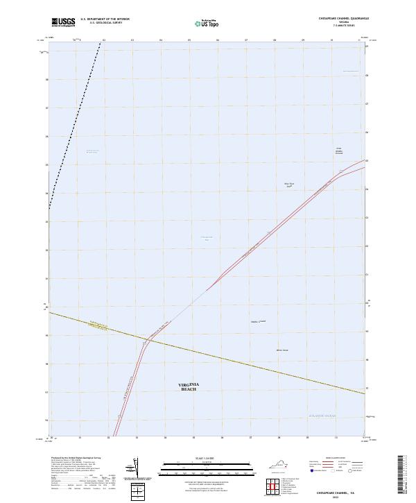
1971 Chesapeake Channel
Northampton County, VA
1977 Cobb Island
Northampton County, VA
1977 Elliotts Creek
Northampton County, VA
1977 Jamesville
Northampton County, VA
1977 Ship Shoal Inlet
Northampton County, VA
1977 Townsend
Northampton County, VA
1978 Great Machipongo Inlet
Northampton County, VA
1984 Williamsburg
Northampton County, VA
1985 Virginia Beach
Northampton County, VA
1990 Virginia Beach
Northampton County, VA
2022 Chesapeake Channel
Northampton County, VA
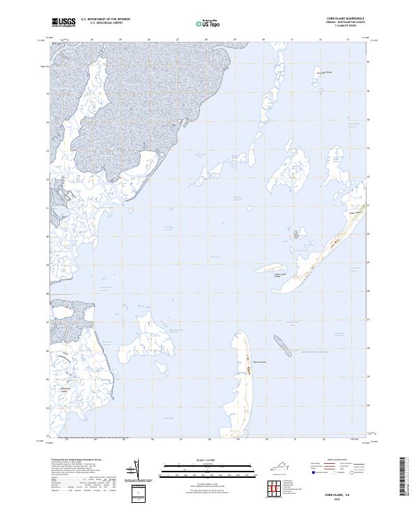
2022 Cobb Island
Northampton County, VA
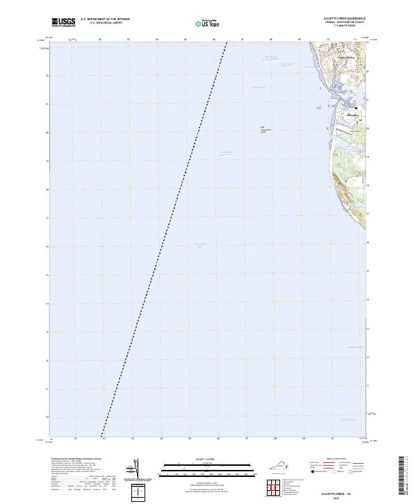
2022 Elliotts Creek
Northampton County, VA
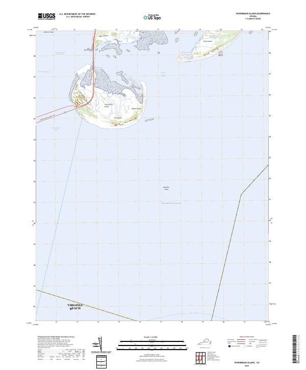
2022 Fishermans Island
Northampton County, VA
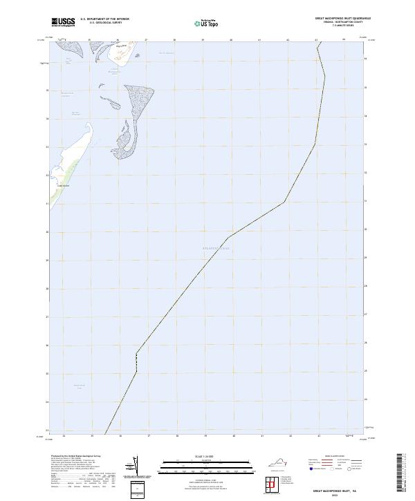
2022 Great Machipongo Inlet
Northampton County, VA
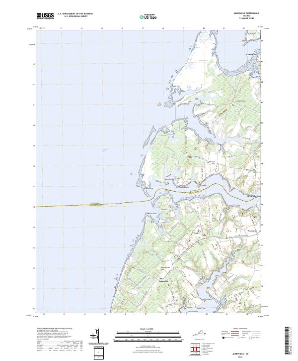
2022 Jamesville
Northampton County, VA
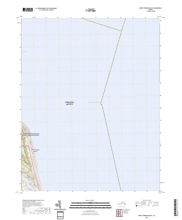
2022 North Virginia Beach
Northampton County, VA
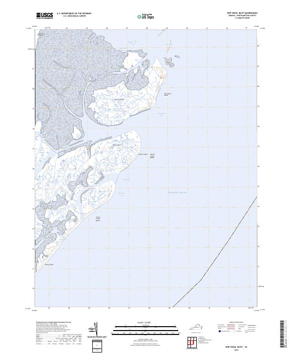
2022 Ship Shoal Inlet
Northampton County, VA
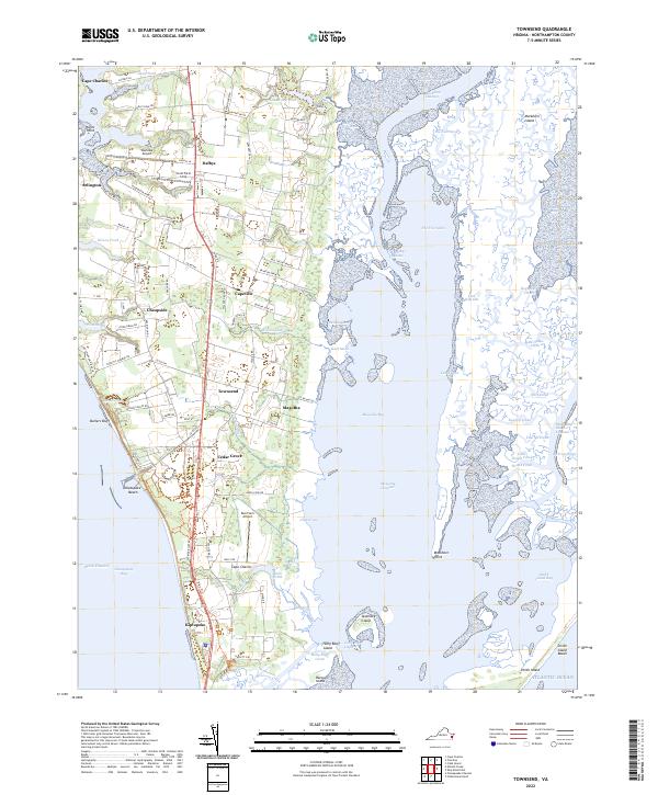
2022 Townsend
Northampton County, VA