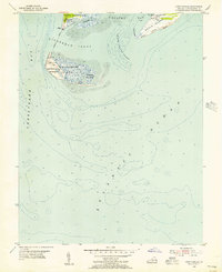
1943 Map of Elliots Creek
USGS Topo · Published 1943About this map
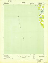
Old Plantation Flats Lighthouse stands as a sentinel in the Chesapeake Bay, marking the maritime approach to the southern tip of the Eastern Shore during the early 1940s. This survey, compiled from air photographs and field edits by the U. S. Coast and Geodetic Survey, details a landscape defined by its relationship with the water. The coastline of Cape Ville is deeply indented by tidal features such as Old Plantation Cr and Elliots Creek, which navigate through a low-lying terrain of ponds and marshes.
Find a feature on this map
13 named features on this map. Tap any name to fly to it.
Don’t see what you’re looking for? This feature index may not catch every label — zoom into the map to look around manually.
Map Details
Editions of this 1943 Elliots Creek Map
2 editions found
Other maps of this area
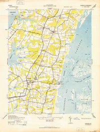
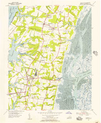
1942 · Cheriton
USGS Topo · 1:24,000

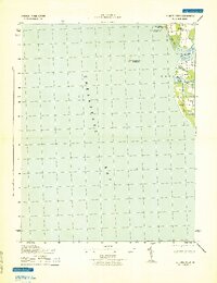
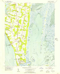
1943 · Townsend
USGS Topo · 1:24,000

1943 · Richmond
USGS Topo · 1:250,000

1946 · Eastville
USGS Topo · 1:250,000
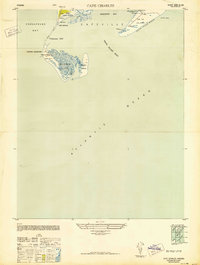
1948 · Cape Charles
USGS Topo · 1:24,000

1949 · Richmond
USGS Topo · 1:250,000

1955 · Elliotts Creek
USGS Topo · 1:24,000
1955 · Cape Charles
USGS Topo · 1:24,000
1955 · Cheriton
USGS Topo · 1:24,000
1955 · Townsend
USGS Topo · 1:24,000