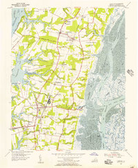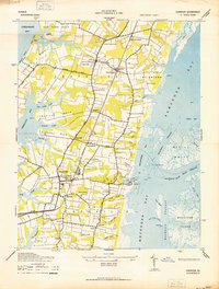
1942 Map of Cheriton
USGS Topo · Published 1942About this map
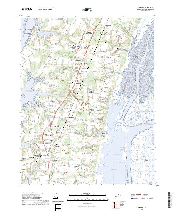
The coastal geometry of the Virginia Eastern Shore is defined here by narrow peninsulas and expansive salt marshes, including Savage Neck and Eyrehall Neck. At the heart of the peninsula, the Pennsylvania railroad corridor anchors a series of agricultural and transport hubs such as Cheriton, Eastville, and Eastville Station. These settlements reflect the region's historical dependence on both rail and sea, with the village of Oyster serving as a prominent gateway to the intricate tidal waters of Mockhorn Bay and Ramshorn Bay. The landscape is etched with old family-named landmarks and small crossroads communities like James Crossroads and Pat Town. Coastal features like Wilkins Beach and the Windmill Tower near the Gulf further illustrate the maritime character of Northampton County during this era. This 1942 survey, reprinted from a military edition, captures the intricate network of tidal channels like Ramshorn Channel that separate the mainland from the uninhabited reaches of Mockhorn Island.
Find a feature on this map
57 named features on this map. Tap any name to fly to it.
Don’t see what you’re looking for? This feature index may not catch every label — zoom into the map to look around manually.
Map Details
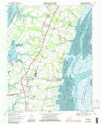
Editions of this 1942 Cheriton Map
This is the sole edition of this map. No revisions or reprints were ever made.
Historical Maps of Cape Charles Through Time
6 maps found