
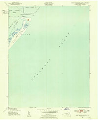
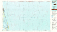
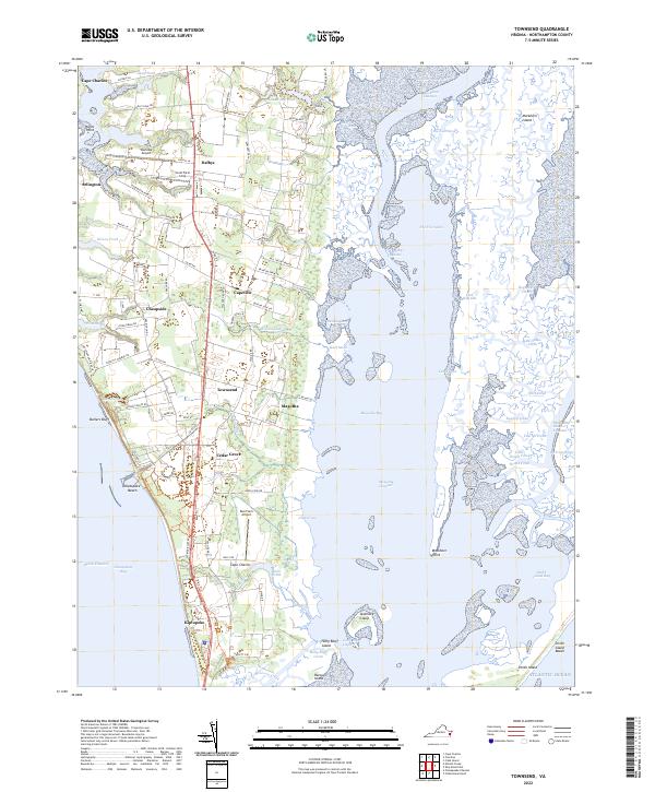
1943 Map of Townsend
USGS Topo · Published 1943About this map
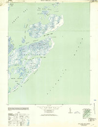
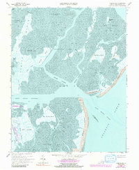
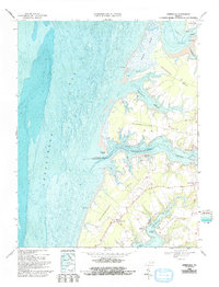
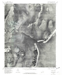
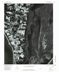
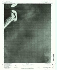
Townsend and the southern tip of Northampton County appear in detail during the early 1940s, a period marked by military presence and traditional coastal life. The Pennsylvania railroad line serves as the backbone of the peninsula, connecting agricultural hubs like Capeville and Dalbys to the wider region. Along the western shore, maritime activity is centered at Arlington Whf and Hunts Wharf on Old Plantation Creek, while the eastern side of the quadrangle is dominated by the intricate marshlands of Mockhorn Island and Magothy Bay.
Find a feature on this map
59 named features on this map. Tap any name to fly to it.
Don’t see what you’re looking for? This feature index may not catch every label — zoom into the map to look around manually.
Map Details
Editions of this 1943 Townsend Map
This is the sole edition of this map. No revisions or reprints were ever made.
Historical Maps of Cape Charles Through Time
39 maps found

1893 Virginia Beach
Northampton County, VA

1941 Broadwater
Northampton County, VA

1942 Cobb Island
Northampton County, VA
1942 Great Machipongo Inlet
Northampton County, VA
1943 Elliotts Creek
Northampton County, VA
1943 Jamesville
Northampton County, VA
1943 Townsend
Northampton County, VA
1948 Wescott Point
Northampton County, VA
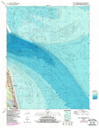
1953 Ship Shoal Inlet
Northampton County, VA

1955 Elliotts Creek
Northampton County, VA
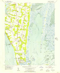
1955 Townsend
Northampton County, VA
1964 North Virginia Beach
Northampton County, VA
1966 Margarettsville
Northampton County, VA
1968 Cobb Island
Northampton County, VA
1968 Elliotts Creek
Northampton County, VA
1968 Fishermans Island
Northampton County, VA
1968 Great Machipongo Inlet
Northampton County, VA
1968 Jamesville
Northampton County, VA
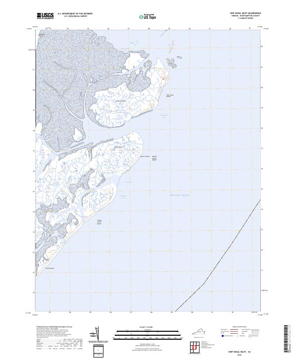
1968 Ship Shoal Inlet
Northampton County, VA
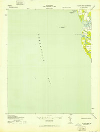
1968 Townsend
Northampton County, VA
1971 Chesapeake Channel
Northampton County, VA
1977 Cobb Island
Northampton County, VA
1977 Elliotts Creek
Northampton County, VA
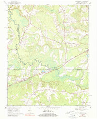
1977 Jamesville
Northampton County, VA
1977 Ship Shoal Inlet
Northampton County, VA
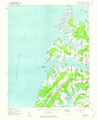
1977 Townsend
Northampton County, VA
1978 Great Machipongo Inlet
Northampton County, VA
1984 Williamsburg
Northampton County, VA
1985 Virginia Beach
Northampton County, VA
1990 Virginia Beach
Northampton County, VA
2022 Chesapeake Channel
Northampton County, VA
2022 Cobb Island
Northampton County, VA
2022 Elliotts Creek
Northampton County, VA
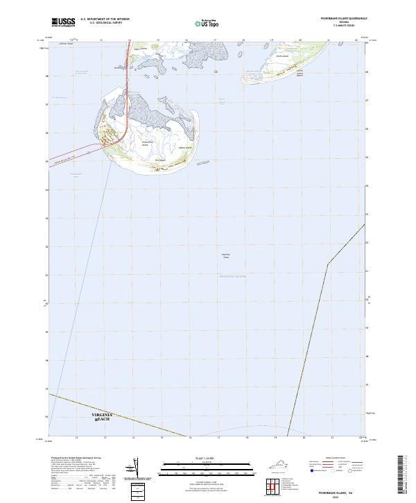
2022 Fishermans Island
Northampton County, VA
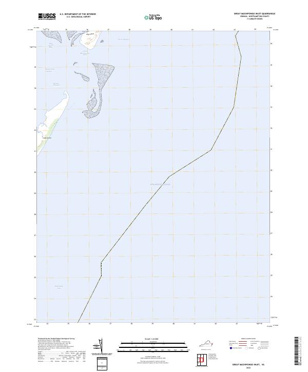
2022 Great Machipongo Inlet
Northampton County, VA
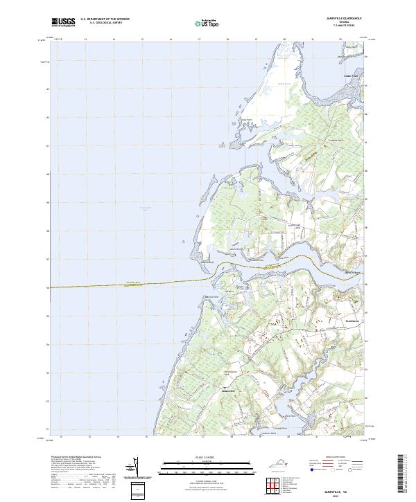
2022 Jamesville
Northampton County, VA
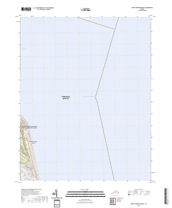
2022 North Virginia Beach
Northampton County, VA
2022 Ship Shoal Inlet
Northampton County, VA
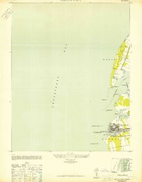
2022 Townsend
Northampton County, VA