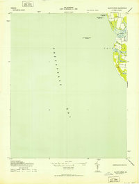
1943 Map of Elliotts Creek
USGS Topo · Published 1943About this map
Old Plantation Flats Lighthouse stands as a lonely sentinel amidst the vast expanse of the Chesapeake Bay, marking a critical navigation point for maritime traffic in the early 1940s. This survey of the Virginia coastline in Northampton County reveals a landscape defined by its intimate connection to the water, where the terrestrial edge is fragmented by tidal inlets and marshy basins. The mapping shows established navigational aids like the Cape Charles City Rear Light and Cape Charles City Front Light, which guided vessels safely toward harbor.
Find a feature on this map
12 named features on this map. Tap any name to fly to it.
Don’t see what you’re looking for? This feature index may not catch every label — zoom into the map to look around manually.
Map Details
Editions of this 1943 Elliotts Creek Map
2 editions found
Other maps of this area

1942 · Cheriton
USGS Topo · 1:24,000

1943 · Elliots Creek
USGS Topo · 1:25,000

1943 · Townsend
USGS Topo · 1:24,000

1943 · Richmond
USGS Topo · 1:250,000

1946 · Eastville
USGS Topo · 1:250,000

1948 · Cape Charles
USGS Topo · 1:24,000

1949 · Richmond
USGS Topo · 1:250,000
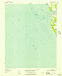
1955 · Elliotts Creek
USGS Topo · 1:24,000
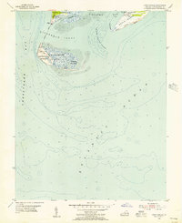
1955 · Cape Charles
USGS Topo · 1:24,000
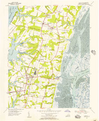
1955 · Cheriton
USGS Topo · 1:24,000