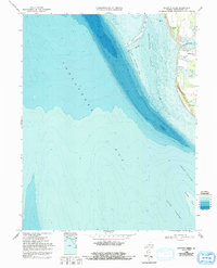
1968 Map of Elliotts Creek
USGS Topo · Published 1992About this map
Arlington and its surrounding coastal landscape define this portion of the Virginia Eastern Shore during the late 1960s. The map highlights the significant historical landmark of the Tomb of Custis, situated near the shoreline between Old Plantation Ck and Costin Pond. This area is characterized by a complex network of coastal ponds and creeks, including Elliotts Creek, Dixons Pond, and Allegood Pond, which provide a detailed view of the shoreline's hydrology before later development.
Find a feature on this map
18 named features on this map. Tap any name to fly to it.
Don’t see what you’re looking for? This feature index may not catch every label — zoom into the map to look around manually.
Map Details
Editions of this 1968 Elliotts Creek Map
4 editions found
Other maps of this area

1942 · Cheriton
USGS Topo · 1:24,000

1943 · Elliots Creek
USGS Topo · 1:25,000

1943 · Townsend
USGS Topo · 1:24,000

1943 · Richmond
USGS Topo · 1:250,000

1946 · Eastville
USGS Topo · 1:250,000

1948 · Cape Charles
USGS Topo · 1:24,000

1949 · Richmond
USGS Topo · 1:250,000
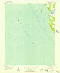
1955 · Elliotts Creek
USGS Topo · 1:24,000
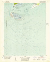
1955 · Cape Charles
USGS Topo · 1:24,000
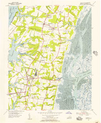
1955 · Cheriton
USGS Topo · 1:24,000