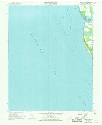
1968 Map of Elliotts Creek
USGS Topo · Published 1971About this map
The Tomb of Custis stands as a significant historical anchor on this coastal survey of the Eastern Shore's bay side in Northampton County. Located near the settlement of Arlington, this landmark overlooks the intricate transition from land to water where Old Plantation Creek meets the Cherrystone Inlet. The geography is defined by its shallow coastal features, including the expansive Old Plantation Flats and several freshwater features like Allegood Pond and Costin Pond that sit just inland from the tidal marshes. This late 1960s data illustrates the delicate relationship between the Virginia peninsula and the Chesapeake Bay, documenting a maritime landscape of shifting sands and stable shorelines. Further offshore, navigation hazards such as the Latimer Shoal and the North Channel are carefully charted, revealing the underwater topography that directed the flow of bay traffic near the mouth of the Beach Channel.
Find a feature on this map
17 named features on this map. Tap any name to fly to it.
Don’t see what you’re looking for? This feature index may not catch every label — zoom into the map to look around manually.
Map Details
Editions of this 1968 Elliotts Creek Map
4 editions found
Other maps of this area

1942 · Cheriton
USGS Topo · 1:24,000

1943 · Elliots Creek
USGS Topo · 1:25,000

1943 · Townsend
USGS Topo · 1:24,000

1943 · Richmond
USGS Topo · 1:250,000

1946 · Eastville
USGS Topo · 1:250,000

1948 · Cape Charles
USGS Topo · 1:24,000

1949 · Richmond
USGS Topo · 1:250,000
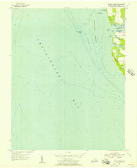
1955 · Elliotts Creek
USGS Topo · 1:24,000
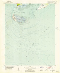
1955 · Cape Charles
USGS Topo · 1:24,000
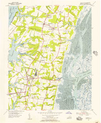
1955 · Cheriton
USGS Topo · 1:24,000