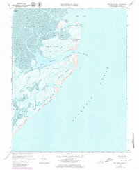
1968 Map of Ship Shoal Inlet
USGS Topo · Published 1980About this map
Ship Shoal Island and a series of dynamic barrier islands define this stretch of the Virginia coastline in Northampton County. The map details a complex amphibious environment where the Atlantic Ocean meets an intricate network of tidal flats and salt marshes. Navigational arteries like the Main Ship Channel, Rock Channel, and Ship Shoal Inlet reveal the vital maritime pathways required to navigate the shallow waters between South Bay and the open sea. This late 1960s perspective, later updated with 1970s aerial photography, captures the shifting sands of Myrtle Island Beach and Smith Island Beach before significant modern environmental changes. These uninhabited islands, including Godwin Island and Mink Island, are etched with small tidal veins such as Mink Creek and Shell Cr, illustrating the fluid nature of the Eastern Shore's protective barrier system.
Find a feature on this map
33 named features on this map. Tap any name to fly to it.
Don’t see what you’re looking for? This feature index may not catch every label — zoom into the map to look around manually.
Map Details
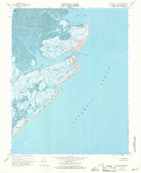
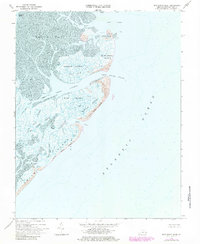
Editions of this 1968 Ship Shoal Inlet Map
Other maps of this area

1941 · Broadwater
USGS Topo · 1:62,500

1942 · Cheriton
USGS Topo · 1:24,000

1942 · Cobb Island
USGS Topo · 1:24,000

1942 · Great Machipongo Inlet
USGS Topo · 1:24,000

1943 · Townsend
USGS Topo · 1:24,000

1946 · Eastville
USGS Topo · 1:250,000
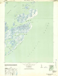
1953 · Ship Shoal Inlet
USGS Topo · 1:24,000
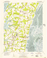
1955 · Cheriton
USGS Topo · 1:24,000
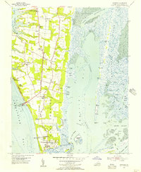
1955 · Townsend
USGS Topo · 1:24,000

1961 · Eastville
USGS Topo · 1:250,000