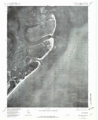
1977 Map of Ship Shoal Inlet
USGS Topo · Published 1982About this map
Smith Island and its shifting barrier coastline dominate this 1977 orthophotograph, produced by the Geological Survey in cooperation with the Soil Conservation Service. The aerial imagery reveals the complex tidal marsh and drainage patterns where South Bay meets the open Atlantic Ocean. The dynamic nature of the Virginia Eastern Shore is evident in the configuration of Ship Shoal Inlet, which separates the island segments and provides a conduit for tidal flow. Because this is an orthophotoquad rather than a traditional line-drawn map, it provides an authentic visual of the vegetation density and coastal erosion as they existed in the late 1970s, making it a valuable tool for environmental historians studying the long-term migration of the Atlantic barrier islands.
Find a feature on this map
4 named features on this map. Tap any name to fly to it.
Don’t see what you’re looking for? This feature index may not catch every label — zoom into the map to look around manually.
Map Details
Editions of this 1977 Ship Shoal Inlet Map
This is the sole edition of this map. No revisions or reprints were ever made.
Other maps of this area

1941 · Broadwater
USGS Topo · 1:62,500

1942 · Cheriton
USGS Topo · 1:24,000

1942 · Cobb Island
USGS Topo · 1:24,000

1942 · Great Machipongo Inlet
USGS Topo · 1:24,000

1943 · Townsend
USGS Topo · 1:24,000

1946 · Eastville
USGS Topo · 1:250,000
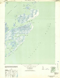
1953 · Ship Shoal Inlet
USGS Topo · 1:24,000
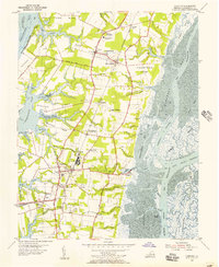
1955 · Cheriton
USGS Topo · 1:24,000
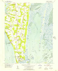
1955 · Townsend
USGS Topo · 1:24,000

1961 · Eastville
USGS Topo · 1:250,000