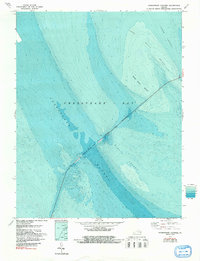
1971 Map of Chesapeake Channel
USGS Topo · Published 1991About this map
The Chesapeake Bay Bridge-Tunnel serves as a massive engineering feat crossing the mouth of the Chesapeake Bay, as depicted in this hydrographic and topographic study. The map provides a detailed look at the complex underwater topography where the Atlantic meets the bay, highlighting the critical Chesapeake Channel and the North Channel. These deep-water paths are flanked by significant shallow hazards, including Inner Middle Ground, Middle Ground, and Nine Foot Shoal.
Find a feature on this map
7 named features on this map. Tap any name to fly to it.
Don’t see what you’re looking for? This feature index may not catch every label — zoom into the map to look around manually.
Map Details
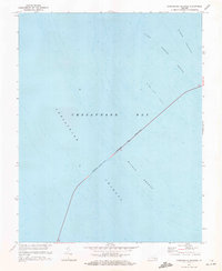
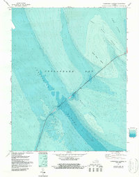
Editions of this 1971 Chesapeake Channel Map
3 editions found
Other maps of this area

1893 · Virginia Beach
USGS Topo · 1:125,000

1907 · Norfolk
USGS Topo · 1:125,000

1918 · Cape Henry
USGS Topo · 1:62,500

1919 · Cape Henry
USGS Topo · 1:62,500

1943 · Elliots Creek
USGS Topo · 1:25,000

1943 · Townsend
USGS Topo · 1:24,000

1943 · Richmond
USGS Topo · 1:250,000

1946 · Eastville
USGS Topo · 1:250,000

1946 · Currituck Sound
USGS Topo · 1:250,000

1948 · Ocean View
USGS Topo · 1:24,000