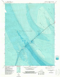
1971 Map of Chesapeake Channel
USGS Topo · Published 1987About this map
The Chesapeake Bay Bridge-Tunnel dominates this 1971 planimetric study, slicing diagonally across the underwater topography of the lower bay. This specialized bathymetric sheet, updated with National Ocean Service data in 1986, details the complex seafloor environment where the Chesapeake Channel and North Channel provide passage through shifting shoals. The transition from bridge to tunnel sections is clearly marked as the structure crosses the deep water of the primary shipping lane. Shallow hazards such as Nine Foot Shoal, Inner Middle Ground, and the broader Middle Ground bank are mapped with precise meter contours. These features illustrate the engineering challenges involved in spanning the Chesapeake Bay, where man-made infrastructure must navigate the natural troughs and rises of the estuary floor.
Find a feature on this map
8 named features on this map. Tap any name to fly to it.
Don’t see what you’re looking for? This feature index may not catch every label — zoom into the map to look around manually.
Map Details
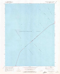
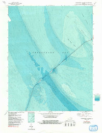
Editions of this 1971 Chesapeake Channel Map
3 editions found
Other maps of this area

1893 · Virginia Beach
USGS Topo · 1:125,000

1907 · Norfolk
USGS Topo · 1:125,000

1918 · Cape Henry
USGS Topo · 1:62,500

1919 · Cape Henry
USGS Topo · 1:62,500

1943 · Elliots Creek
USGS Topo · 1:25,000

1943 · Townsend
USGS Topo · 1:24,000

1943 · Richmond
USGS Topo · 1:250,000

1946 · Eastville
USGS Topo · 1:250,000

1946 · Currituck Sound
USGS Topo · 1:250,000

1948 · Ocean View
USGS Topo · 1:24,000