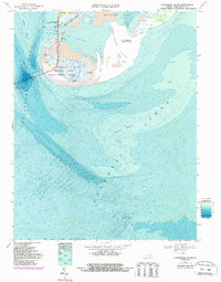
1968 Map of Fishermans Island
USGS Topo · Published 1987About this map
Fishermans Island National Wildlife Refuge anchors this maritime landscape at the southernmost tip of the Delmarva Peninsula. The survey documents the complex bathymetry of the Chesapeake Bay mouth, where the Chesapeake Bay Bridge-Tunnel spans the open water between Wise Point and the barrier islands. Military and navigational infrastructure are prominent, including the Cape Charles Air Force Station and several towers and water tanks on Fishermans Island.
Find a feature on this map
28 named features on this map. Tap any name to fly to it.
Don’t see what you’re looking for? This feature index may not catch every label — zoom into the map to look around manually.
Map Details
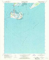
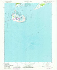
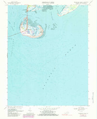
Editions of this 1968 Fishermans Island Map
4 editions found
Other maps of this area

1893 · Virginia Beach
USGS Topo · 1:125,000

1907 · Norfolk
USGS Topo · 1:125,000

1918 · Cape Henry
USGS Topo · 1:62,500

1919 · Cape Henry
USGS Topo · 1:62,500

1943 · Elliots Creek
USGS Topo · 1:25,000

1943 · Townsend
USGS Topo · 1:24,000

1943 · Richmond
USGS Topo · 1:250,000

1946 · Eastville
USGS Topo · 1:250,000

1946 · Currituck Sound
USGS Topo · 1:250,000

1949 · Richmond
USGS Topo · 1:250,000