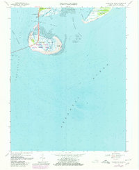
1968 Map of Fishermans Island
USGS Topo · Published 1980About this map
Cape Charles marks the southern tip of the Delmarva Peninsula in this 1968 study, where the Atlantic meets the Chesapeake Bay. The map highlights the strategic and ecological transition at Wise Point, featuring the Cape Charles Air Force Station and the sprawling Fishermans Island National Wildlife Refuge. The engineering of the Chesapeake Bay Bridge-Tunnel (Toll) dominates the western shore, connecting the peninsula southward across the North Channel. Maritime features like Nautilus Shoal and the Inside Passage reveal the complex hydrography of Fishermans Inlet and Magothy Bay. Farther east, the barrier landscape of Smith Island and Adams Island stands against the Atlantic Ocean, showing a coastline defined by tidal flats and shifting inlets like Smith Island Inlet.
Find a feature on this map
23 named features on this map. Tap any name to fly to it.
Don’t see what you’re looking for? This feature index may not catch every label — zoom into the map to look around manually.
Map Details
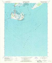
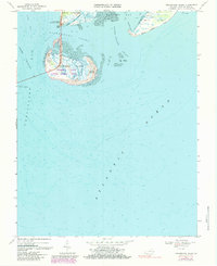
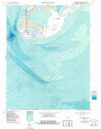
Editions of this 1968 Fishermans Island Map
4 editions found
Other maps of this area

1893 · Virginia Beach
USGS Topo · 1:125,000

1907 · Norfolk
USGS Topo · 1:125,000

1918 · Cape Henry
USGS Topo · 1:62,500

1919 · Cape Henry
USGS Topo · 1:62,500

1943 · Elliots Creek
USGS Topo · 1:25,000

1943 · Townsend
USGS Topo · 1:24,000

1943 · Richmond
USGS Topo · 1:250,000

1946 · Eastville
USGS Topo · 1:250,000

1946 · Currituck Sound
USGS Topo · 1:250,000

1949 · Richmond
USGS Topo · 1:250,000