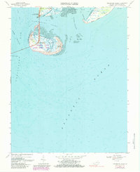
1968 Map of Fishermans Island
USGS Topo · Published 1984About this map
Cape Charles Air Force Station and the surrounding coastal waters of the Delmarva Peninsula anchor this late 1960s survey. The map details the southern terminus of the Virginia shoreline at Wise Point, where land gives way to a complex system of inlets and barrier islands. Central to the sheet is the Fishermans Island National Wildlife Refuge, which encompasses Fishermans Island and the smaller Adams Island. Evidence of coastal settlement is visible at The Isaacs, while the maritime environment is defined by extensive tidal flats and navigational hazards like Nautilus Shoal. Hydrographic data reveals the depth and character of the North Channel and the Inside Passage, essential routes where the Chesapeake Bay meets the Atlantic Ocean. The presence of Smith Island to the east, with its expansive Smith Island Beach, highlights the dynamic nature of this tidewater landscape.
Find a feature on this map
21 named features on this map. Tap any name to fly to it.
Don’t see what you’re looking for? This feature index may not catch every label — zoom into the map to look around manually.
Map Details
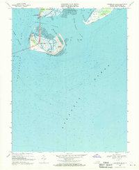
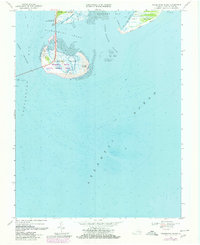
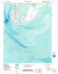
Editions of this 1968 Fishermans Island Map
4 editions found
Other maps of this area

1893 · Virginia Beach
USGS Topo · 1:125,000

1907 · Norfolk
USGS Topo · 1:125,000

1918 · Cape Henry
USGS Topo · 1:62,500

1919 · Cape Henry
USGS Topo · 1:62,500

1943 · Elliots Creek
USGS Topo · 1:25,000

1943 · Townsend
USGS Topo · 1:24,000

1943 · Richmond
USGS Topo · 1:250,000

1946 · Eastville
USGS Topo · 1:250,000

1946 · Currituck Sound
USGS Topo · 1:250,000

1949 · Richmond
USGS Topo · 1:250,000