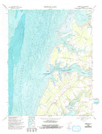
1968 Map of Jamesville
USGS Topo · Published 1992About this map
The tidal landscape of the Virginia Eastern Shore is deeply etched by the Chesapeake Bay and its complex network of winding waterways. This topographic and bathymetric record highlights the critical maritime interface of the late 1960s, where small settlements like Jamesville and Wardtown are linked by the water-borne commerce of Occohannock Creek. The abundance of landing sites, including Concord Wharf, Davis Wharf, and Stewarts Landing, suggests a coastline still heavily reliant on small-scale shipping and local harvesting.
Find a feature on this map
37 named features on this map. Tap any name to fly to it.
Don’t see what you’re looking for? This feature index may not catch every label — zoom into the map to look around manually.
Map Details
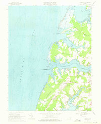
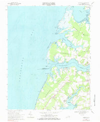
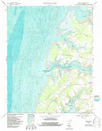
Editions of this 1968 Jamesville Map
4 editions found
Other maps of this area

1942 · Nandua Creek
USGS Topo · 1:24,000

1942 · Nassawadox
USGS Topo · 1:24,000

1943 · Nassawadox
USGS Topo · 1:31,680

1943 · Jamesville
USGS Topo · 1:31,680

1943 · Pungoteague
USGS Topo · 1:31,680

1943 · Franktown
USGS Topo · 1:31,680

1943 · Exmore
USGS Topo · 1:24,000

1943 · Richmond
USGS Topo · 1:250,000

1944 · Exmore
USGS Topo · 1:31,680

1946 · Eastville
USGS Topo · 1:250,000