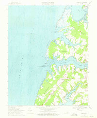
1968 Map of Jamesville
USGS Topo · Published 1971About this map
Occohannock Creek and Craddock Creek dominate this coastal landscape on Virginia's Eastern Shore, carving deep inlets into the land. The mapping reveals a maritime economy defined by waterfront hubs like Concord Wharf, Morleys Wharf, and James Wharf, which served as critical link points between the peninsula's interior farms and the Chesapeake Bay. Inland, the settlement pattern follows the high ground of the necks, with small communities such as Jamesville and Wardtown established along local routes like 183. Significant historical landmarks, including Bethel Ch and St Marys Ch, anchor these rural neighborhoods. Extensive tidal flats and points like Powells Bluff and Savage Pt trace a shifting shoreline, illustrating the delicate balance between the land and the bay's waters in the late 1960s.
Find a feature on this map
55 named features on this map. Tap any name to fly to it.
Don’t see what you’re looking for? This feature index may not catch every label — zoom into the map to look around manually.
Map Details
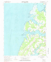
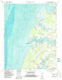
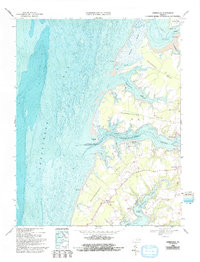
Editions of this 1968 Jamesville Map
4 editions found
Other maps of this area

1942 · Nandua Creek
USGS Topo · 1:24,000

1942 · Nassawadox
USGS Topo · 1:24,000

1943 · Nassawadox
USGS Topo · 1:31,680

1943 · Jamesville
USGS Topo · 1:31,680

1943 · Pungoteague
USGS Topo · 1:31,680

1943 · Franktown
USGS Topo · 1:31,680

1943 · Exmore
USGS Topo · 1:24,000

1943 · Richmond
USGS Topo · 1:250,000

1944 · Exmore
USGS Topo · 1:31,680

1946 · Eastville
USGS Topo · 1:250,000