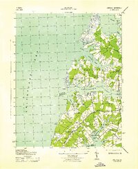
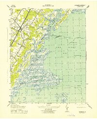
1943 Map of Jamesville
USGS Topo · Published 1943About this map
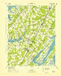
Occohannock Creek and its many winding tributaries dominate this 1940s coastal survey of the Virginia Eastern Shore. The landscape is defined by the agricultural and maritime rhythms of Occohannock Neck, Scarborough Neck, and Craddock Neck, where the boundary between Accomack Co and Northampton Co cuts through the marshes. Small rural communities like Jamesville and Wardtown serve as inland hubs for the surrounding farmstead and fishing economies.
Find a feature on this map
44 named features on this map. Tap any name to fly to it.
Don’t see what you’re looking for? This feature index may not catch every label — zoom into the map to look around manually.
Map Details
Editions of this 1943 Jamesville Map
2 editions found
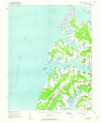
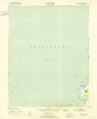
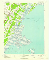
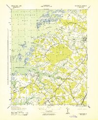
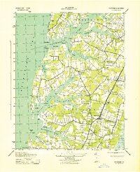
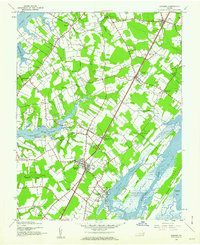
Other maps of this area
1942 · Nandua Creek
USGS Topo · 1:24,000
1942 · Nassawadox
USGS Topo · 1:24,000
1943 · Nassawadox
USGS Topo · 1:31,680
1943 · Pungoteague
USGS Topo · 1:31,680
1943 · Franktown
USGS Topo · 1:31,680
1943 · Exmore
USGS Topo · 1:24,000

1943 · Richmond
USGS Topo · 1:250,000
1944 · Exmore
USGS Topo · 1:31,680

1946 · Eastville
USGS Topo · 1:250,000

1949 · Richmond
USGS Topo · 1:250,000