Old Maps of Appomattox County, Virginia for Metal Detecting
Plan your next treasure hunt with 101 historic maps of Appomattox County. Find old homesites, ghost towns, trails, and gathering spots that may be lost to time — perfect for identifying promising metal detecting locations.
- Locate forgotten sites: Uncover places like long-lost settlements, abandoned rail lines, or gathering spots.
- Plan better hunts: Use map overlays combined with LiDAR or satellite views to narrow in on historically rich areas.
- Made for detectorists: Thousands of hobbyists use these maps to discover relics, coins, and hidden history.
Use these historic maps to boost your research and find new opportunities beneath the surface of Appomattox County.
Appomattox County, VA maps
(101)- 1892 Map of Lynchburg
 1892 Lynchburg1892 Print · USGSCentral Virginia in the 1890s centered on the vital rail and river junction of Lynchburg and its surrounding tobacco-growing counties. Family historians can trace ancestral crossings at Wards Road Ferry, locate the Academy church, and follow the early Virginia Midland Rail Road through Evington.6 unique versions available
 - 1892 Map of Buckingham
 1892 Buckingham1892 Print · USGSCentral Virginia in the late nineteenth century was defined by its river-and-rail economy along the James River. Genealogists and historians can trace the foundations of local life through the Kleinburg School, the Soap Stone Quarry, and the Virginia Midland Railroad.7 unique versions available
 - 1892 Map of Appomattox
 1892 Appomattox1892 Print · USGSCentral Virginia in the 1890s appears as a landscape of small agricultural hubs and vital river crossings. Genealogists can trace family names and landmarks like Morris Church, the Grave of Patrick Henry, and crossings such as Beazleys Ford.6 unique versions available
 - 1944 Map of Lynchburg
 1944 Lynchburg1944 Print · USGSThe James River corridor hums with activity during the mid-1940s as four major railways converge on the industrial and collegiate city of Lynchburg. Researchers can trace old family sites and schools like the Rosenwald Sch, Oxford Furnace, and Galts Mill.3 unique versions available
 - 1947 Map of Roanoke, 1948 Print
 1947 Roanoke1948 Print · USGSCentral Virginia in the late 1940s reveals a region defined by its great mountain ridges and the powerful river-and-rail economy connecting Roanoke to Lynchburg. Researchers can trace the path of the Virginian RR and locate historic county seats like Charlotte Court House.2 unique versions available
 - 1950 Map of Lynchburg, 1963 Print
 1950 Lynchburg1963 Print · USGSMid-century Lynchburg and the surrounding Piedmont hills are caught in a moment of industrial and rail prominence. Researchers can trace the legacy of local commerce and community through landmarks like Oxford Furnace, Tomahawk Mill, and Lynchburg Womens College.
 - 1956 Map of Brookneal, 1957 Print
 1956 Brookneal1957 Print · USGSBrookneal and the southern Piedmont are seen here in the mid-1950s at the confluence of the Staunton and Falling rivers. Genealogists and historians can locate family landmarks such as Red Hill (Home of Patrick Henry), Hat Creek Sch, and the St Lukes Ch.2 unique versions available
 - 1956 Map of Charlotte Court House, 1957 Print
 1956 Charlotte Court House1957 Print · USGSCharlotte County in the mid-fifties is captured here as a landscape of crossroads settlements and historic rail lines. Researchers can trace the layout of Charlotte Court House, locate the VPI Experimental Farm, and find rural landmarks like Wards Fork Mill.2 unique versions available
 - 1958 Map of Appomattox, 1960 Print
 1958 Appomattox1960 Print · USGSCentral Virginia is captured in the late fifties as the rail-side towns of Appomattox and Concord thrive. Genealogists can trace family landmarks like Earlys Chapel Cem and historic sites such as the McLean House.2 unique versions available
 - 1958 Map of Pamplin City, 1960 Print
 1958 Pamplin City1960 Print · USGSThe Virginia Piedmont in the late fifties is captured here through its network of forest reserves and small rail-side communities. Trace local family history through numerous landmarks like Pamplin City, Peaks Sch, and the Colonial Trail.
 - 1959 Map of Roanoke
 1959 Roanoke1959 Print · USGSCentral Virginia and the Blue Ridge appear in great detail during the late fifties, showcasing the transition from mountain industry to Piedmont farmland. Trace the path of the Norfolk and Western railroad or find old river towns like Appomattox and Amelia Court House.
 - 1961 Map of Shipman, 1963 Print
 1961 Shipman1963 Print · USGSNelson County's rugged ridges and the James River corridor are captured here in the early 1960s, showing a landscape defined by rail lines and rural community life. Researchers can trace historic church sites like White Rock Ch, the rail hub at Gladstone, and the grounds of the County Training Sch.2 unique versions available
 - 1963 Map of Roanoke
 1963 Roanoke1963 Print · USGSCentral Virginia and the Blue Ridge front appear here in the early sixties, caught between their deep railroad roots and new postwar developments. Genealogists and historians can trace the rail lines of the Norfolk and Western through towns like Bedford and Altavista, or locate family landmarks near Smith Mountain Lake.
 - 1963 Map of Kelly, 1965 Print
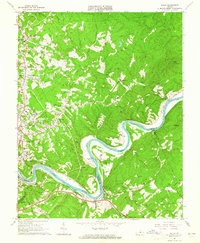 1963 Kelly1965 Print · USGSThe James River corridor in the early 1960s reveals a landscape of industrial railways and deep-rooted family homesteads. Genealogists and historians can trace the locations of Brightwell Mill, the Oxford Furnace site, and family cemeteries like Megginson Cem.3 unique versions available
 - 1966 Map of Mike, 1968 Print
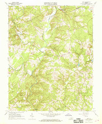 1966 Mike1968 Print · USGSThe rolling hills of southern Campbell County come alive in this mid-sixties survey, centered on the Falling River valley. Genealogists can locate family landmarks such as Hat Creek Ch, Morris Church, and the Falling River Sch.2 unique versions available
 - 1967 Map of Andersonville, 1971 Print
 1967 Andersonville1971 Print · USGSBuckingham County's wooded hills and headwaters are captured in the late sixties as state and experimental forests began to dominate the local landscape. Genealogists and historians can trace rural family sites near Andersonville, New Store, and Second Liberty Ch.3 unique versions available
 - 1967 Map of Prospect, 1972 Print
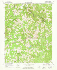 1967 Prospect1972 Print · USGSThe rural landscape of Prince Edward County is captured here in the late sixties as the NORFOLK AND WESTERN railroad linked communities like Prospect and Elam. Genealogists and local historians can locate several country churches, including St Pauls Ch, alongside river landmarks like Beazley Ford.3 unique versions available
 - 1968 Map of Red House, 1971 Print
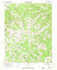 1968 Red House1971 Print · USGSThe rural borders of Charlotte, Campbell, and Appomattox Counties are captured here in the late sixties. Genealogists and local historians can trace family locations near Red House, Rolling Hill, and the Whites Chapel Cem.2 unique versions available
 - 1968 Map of Concord, 1971 Print
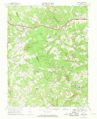 1968 Concord1971 Print · USGSThe rural landscapes of Campbell and Appomattox Counties are captured here in the late sixties along the NORFOLK AND WESTERN rail line. Genealogists can locate family landmarks like Earlys Chapel, Old Concord Cem, and the Sherwill community center.2 unique versions available
 - 1968 Map of Appomattox, 1971 Print
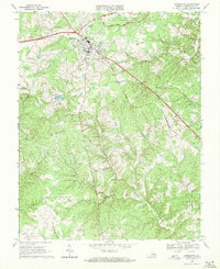 1968 Appomattox1971 Print · USGSAppomattox in the late sixties shows a historic landscape transitioning into a modern community. Genealogists and historians can trace the many rural landmarks of the day, including Galilee Ch, Evergreen, and the Robert E Lee Academy.3 unique versions available
 - 1968 Map of Vera, 1971 Print
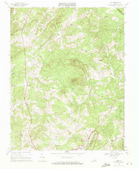 1968 Vera1971 Print · USGSAppomattox and Buckingham counties are shown here in the late sixties, a landscape defined by timbered ridges and historic Civil War sites. Genealogists can trace family landmarks like Babcock Cem and rural congregations such as Liberty Chapel and Herman Ch.3 unique versions available
 - 1968 Map of Stonewall, 1971 Print
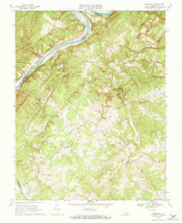 1968 Stonewall1971 Print · USGSAppomattox County in the late sixties remains a landscape of river-fronting industry and quiet rural crossroads. Genealogists and researchers can find many church-centered communities and historic river landmarks, including Stonewall Mills, Mt Zion Cem, and Pettyjohn Island.2 unique versions available
 - 1968 Map of Madisonville, 1972 Print
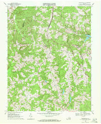 1968 Madisonville1972 Print · USGSMadisonville and the surrounding Virginia countryside appear in detail during the late sixties, showing a landscape of small rural settlements and parish churches. Genealogists can trace family connections at Vincent Corner, locate landmarks like Wards Fork Mill, and follow the Norfolk and Western line to Maloney Siding.2 unique versions available
 - 1968 Map of Pamplin, 1972 Print
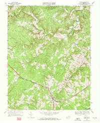 1968 Pamplin1972 Print · USGSCentral Virginia’s rural landscape is captured here during the late sixties, highlighting the vital rail corridor through Pamplin. Genealogists and local historians can trace the paths between Hixburg, Rocks Ch, and family cemeteries scattered near Vaughans Creek.3 unique versions available
 - 1968 Map of Holiday Lake, 1972 Print
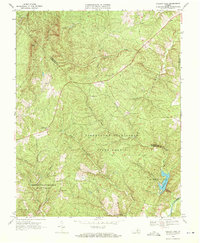 1968 Holiday Lake1972 Print · USGSThe Appomattox and Buckingham county line was a landscape of dense state forests and quiet rural crossroads in the late sixties. Researchers can trace family sites near Toga, Rose Bower, and the historic grounds of Pleasant Grove Ch.3 unique versions available
Showing maps 1-25 of 101
Top cities of Appomattox County
Frequently asked questions
- What are the different types of historical maps available for Appomattox County?
- What is the oldest map of Appomattox County?
- Where can I purchase historical maps of Appomattox County for my home or office?
- Where can I download high-res historical maps of Appomattox County?
- Are there historical topographic maps available for Appomattox County?
- Is there historical aerial imagery available for Appomattox County?
- Where are historical maps of Appomattox County sourced from?