Old Maps of Raymond Farm, Fauquier County for Academic Research
Study the evolution of Raymond Farm with 17 high-resolution historic maps. Whether you're teaching, researching, or modeling changes in land use, these maps provide essential visual documentation of urban, environmental, and geographic change.
- Analyze long-term change: Track patterns in development, transportation, and natural features.
- Ideal for environmental or urban studies: Support academic projects with primary historical map data.
- Use in the classroom or lab: Educators and researchers rely on these maps to bring historical context to life.
These maps are a powerful tool for teaching, research, and visualizing how Raymond Farm has changed over the decades.
Raymond Farm, Fauquier County maps
(17)- 1894 Map of Warrenton
 1894 Warrenton1894 Print · USGSVirginia's northern Piedmont and mountain gaps are mapped here in the late nineteenth century as the rail-and-river economy flourished. Genealogists can trace family names and small crossroads from Warrenton and Brentsville to White Sulphur Springs.9 unique versions available
 - 1894 Map of Warrenton, 1897 Print
 1894 Warrenton1897 Print · USGSFauquier County and its neighbors are documented here in the late nineteenth century, showing a landscape defined by the Bull Run Mountains and the Rappahannock. Genealogists and historians can trace old homesteads and transport hubs like Warrenton, Thorofare Gap, and Sudley Spring.
 - 1927 Map of Remington
 1927 Remington1927 Print · USGSFauquier and Culpeper counties appear here in the late twenties, captured as a landscape of river-bottom farms and rail towns. Genealogists can trace family footprints at Fauquier Sulphur Springs, Westley Chapel, and the Luttrell Sch.4 unique versions available
 - 1930 Map of Warrenton
 1930 Warrenton1930 Print · USGSFauquier and Culpeper counties are captured here in the late twenties, showing a rural landscape organized around the Southern railroad and the Rappahannock River. Researchers can trace old school districts and river crossings like Hinson Ford and Litchfield Sch.2 unique versions available
 - 1948 Map of Washington
 1948 Washington1948 Print · USGSThe Potomac and Chesapeake regions in the late 1940s reveal a landscape of expanding military reach and deep-rooted Tidewater settlements. Trace old rail corridors like the Richmond Fredericksburg & Potomac RR or locate landmarks like the Wakefield Washington Monument and St. Marys College.2 unique versions available
 - 1957 Map of Washington, 1966 Print
 1957 Washington1966 Print · USGSThe mid-Atlantic region during the mid-fifties and early sixties reveals a landscape of growing suburbs and vital military outposts. Researchers can trace historic river towns and shorelines from Alexandria to the Hooper Islands and St Clements Island.5 unique versions available
 - 1961 Map of Washington
 1961 Washington1961 Print · USGSThe mid-Atlantic region in the late fifties is presented in remarkable detail, from the Blue Ridge foothills to the Chesapeake Eastern Shore. Researchers can trace historic river landings and military sites like Mount Vernon, Fort Belvoir, and Point Lookout.2 unique versions available
 - 1966 Map of Warrenton, 1968 Print
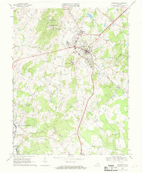 1966 Warrenton1968 Print · USGSWarrenton and its surrounding Fauquier County countryside appear here in the mid-sixties as a blend of traditional crossroads and emerging military infrastructure. Local historians can trace the Southern rail line to Meetze or find family landmarks like Fauquier White Sulphur Springs and Our Saviour Ch.4 unique versions available
 - 1982 Map of Washington West, 1983 Print
 1982 Washington West1983 Print · USGSThe Virginia and Maryland suburbs were undergoing intense development in the early eighties as the capital region expanded outward. Researchers can trace the footprint of Cold War-era defense sites like Fort Belvoir and Vint Hill Farms Station alongside growing academic centers like George Mason University.
 - 1986 Map of Washington West
 1986 Washington West1986 Print · USGSNorthern Virginia and the D.C. metro area are captured here in the mid-eighties as suburban growth began to meet rural Fauquier County. Trace the development of the corridor from Alexandria out to Dulles and the preserved lands of Prince William Forest Park.2 unique versions available
 - 1989 Map of Washington
 1989 Washington1989 Print · USGSThe Potomac River valley and Chesapeake Bay are shown in comprehensive detail during the late 1980s. Genealogists and historians can trace the transition from urban Alexandria to the rural Northern Neck, locating landmarks like Mount Vernon and Stratford Hall.
 - 1994 Map of Warrenton, 1999 Print
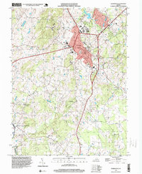 1994 Warrenton1999 Print · USGSWarrenton and its surrounding Fauquier County landscapes are captured here in the late twentieth century as the area transitioned from rural life to a growing hub. Researchers can locate local landmarks like Fauquier White Sulphur Springs, St Johns Sch, and the quiet woods of Whitney State Forest.
 - 2011 Map of Warrenton, 2011 Print
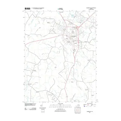 2011 Warrenton2011 Print · USGSCovers Raymond Farm, including Warrenton, Turnbull, and other nearby areas
 - 2013 Map of Warrenton, 2013 Print
 2013 Warrenton2013 Print · USGSCovers Raymond Farm, including Warrenton, Turnbull, and other nearby areas
 - 2016 Map of Warrenton, 2016 Print
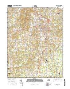 2016 Warrenton2016 Print · USGSCovers Raymond Farm, including Warrenton, Turnbull, and other nearby areas
 - 2019 Map of Warrenton, 2019 Print
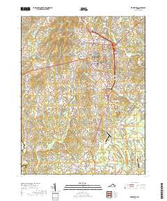 2019 Warrenton2019 Print · USGSCovers Raymond Farm, including Warrenton, Turnbull, and other nearby areas
 - 2022 Map of Warrenton, 2022 Print
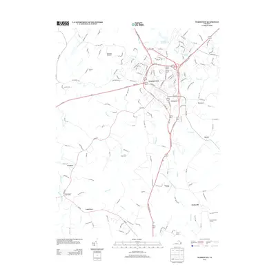
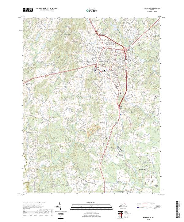 2022 Warrenton2022 Print · USGSWarrenton and its surrounding Fauquier County countryside appear here in the early twenty-first century, balancing its role as a county seat with deep-rooted rural traditions. Genealogists can locate family sites like the William Edmonds Family Cem and Bell - Lewis - Smith Family Cem, or trace landmarks like the Fauquier County Courthouse.
End of results
Showing maps 1-17 of 17
Frequently asked questions
- What are the different types of historical maps available for Raymond Farm?
- What is the oldest map of Raymond Farm?
- Where can I purchase historical maps of Raymond Farm for my home or office?
- Where can I download high-res historical maps of Raymond Farm?
- Are there historical topographic maps available for Raymond Farm?
- Is there historical aerial imagery available for Raymond Farm?
- Where are historical maps of Raymond Farm sourced from?