Old Maps of Star Tannery, Virginia for Academic Research
Study the evolution of Star Tannery with 18 high-resolution historic maps. Whether you're teaching, researching, or modeling changes in land use, these maps provide essential visual documentation of urban, environmental, and geographic change.
- Analyze long-term change: Track patterns in development, transportation, and natural features.
- Ideal for environmental or urban studies: Support academic projects with primary historical map data.
- Use in the classroom or lab: Educators and researchers rely on these maps to bring historical context to life.
These maps are a powerful tool for teaching, research, and visualizing how Star Tannery has changed over the decades.
Star Tannery, VA maps
(18)- 1894 Map of Winchester, 1899 Print
 1894 Winchester1899 Print · USGSThe Virginia and West Virginia borderlands appear here in the late nineteenth century, showing a landscape defined by mountain ridges and bustling rail junctions. Researchers can trace early rural life through family-named sites like Unger Store and Fawcetts Gap or the resort history of Capon Springs.6 unique versions available
 - 1923 Map of Middletown
 1923 Middletown1923 Print · USGSThe West Virginia and Virginia borderlands were a patchwork of mountain farms and river crossings in the early 1920s. Genealogists can trace family names through landmarks like Hooks Mills, Capon Springs, and the Christian Church.
 - 1937 Map of Middletown
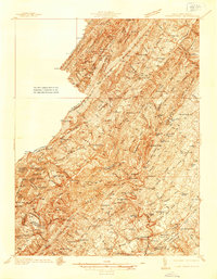 1937 Middletown1937 Print · USGSFrederick and Shenandoah Counties are surveyed here in the late 1930s, documenting the valley's ridge-and-hollow terrain and Civil War history. Genealogists can locate family landmarks like Nieswanders Fort, Quaker Hill Cem, and the industry at Star Tannery.2 unique versions available
 - 1943 Map of Middletown
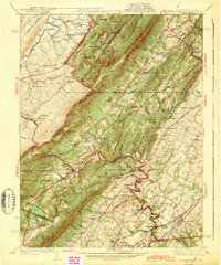 1943 Middletown1943 Print · USGSThe Virginia and West Virginia borderlands are revealed in this wartime-era survey of Frederick County and the surrounding ridges. Genealogists and historians can trace family locations near Star Tannery, the Cedar Creek Battlefield, or old schoolhouses like Mountain View Sch.2 unique versions available
 - 1948 Map of Cumberland
 1948 Cumberland1948 Print · USGSMid-century Appalachia and the Shenandoah Valley are shown in detail, documenting the industrial and transportation hubs of the tri-state area. Genealogists can trace family roots through settlements like Double Tollgate and Bunker Hill or along the Baltimore & Ohio RR.3 unique versions available
 - 1952 Map of Cumberland
 1952 Cumberland1952 Print · USGSThe Potomac Highlands and the Shenandoah Valley are revealed in this early 1950s survey of the Appalachian interior. Researchers can trace the river-and-rail corridors connecting Cumberland, Winchester, and the recreational waters of Deep Creek Lake.
 - 1956 Map of Cumberland, 1966 Print
 1956 Cumberland1966 Print · USGSThe tri-state Highlands in the mid-1950s show a landscape shaped by coal, timber, and the massive presence of the Baltimore & Ohio RR. Researchers can trace the industrial corridor from Cumberland through the Allegheny Mountains to mountain retreats like Deep Creek Lake.6 unique versions available
 - 1957 Map of Cumberland
 1957 Cumberland1957 Print · USGSThe Potomac River valley and the ridges of the Allegheny Front define this mid-century landscape at the intersection of Maryland, West Virginia, and Pennsylvania. Trace the steam-era rail lines of the Baltimore and Ohio RR or locate rural landmarks like St Stephens Church and Stony River Dam.
 - 1961 Map of Cumberland
 1961 Cumberland1961 Print · USGSThe tri-state highlands of Maryland, West Virginia, and Pennsylvania are shown in the mid-twentieth century as a complex landscape of ridges and river valleys. Researchers can trace the winding Potomac River and find old rail-and-river towns like Cumberland, Keyser, and Morgantown.
 - 1962 Map of Cumberland
 1962 Cumberland1962 Print · USGSThe central Appalachians meet at the height of the mid-century industrial era, showing the rugged topography between Morgantown and Winchester. Genealogists can trace family lands near Fort Necessity or along the vital Baltimore & Ohio RR corridors.
 - 1965 Map of Mountain Falls, 1968 Print
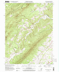
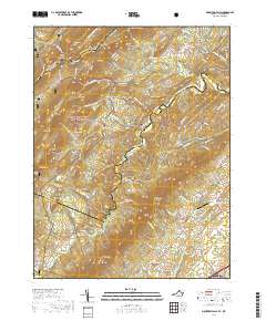
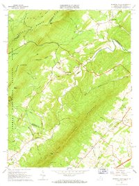 1965 Mountain Falls1968 Print · USGSThe Virginia and West Virginia borderlands in the mid-1960s reveal a landscape of mountain ridges and secluded valley settlements. Genealogists and historians can trace family locations through landmarks like Star Tannery, Gravel Springs Cem, and the Mineral Mine.3 unique versions available
 - 1983 Map of Winchester, 1985 Print
 1983 Winchester1985 Print · USGSThe northern Shenandoah Valley and the rugged West Virginia borderlands are captured here in the early eighties. Researchers can trace the rail networks of the B & O RR and find local landmarks like Potomac State College, Three Churches, and the Old Iron Furnace.3 unique versions available
 - 1999 Map of Mountain Falls, 2001 Print
 1999 Mountain Falls2001 Print · USGSThe Virginia-West Virginia borderlands at the close of the twentieth century show a landscape of deep hollows and persistent rural settlements. Genealogists can locate family landmarks like Gravel Springs Cem, Star Tannery, and St Stephens Ch along the base of North Mountain.
 - 2011 Map of Mountain Falls, 2011 Print
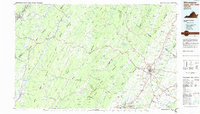
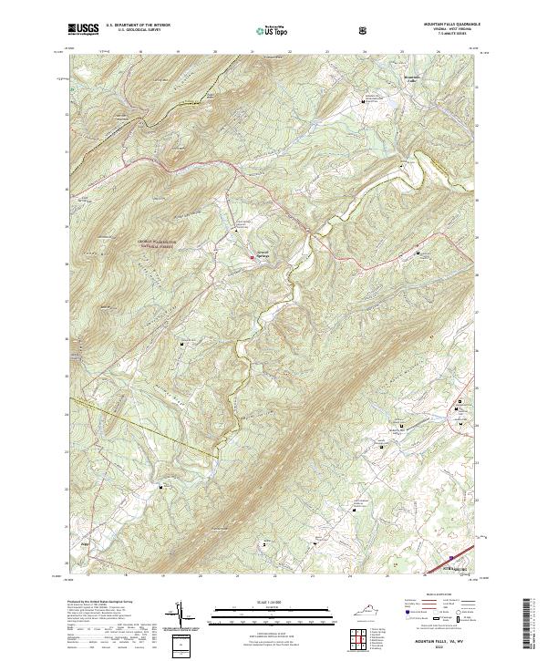
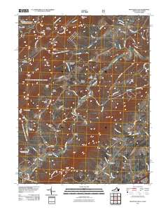 2011 Mountain Falls2011 Print · USGSCovers Star Tannery, including Strasburg, Zepp, and other nearby areas
 - 2013 Map of Mountain Falls, 2013 Print
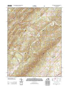 2013 Mountain Falls2013 Print · USGSCovers Star Tannery, including Strasburg, Zepp, and other nearby areas
 - 2016 Map of Mountain Falls, 2016 Print
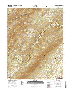 2016 Mountain Falls2016 Print · USGSCovers Star Tannery, including Strasburg, Zepp, and other nearby areas
 - 2019 Map of Mountain Falls, 2019 Print
 2019 Mountain Falls2019 Print · USGSCovers Star Tannery, including Strasburg, Zepp, and other nearby areas
 - 2022 Map of Mountain Falls, 2022 Print
 2022 Mountain Falls2022 Print · USGSThe Virginia and West Virginia borderlands are shown here in the early twenty-first century as a landscape of rural settlements and protected forest. Genealogists can trace family footprints across numerous sites like Richards Cem, Gravel Springs, and the Mulberry Run Cem.
End of results
Showing maps 1-18 of 18
Top cities near Star Tannery
- Front Royal historical maps
- Strasburg historical maps
- Woodstock historical maps
- Stephens City historical maps
- Shawneeland historical maps
- Middletown historical maps
See more
Frequently asked questions
- What are the different types of historical maps available for Star Tannery?
- What is the oldest map of Star Tannery?
- Where can I purchase historical maps of Star Tannery for my home or office?
- Where can I download high-res historical maps of Star Tannery?
- Are there historical topographic maps available for Star Tannery?
- Is there historical aerial imagery available for Star Tannery?
- Where are historical maps of Star Tannery sourced from?