Old Maps of White Pine Lodge, Virginia
Explore 15 old maps of White Pine Lodge, spanning from 1890 to today. These high-resolution historic maps reveal how streets, neighborhoods, landmarks, and natural features evolved over time — perfect for genealogy, metal detecting, research, and local history exploration.
What you can do with these maps:
- See how White Pine Lodge changed over time: Compare historical maps to modern-day views to trace roads, homesites, rail lines & more.
- View detailed metadata: Each map includes creators, publishers, year, scale, and archive source.
- Overlay maps with satellite & LiDAR: Visualize the past alongside modern tools to explore terrain & human change.
- Trusted historical sources: Maps sourced from the USGS, Library of Congress, and other archives.
- Access maps your way: View online, download high-res files, or order prints for personal or research use.
Start exploring old maps of White Pine Lodge to uncover forgotten places, hidden landmarks, and the deep history beneath your feet.
White Pine Lodge, VA maps
(15)- 1890 Map of Dublin
 1890 Dublin1890 Print · USGSThe mountainous borderlands of Virginia and West Virginia are captured here in the late nineteenth century as industry and rail expanded along the New River. Genealogists and historians can trace the foundations of local commerce through sites like Pearisburg, the Belle Hampton Mine, and river crossings at Peppers Ferry.
 - 1891 Map of Dublin
 1891 Dublin1891 Print · USGSAcross Southwest Virginia and West Virginia in the late nineteenth century, the river and rail lines dictated the pace of mountain life. Genealogists can trace family footprints through numerous river crossings like Ingles Ferry and historic industry sites like Altoona Mines and Mercers Salt Works.9 unique versions available
 - 1923 Map of Pearisburg
 1923 Pearisburg1923 Print · USGSThe West Virginia and Virginia state line follows the high crest of Peters Mountain in the early 1920s. Genealogists can trace a remarkable concentration of rural education and faith at sites like Oak Hill School and Green Valley Church.3 unique versions available
 - 1932 Map of Pearisburg
 1932 Pearisburg1932 Print · USGSGiles County in the early 1930s is defined by the winding New River and its mountain-bound communities. Genealogists can trace early homesteads and local institutions through Goodwins Ferry, Hoges Store, and several named schools like McGrady Sch.3 unique versions available
 - 1937 Map of Pearisburg
 1937 Pearisburg1937 Print · USGSGiles County at the onset of the late 1930s reveals a rugged mountain landscape where the New River dictates the path of commerce and travel. Genealogists can trace family roots through numerous rural landmarks like Hoges Store, Goodwins Ferry, and the remote McClardy School.3 unique versions available
 - 1955 Map of Bluefield
 1955 Bluefield1955 Print · USGSThe Central Appalachian borderlands come alive in the mid-fifties, showing the coal and rail networks connecting Bluefield to Beckley. Researchers can trace the industrial landscape of the New River Ordnance Plant and the terrain of Burkes Garden.
 - 1957 Map of Bluefield, 1967 Print
 1957 Bluefield1967 Print · USGSThe heart of Central Appalachia in the mid-fifties is defined by the winding rail lines and river valleys of the coalfields. Researchers can trace the industrial footprints of towns like Welch and Princeton or locate landmarks such as the Bluestone Reservoir and Claytor Lake.2 unique versions available
 - 1961 Map of Bluefield
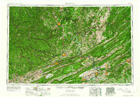 1961 Bluefield1961 Print · USGSThe coalfields and mountain ridges of southern West Virginia and southwest Virginia are captured in the early sixties. Genealogists can trace family ties through rail-linked towns like Princeton and Richlands or along the shores of Bluestone Reservoir.
 - 1965 Map of Interior, 1966 Print
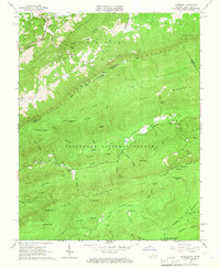 1965 Interior1966 Print · USGSThe high ridges of the Virginia and West Virginia border are captured here in the mid-sixties, dominated by the Jefferson National Forest. Researchers can locate family sites such as Fortner Cem or trace the path of the Appalachian Trail through Lybrook Gap.5 unique versions available
 - 1982 Map of Radford, 1983 Print
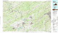 1982 Radford1983 Print · USGSThe New River Valley and surrounding highlands are shown during a period of significant regional growth in the early eighties. Genealogists and historians can trace the development of VPI, locate historic sites like Yellow Sulphur Springs, and follow the Norfolk and Western rail lines through the gaps.2 unique versions available
 - 2011 Map of Interior, 2011 Print
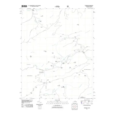 2011 Interior2011 Print · USGSThe West Virginia and Virginia borderlands come into focus in the early 2000s as a haven for hikers and conservationists. You can trace the Appalachian Trl past Wind Rock or locate ancestral family plots at Ballard-Harvey Cemetery and Fortner Cemetery.
 - 2013 Map of Interior, 2013 Print
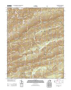 2013 Interior2013 Print · USGSThe Virginia and West Virginia borderlands appear in this early twenty-first-century survey, showcasing a landscape of high ridges and remote gaps. Outdoor historians and genealogists can trace the Appalachian Trail past White Pine Lodge and the Stony Creek Lookout Tower.
 - 2016 Map of Interior, 2016 Print
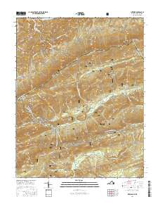 2016 Interior2016 Print · USGSThe West Virginia and Virginia borderlands come alive in this recent survey of the ridges and valleys between Monroe and Giles counties. Researchers can trace the Appalachian Trail past the Stony Creek Lookout Tower and find family sites like Ballard-Harvey Cem.
 - 2019 Map of Interior, 2019 Print
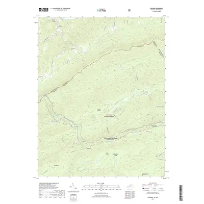 2019 Interior2019 Print · USGSThe Monroe and Giles County borderlands come to life in this 2019 survey, where the Appalachian National Scenic Trail winds through high mountain gaps. Genealogists and hikers can locate the Ballard-Harvey Cem, the community of Interior, and the Stony Creek Lookout Tower.
 - 2022 Map of Interior, 2022 Print
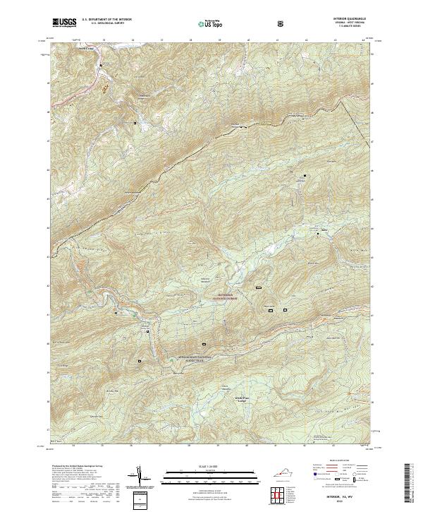 2022 Interior2022 Print · USGSThe West Virginia and Virginia border comes alive in this contemporary topographical view of the Appalachian ridges. Genealogists and hikers can trace the Appalachian National Scenic Trail past several family burial grounds like the Kessinger Family Cem and Harvey Cem.
End of results
Showing maps 1-15 of 15
Top cities near White Pine Lodge
- Blacksburg historical maps
- Christiansburg historical maps
- Merrimac historical maps
- Pearisburg historical maps
- Prices Fork historical maps
- Belview historical maps
See more
Frequently asked questions
- What are the different types of historical maps available for White Pine Lodge?
- What is the oldest map of White Pine Lodge?
- Where can I purchase historical maps of White Pine Lodge for my home or office?
- Where can I download high-res historical maps of White Pine Lodge?
- Are there historical topographic maps available for White Pine Lodge?
- Is there historical aerial imagery available for White Pine Lodge?
- Where are historical maps of White Pine Lodge sourced from?