Old Maps of Tompkins, Virginia
Explore 15 old maps of Tompkins, spanning from 1890 to today. These high-resolution historic maps reveal how streets, neighborhoods, landmarks, and natural features evolved over time — perfect for genealogy, metal detecting, research, and local history exploration.
What you can do with these maps:
- See how Tompkins changed over time: Compare historical maps to modern-day views to trace roads, homesites, rail lines & more.
- View detailed metadata: Each map includes creators, publishers, year, scale, and archive source.
- Overlay maps with satellite & LiDAR: Visualize the past alongside modern tools to explore terrain & human change.
- Trusted historical sources: Maps sourced from the USGS, Library of Congress, and other archives.
- Access maps your way: View online, download high-res files, or order prints for personal or research use.
Start exploring old maps of Tompkins to uncover forgotten places, hidden landmarks, and the deep history beneath your feet.
Tompkins, VA maps
(15)- 1890 Map of Roanoke
 1890 Roanoke1890 Print · USGSThe Roanoke Valley in the late nineteenth century was a growing rail and mining hub shaped by the Blue Ridge. Researchers can trace the early industrial footprint of the Rorer Mines or locate old community anchors like Dillons Mill and Hales Bridge.
 - 1891 Map of Roanoke
 1891 Roanoke1891 Print · USGSVirginia's Blue Ridge and Roanoke Valley come alive in the late nineteenth century, showing a landscape defined by new rail lines and old river crossings. Genealogists and local researchers can trace family landmarks and forgotten transport nodes like Rorer Mines, Hollins Inst., and Blackwater Ford.8 unique versions available
 - 1947 Map of Roanoke, 1948 Print
 1947 Roanoke1948 Print · USGSCentral Virginia in the late 1940s reveals a region defined by its great mountain ridges and the powerful river-and-rail economy connecting Roanoke to Lynchburg. Researchers can trace the path of the Virginian RR and locate historic county seats like Charlotte Court House.2 unique versions available
 - 1951 Map of Moneta, 1953 Print
 1951 Moneta1953 Print · USGSMid-century Bedford and Franklin counties are shown here before the inundation of the Roanoke valley. Genealogists and historians can trace the foundations of rural life through landmarks like Davis Mill, the VIRGINIAN rail line, and Emmaus Sch.3 unique versions available
 - 1959 Map of Roanoke
 1959 Roanoke1959 Print · USGSCentral Virginia and the Blue Ridge appear in great detail during the late fifties, showcasing the transition from mountain industry to Piedmont farmland. Trace the path of the Norfolk and Western railroad or find old river towns like Appomattox and Amelia Court House.
 - 1963 Map of Roanoke
 1963 Roanoke1963 Print · USGSCentral Virginia and the Blue Ridge front appear here in the early sixties, caught between their deep railroad roots and new postwar developments. Genealogists and historians can trace the rail lines of the Norfolk and Western through towns like Bedford and Altavista, or locate family landmarks near Smith Mountain Lake.
 - 1967 Map of Smith Mountain Dam, 1969 Print
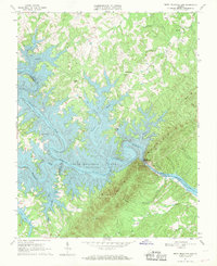 1967 Smith Mountain Dam1969 Print · USGSThe Roanoke River valley was undergoing a massive transformation in the late sixties as the new reservoir filled the surrounding gaps and hollows. Genealogists and local historians can locate established landmarks like Patmos Ch, Graves Store, and the Staunton Cem situated above the rising waters.3 unique versions available
 - 1971 Map of Roanoke, 1977 Print
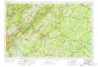 1971 Roanoke1977 Print · USGSThe Virginia Piedmont and Blue Ridge mountains meet in this early 1970s landscape of river valleys and rail hubs. Researchers can trace historic transportation routes and landmarks like the Appomattox Court House Nat Hist Pk, the Peaks of Otter, and Amelia Court House.2 unique versions available
 - 1977 Map of Smith Mountain Dam, 1983 Print
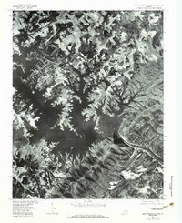 1977 Smith Mountain Dam1983 Print · USGSBedford County's river valleys are captured here in the late seventies, showing the expansive waters behind Smith Mountain Dam. Researchers can trace the rural landscape around Dundee and Kasey or locate family landmarks like Graves Store.
 - 1985 Map of Roanoke, 1986 Print
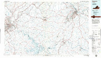 1985 Roanoke1986 Print · USGSMid-eighties Virginia comes into focus across the Blue Ridge and the upper Roanoke River valley during a period of steady regional growth. Genealogists and historians can trace family-named landmarks like Mt Moriah Ch, local hubs such as Cave Spring, and sites like the New London Airport (Drag Strip).2 unique versions available
 - 2012 Map of Smith Mountain Dam, 2012 Print
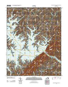 2012 Smith Mountain Dam2012 Print · USGSBedford County's landscape is defined by the expansive waters of Smith Mountain Lake in the early twenty-first century. Genealogists and local historians can trace legacy sites like Staunton Cemetery and Thomas Chapel Cemetery near modern landmarks like the Smith Mountain Dam.
 - 2013 Map of Smith Mountain Dam, 2013 Print
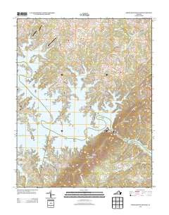 2013 Smith Mountain Dam2013 Print · USGSBedford County's transformed river valley is shown here in the early twenty-first century as a sprawling network of lakeside communities and marinas. Researchers can trace the development of peninsular settlements like Eagles Roost and Lake Haven or locate landmarks like Smith Mountain Lookout Tower.
 - 2016 Map of Smith Mountain Dam, 2016 Print
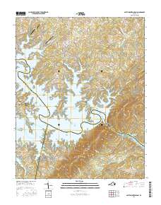 2016 Smith Mountain Dam2016 Print · USGSThe tri-county boundary of Bedford, Franklin, and Pittsylvania meets at the massive Smith Mountain Dam during the mid-2010s. Researchers can locate numerous family burial grounds including Parker Cem and Thomas Chapel Cem alongside the deep inlets of Smith Mountain Lake.
 - 2019 Map of Smith Mountain Dam, 2019 Print
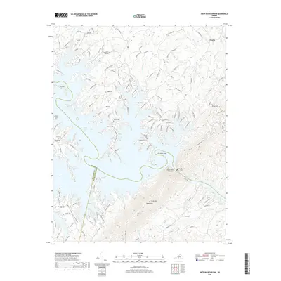 2019 Smith Mountain Dam2019 Print · USGSThe Roanoke River shoreline near the Bedford and Franklin county line is captured here after decades of reservoir development. Genealogists can locate family landmarks like Toney Family Cem and Staunton Cem near the banks of Smith Mountain Lake.
 - 2022 Map of Smith Mountain Dam, 2022 Print
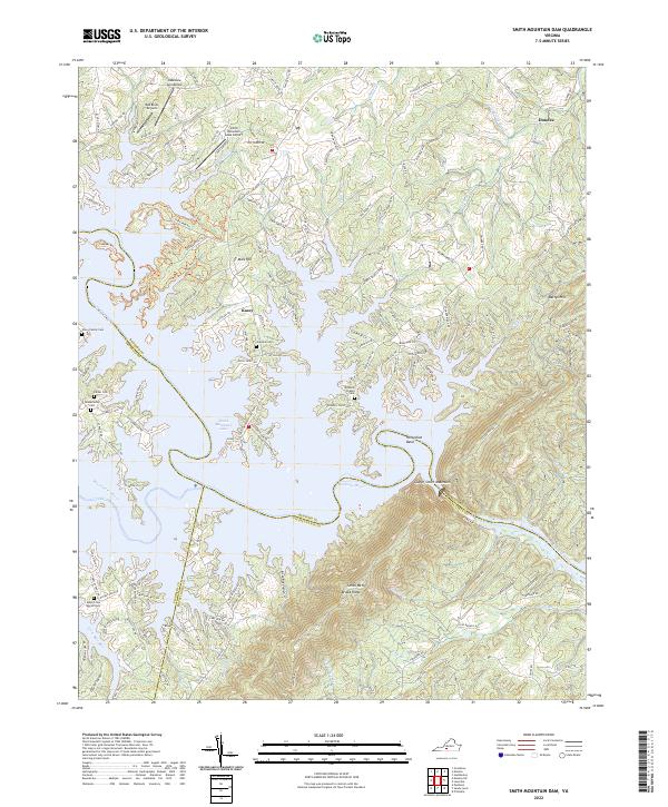 2022 Smith Mountain Dam2022 Print · USGSThe convergence of the Roanoke and Blackwater rivers in the twenty-first century reveals a landscape shaped by water and aviation. Researchers can trace family history through sites like the Toney Family Cem or locate local landmarks like the Red Birds Airyard and Mars Hill.
End of results
Showing maps 1-15 of 15
Frequently asked questions
- What are the different types of historical maps available for Tompkins?
- What is the oldest map of Tompkins?
- Where can I purchase historical maps of Tompkins for my home or office?
- Where can I download high-res historical maps of Tompkins?
- Are there historical topographic maps available for Tompkins?
- Is there historical aerial imagery available for Tompkins?
- Where are historical maps of Tompkins sourced from?