Old Maps of Cypress Manor, Southampton County for Academic Research
Study the evolution of Cypress Manor with 11 high-resolution historic maps. Whether you're teaching, researching, or modeling changes in land use, these maps provide essential visual documentation of urban, environmental, and geographic change.
- Analyze long-term change: Track patterns in development, transportation, and natural features.
- Ideal for environmental or urban studies: Support academic projects with primary historical map data.
- Use in the classroom or lab: Educators and researchers rely on these maps to bring historical context to life.
These maps are a powerful tool for teaching, research, and visualizing how Cypress Manor has changed over the decades.
Cypress Manor, Southampton County maps
(11)- 1920 Map of Holland
 1920 Holland1920 Print · USGSCoastal plain life at the end of the Great War centers on the river-and-rail hubs of Franklin and Holland. Genealogists can trace family footprints across dozens of country schools like Holmes School and river crossings such as Joyners Bridge and Manning Ferry.2 unique versions available
 - 1943 Map of Holland
 1943 Holland1943 Print · USGSThe Virginia and North Carolina borderlands come alive in this mid-century survey of the Chowan River basin. Local historians can trace a network of river landings and rural schools, from Manning Ferry to the community around Stony Branch Church.
 - 1953 Map of Norfolk, 1954 Print
 1953 Norfolk1954 Print · USGSCoastal Virginia and northeastern North Carolina appear here during the post-war industrial boom, showing the critical rail-and-sea connections of Hampton Roads. Genealogists can trace family roots through rural landmarks like Gethsemane Ch, the Caledonia State Prison Farm, and the vast interior of the Dismal Swamp.4 unique versions available
 - 1957 Map of Holland, 1958 Print
 1957 Holland1958 Print · USGSThe Virginia and North Carolina borderlands come into focus in the mid-fifties, centered on the river city of Franklin and the agricultural community of Holland. Researchers can trace early river crossings like Manning Ferry (Site) and find family roots at Oberry Sch Cem or St Matthews Ch.
 - 1967 Map of Franklin, 1969 Print
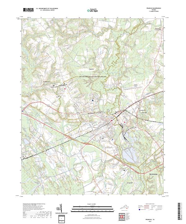
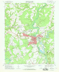 1967 Franklin1969 Print · USGSThe city of Franklin and the surrounding swamplands of the coastal plain come into sharp focus during the late sixties. Genealogists and local historians can trace rural family churches like White Oak Springs Ch and St Johns Ch or the rail-side growth of Hunterdale.5 unique versions available
 - 1985 Map of Norfolk, 1986 Print
 1985 Norfolk1986 Print · USGSThe Tidewater region in the mid-eighties shows the dense urban expansion of the coastal cities alongside the preservation of the Great Dismal Swamp. Researchers can trace rural family-named crossroads and historic transit routes like the Seaboard Coast Line or find Somerton and Lake Drummond.3 unique versions available
 - 2010 Map of Franklin, 2010 Print
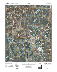 2010 Franklin2010 Print · USGSCovers Cypress Manor, including Franklin, Camptown, and other nearby areas
 - 2013 Map of Franklin, 2013 Print
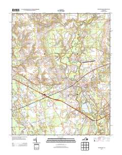 2013 Franklin2013 Print · USGSCovers Cypress Manor, including Franklin, Camptown, and other nearby areas
 - 2016 Map of Franklin, 2016 Print
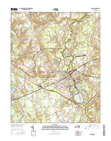 2016 Franklin2016 Print · USGSCovers Cypress Manor, including Franklin, Camptown, and other nearby areas
 - 2019 Map of Franklin, 2019 Print
 2019 Franklin2019 Print · USGSCovers Cypress Manor, including Franklin, Camptown, and other nearby areas
 - 2022 Map of Franklin, 2022 Print
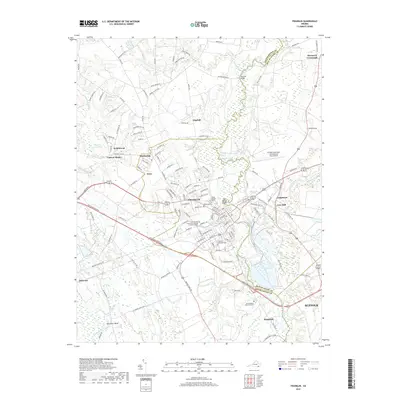
 2022 Franklin2022 Print · USGSFranklin and the surrounding Southampton County landscape are shown here in the early twenty-first century. Genealogists and local historians can trace family roots through the Beale Family Cemetery or explore the riverfront heritage of Lees Mill and Camptown.
End of results
Showing maps 1-11 of 11
Frequently asked questions
- What are the different types of historical maps available for Cypress Manor?
- What is the oldest map of Cypress Manor?
- Where can I purchase historical maps of Cypress Manor for my home or office?
- Where can I download high-res historical maps of Cypress Manor?
- Are there historical topographic maps available for Cypress Manor?
- Is there historical aerial imagery available for Cypress Manor?
- Where are historical maps of Cypress Manor sourced from?