Old Maps of Kinzley, Virginia
Explore 13 old maps of Kinzley, spanning from 1894 to today. These high-resolution historic maps reveal how streets, neighborhoods, landmarks, and natural features evolved over time — perfect for genealogy, metal detecting, research, and local history exploration.
What you can do with these maps:
- See how Kinzley changed over time: Compare historical maps to modern-day views to trace roads, homesites, rail lines & more.
- View detailed metadata: Each map includes creators, publishers, year, scale, and archive source.
- Overlay maps with satellite & LiDAR: Visualize the past alongside modern tools to explore terrain & human change.
- Trusted historical sources: Maps sourced from the USGS, Library of Congress, and other archives.
- Access maps your way: View online, download high-res files, or order prints for personal or research use.
Start exploring old maps of Kinzley to uncover forgotten places, hidden landmarks, and the deep history beneath your feet.
Kinzley, VA maps
(13)- 1894 Map of Staunton, 1897 Print
 1894 Staunton1897 Print · USGSThe Shenandoah Valley was a hub of rail commerce and mountain industry in the 1890s, centered on the growing city of Staunton. Genealogists and historians can trace defunct rail stops and early industry at Giant Mills, Milnesville, and Stribling Spgs.8 unique versions available
 - 1944 Map of Staunton, 1961 Print
 1944 Staunton1961 Print · USGSThe Shenandoah Valley during the mid-forties remains a landscape of rail-connected trade centers and rural crossroads. Researchers can trace family roots through numerous country landmarks like Green Hill Cem, Franks Mill, and Jerusalem Chapel.2 unique versions available
 - 1947 Map of Staunton
 1947 Staunton1947 Print · USGSAugusta County at the end of the Second World War shows a vibrant Shenandoah Valley hub centered on the railroad crossing at Staunton. Genealogists can locate family landmarks like Glebe Cem, St Johns Ch, and the outlying settlement of Stuarts Draft.2 unique versions available
 - 1949 Map of Charlottesville
 1949 Charlottesville1949 Print · USGSThe Shenandoah Valley and Blue Ridge appear in the late 1940s as a thriving corridor of rail and river commerce. Researchers can trace the mid-century footprints of Harrisonburg, Staunton, and Culpeper alongside the historic routes of the Southern Railway.2 unique versions available
 - 1956 Map of Charlottesville, 1966 Print
 1956 Charlottesville1966 Print · USGSThe Shenandoah Valley and Blue Ridge are captured in detail during the mid-1960s as the modern interstate system began to emerge. Genealogists and historians can trace rail-connected hubs like Waynesboro or follow the river paths of the Rapidan River and Rivanna River.4 unique versions available
 - 1964 Map of Staunton, 1966 Print
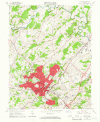 1964 Staunton1966 Print · USGSStaunton thrived as a Shenandoah Valley institutional and rail hub during the mid-sixties. Researchers can trace the grounds of Mary Baldwin College, find ancestors at the Staunton National Cem, and locate old industrial sites like Franks Mill.4 unique versions available
 - 1986 Map of Staunton
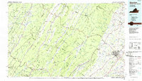 1986 Staunton1986 Print · USGSThe Shenandoah Valley and Allegheny Highlands meet in the mid-1980s, revealing a landscape of historic mountain towns and thermal resorts. Genealogists and historians can trace institutional landmarks like Mary Baldwin College or follow the legacy of the Chesapeake and Ohio Railroad through Craigsville and Swoope.2 unique versions available
 - 1998 Map of Staunton, 2001 Print
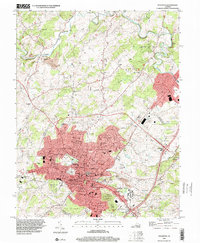 1998 Staunton2001 Print · USGSStaunton and the Shenandoah Valley are depicted in the late nineties, showcasing the city's growth and its deep-seated educational and medical institutions. Researchers can locate Staunton National Cem, the Woodrow Wilson Birthplace, and historical mills like Quicks Mill along the river.
 - 2010 Map of Staunton, 2010 Print
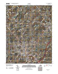 2010 Staunton2010 Print · USGSStaunton and the Middle River valley are shown here in the contemporary era, detailing the city's growth alongside its storied landmarks. Genealogists and researchers can trace ancestral sites at Thornrose Cemetery, Staunton, and historic local crossings like Franks Mill.
 - 2013 Map of Staunton, 2013 Print
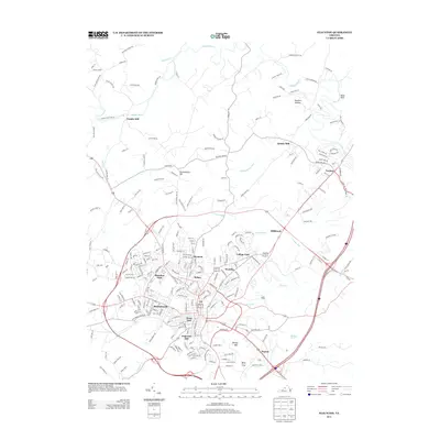 2013 Staunton2013 Print · USGSThe Shenandoah Valley during its early twenty-first-century expansion shows a landscape where historic mill sites meet modern residential growth. Genealogists and historians can trace family-named landmarks like Betsey Bell and Mary Gray or the older reaches of Plunkettsville and Verona.
 - 2016 Map of Staunton, 2016 Print
 2016 Staunton2016 Print · USGSThe city of Staunton and its rolling Shenandoah Valley surroundings appear here in the mid-2010s. Researchers can trace historical footprints through landmarks like Mary Baldwin Coll, the expansive Thornrose Cem, and legacy milling sites like Franks Mill.
 - 2019 Map of Staunton, 2019 Print
 2019 Staunton2019 Print · USGSStaunton and the Shenandoah Valley are shown in the late 2010s as the regional hub continues to expand around its historic core. Researchers can locate family landmarks like Thornrose Cem, trace the campus of Mary Baldwin College, or find old industrial sites like Franks Mill.
 - 2022 Map of Staunton, 2022 Print
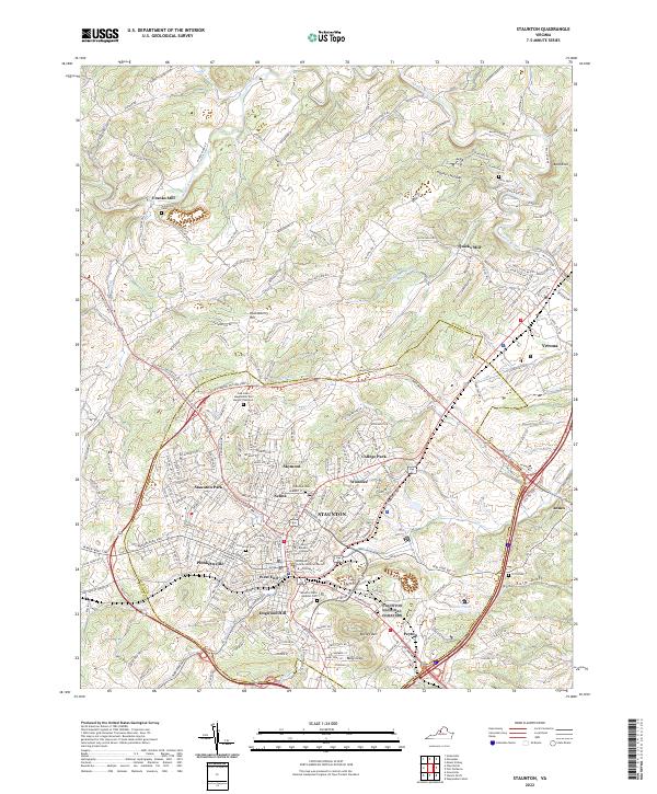 2022 Staunton2022 Print · USGSStaunton and its surrounding Augusta County highlands are documented here in the early twenty-first century. Genealogists and historians can trace family locations near Franks Mill, the historic campus of Mary Baldwin College, and numerous sites like Fairview Cem.
End of results
Showing maps 1-13 of 13
Frequently asked questions
- What are the different types of historical maps available for Kinzley?
- What is the oldest map of Kinzley?
- Where can I purchase historical maps of Kinzley for my home or office?
- Where can I download high-res historical maps of Kinzley?
- Are there historical topographic maps available for Kinzley?
- Is there historical aerial imagery available for Kinzley?
- Where are historical maps of Kinzley sourced from?