Old Maps of Washington Harbor, Washington
Explore 10 old maps of Washington Harbor, spanning from 1938 to today. These high-resolution historic maps reveal how streets, neighborhoods, landmarks, and natural features evolved over time — perfect for genealogy, metal detecting, research, and local history exploration.
What you can do with these maps:
- See how Washington Harbor changed over time: Compare historical maps to modern-day views to trace roads, homesites, rail lines & more.
- View detailed metadata: Each map includes creators, publishers, year, scale, and archive source.
- Overlay maps with satellite & LiDAR: Visualize the past alongside modern tools to explore terrain & human change.
- Trusted historical sources: Maps sourced from the USGS, Library of Congress, and other archives.
- Access maps your way: View online, download high-res files, or order prints for personal or research use.
Start exploring old maps of Washington Harbor to uncover forgotten places, hidden landmarks, and the deep history beneath your feet.
Washington Harbor, WA maps
(10)- 1938 Map of Dungeness, 1961 Print
 1938 Dungeness1961 Print · USGSThe northern Olympic Peninsula coastline in the late 1930s shows a landscape of coastal ranches and railroad-dependent towns. Researchers can trace early family holdings like the McNair Ranch or locate historical maritime markers such as the Dungeness L. H. and the vanished rail stops of the Chicago Milwaukee St Paul and Pacific.2 unique versions available
 - 1939 Map of Dungeness
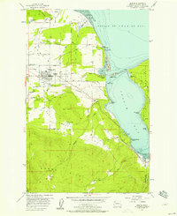
 1939 Dungeness1939 Print · USGSCoastal Clallam County comes alive in the late thirties as a landscape of maritime navigation and valley ranching. Genealogists and historians can locate family landmarks like the McNair Ranch, rural schoolhouses such as Carlsborg Sch, and the winding Old Olympia Highway.
 - 1956 Map of Sequim, 1957 Print
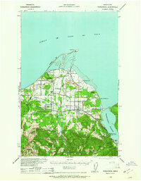
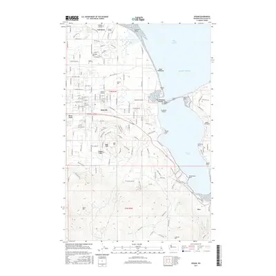
 1956 Sequim1957 Print · USGSThe Olympic Peninsula shoreline meets the agricultural Dungeness Valley in the mid-1950s. Genealogists and local historians can trace family-named sites like Beck Ranch and Grennans Hill, or locate the historic Port Williams (Site) and Jamestown Cemetery.5 unique versions available
 - 1957 Map of Victoria, 1960 Print
 1957 Victoria1960 Print · USGSThe San Juan Islands and the North Cascades coastline are shown in detail during the late fifties, a period of significant military and industrial presence. Researchers can trace historic rail lines like the Great Northern or locate sites such as the Whidbey Island Naval Air Sta and Friday Harbor.4 unique versions available
 - 1979 Map of Port Angeles
 1979 Port Angeles1979 Print · USGSThe northern Olympic Peninsula and southern Vancouver Island are captured here in the late seventies. Family historians can trace the rail networks of the Esquimalt and Nanaimo Railway or locate old coastal settlements like Sooke, Joyce, and Agnew.
 - 2011 Map of Sequim, 2011 Print
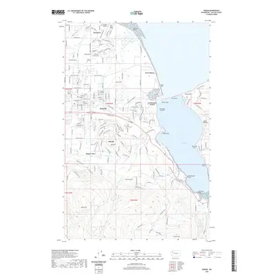
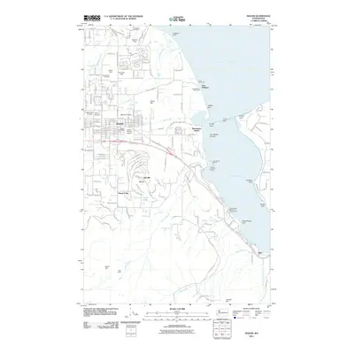 2011 Sequim2011 Print · USGSCovers Washington Harbor, including Sequim, Blyn, and other nearby areas
 - 2014 Map of Sequim, 2014 Print
 2014 Sequim2014 Print · USGSCovers Washington Harbor, including Sequim, Blyn, and other nearby areas
 - 2017 Map of Sequim, 2017 Print
 2017 Sequim2017 Print · USGSCovers Washington Harbor, including Sequim, Blyn, and other nearby areas
 - 2020 Map of Sequim, 2020 Print
 2020 Sequim2020 Print · USGSCovers Washington Harbor, including Sequim, Blyn, and other nearby areas
 - 2023 Map of Sequim, 2023 Print
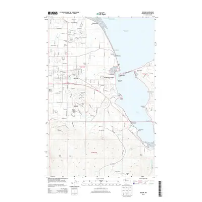
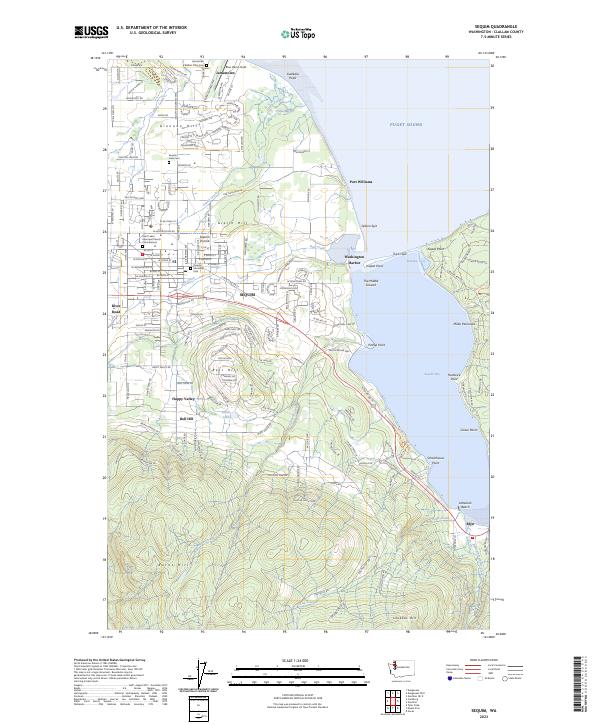 2023 Sequim2023 Print · USGSThe Sequim Prairie and the shores of Sequim Bay are captured in this recent survey, showcasing the area's mix of tribal lands and coastal settlements. Genealogists and historians can trace local sites like the S'Klallam Tribe Cem, Port Williams, and Saint Lukes Episcopal Church Columbarium.
End of results
Showing maps 1-10 of 10
Top cities near Washington Harbor
Frequently asked questions
- What are the different types of historical maps available for Washington Harbor?
- What is the oldest map of Washington Harbor?
- Where can I purchase historical maps of Washington Harbor for my home or office?
- Where can I download high-res historical maps of Washington Harbor?
- Are there historical topographic maps available for Washington Harbor?
- Is there historical aerial imagery available for Washington Harbor?
- Where are historical maps of Washington Harbor sourced from?