Old Maps of Toutle, Washington for Hiking & Exploration
Hike through history with 12 historic maps of Toutle. Explore old trails, ghost towns, and forgotten backroads — perfect for outdoor adventurers and local explorers.
- Rediscover forgotten places: Map out old mining camps, roads, and footpaths that no longer exist on modern maps.
- Layer with modern tools: Combine with LiDAR or satellite views to plan hikes through historical terrain.
- Made for exploration: Popular among hikers, overlanders, and local history lovers.
Use these maps to find adventure and explore the hidden past of Toutle.
Toutle, WA maps
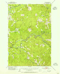
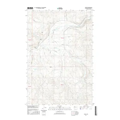
(12)- 1942 Map of Toutle
 1942 Toutle1942 Print · USGSCowlitz County and the river valleys of the Cascades foothills are captured here in the early nineteen-forties. Genealogists and local historians can trace family locations near Toutle, Gilmore Corners, and St Helens, or locate the specific Toutle Lake School.
 - 1953 Map of Hoquiam
 1953 Hoquiam1953 Print · USGSSouthwest Washington in the early fifties shows a landscape shaped by timber, rail, and river commerce from the coast to the Cascades. Genealogists and historians can trace the development of timber towns like Ryderwood and the industrial hubs of Hoquiam and Kelso.2 unique versions available
 - 1953 Map of Toutle, 1955 Print
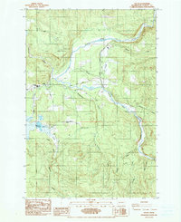
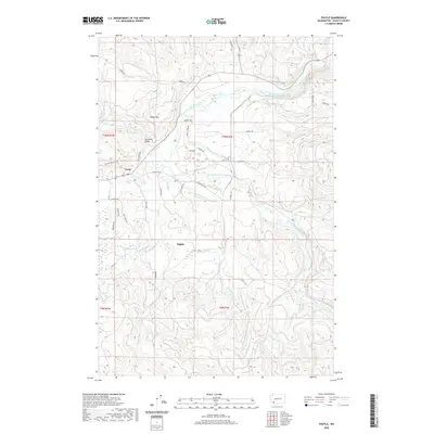
 1953 Toutle1955 Print · USGSCowlitz County’s timber-driven landscape comes into focus during the early fifties as logging operations expanded through the river valleys. Researchers can trace the Weyerhaeuser Timber Co Railroad, locate the Toutle Lake School, and find old sites like Eden Valley or the Windom Mine.3 unique versions available
 - 1957 Map of Hoquiam
 1957 Hoquiam1957 Print · USGSCoastal timber ports and inland rail hubs define Southwest Washington during the late fifties. Genealogists can trace early twentieth-century settlements like Bordeaux, Tono, and Cosmopolis alongside the expanding tracks of the Northern Pacific.
 - 1958 Map of Hoquiam, 1969 Print
 1958 Hoquiam1969 Print · USGSSouthwest Washington and the Columbia River estuary appear here in the mid-century, before major landscape shifts. Researchers can trace the rail lines of the Northern Pacific, locate the Fort Henness Site, or explore the Naselle Air Force Station.2 unique versions available
 - 1962 Map of Hoquiam
 1962 Hoquiam1962 Print · USGSSouthwest Washington in the late fifties is defined by the bustling timber ports of Hoquiam and the rail-linked commerce of the interior valleys. Genealogists and historians can trace the early footprints of settlements like Raymond and Pe Ell, or locate family sites at Grand Mound Cem and Odd Fellows Cem.
 - 1985 Map of Toutle
 1985 Toutle1985 Print · USGSCowlitz County timber and river country are mapped in the mid-1980s as industry and small communities adapted to the local landscape. Genealogists and historians can trace the foundations of Toutle and Sightly or locate landmarks like Toutle Lake School and Beigle Mountain.2 unique versions available
 - 2011 Map of Toutle, 2011 Print
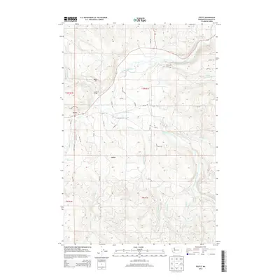
 2011 Toutle2011 Print · USGSCovers Toutle, including Cowlitz County, United States, and other nearby areas
 - 2013 Map of Toutle, 2013 Print
 2013 Toutle2013 Print · USGSCovers Toutle, including Cowlitz County, United States, and other nearby areas
 - 2017 Map of Toutle, 2017 Print
 2017 Toutle2017 Print · USGSCovers Toutle, including Cowlitz County, United States, and other nearby areas
 - 2020 Map of Toutle, 2020 Print
 2020 Toutle2020 Print · USGSCovers Toutle, including Cowlitz County, United States, and other nearby areas
 - 2023 Map of Toutle, 2023 Print
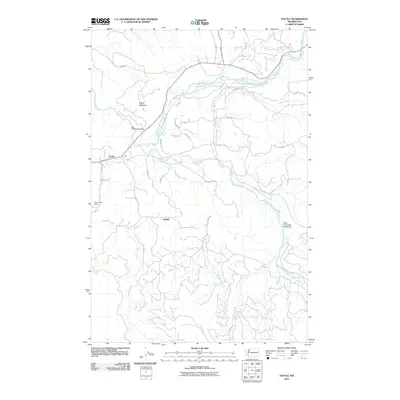
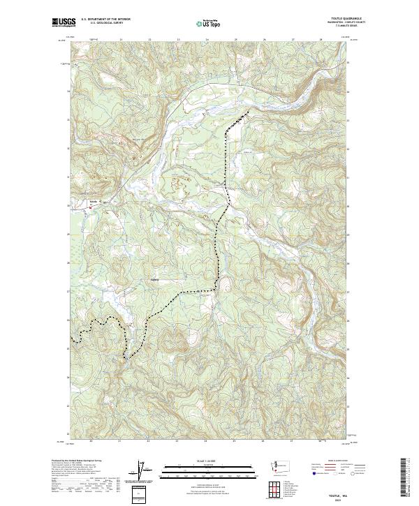 2023 Toutle2023 Print · USGSThe confluence of the north and south forks of the river defines this corner of Cowlitz County in 2023. Trace local geography near the settlements of Toutle and Sightly, or follow drainages like Studebaker Creek and Johnson Creek.
End of results
Showing maps 1-12 of 12
Top cities near Toutle
- Longview historical maps
- Kelso historical maps
- Castle Rock historical maps
- Rainier historical maps
- Winlock historical maps
- Toledo historical maps
See more
Frequently asked questions
- What are the different types of historical maps available for Toutle?
- What is the oldest map of Toutle?
- Where can I purchase historical maps of Toutle for my home or office?
- Where can I download high-res historical maps of Toutle?
- Are there historical topographic maps available for Toutle?
- Is there historical aerial imagery available for Toutle?
- Where are historical maps of Toutle sourced from?