Old Maps of Barstow, Washington
Explore 14 old maps of Barstow, spanning from 1936 to today. These high-resolution historic maps reveal how streets, neighborhoods, landmarks, and natural features evolved over time — perfect for genealogy, metal detecting, research, and local history exploration.
What you can do with these maps:
- See how Barstow changed over time: Compare historical maps to modern-day views to trace roads, homesites, rail lines & more.
- View detailed metadata: Each map includes creators, publishers, year, scale, and archive source.
- Overlay maps with satellite & LiDAR: Visualize the past alongside modern tools to explore terrain & human change.
- Trusted historical sources: Maps sourced from the USGS, Library of Congress, and other archives.
- Access maps your way: View online, download high-res files, or order prints for personal or research use.
Start exploring old maps of Barstow to uncover forgotten places, hidden landmarks, and the deep history beneath your feet.
Barstow, WA maps
(14)- 1936 Map of Marcus
 1936 Marcus1936 Print · USGSUpper Stevens County was a hub of mining and rail transport in the mid-1930s, where the Kettle River meets the Columbia River. Genealogists can trace family roots through numerous rural landmarks like Napoleon Sch and the Old Catholic Mission.
 - 1942 Map of Marcus
 1942 Marcus1942 Print · USGSUpper Stevens County in the late thirties shows a rugged landscape of rail-connected river towns and mountain mines. Trace family roots at the Old Catholic Mission or locate early industrial sites like the Kettle River Mine and Meyers Falls.3 unique versions available
 - 1948 Map of Orient, 1960 Print
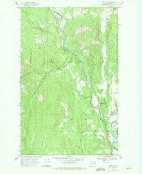
 1948 Orient1960 Print · USGSIn the late 1940s, the remote valley of the Kettle River was a lifeline for border communities along the Great Northern rail line. Genealogists and historians can trace the foundations of local life through labels for the Barstow Sch, the Orient Ranger Station, and the Kettle River Mine.
 - 1951 Map of Orient
 1951 Orient1951 Print · USGSThe Kettle River valley at the onset of the fifties serves as a vital corridor for the Great Northern railroad. Genealogists and historians can trace riverside settlements from Laurier to Barstow, alongside the Talisman Mine and Barstow Sch.2 unique versions available
 - 1954 Map of Okanogan, 1964 Print
 1954 Okanogan1964 Print · USGSNorth Central Washington’s interior comes into focus during the mid-fifties, showing the rise of the Columbia River reservoir system. Genealogists and historians can trace the Great Northern rail line and locate historical mining operations at the Mountain Lion Mine or Gold Hill Mine.2 unique versions available
 - 1958 Map of Okanogan
 1958 Okanogan1958 Print · USGSThe Okanogan River valley and the Colville Indian Reservation are shown here in the late fifties, during a period of established river and rail commerce. Researchers can trace the Great Northern line through Oroville or locate landmarks like the Knowlton School and Orient Ranger Station.
 - 1969 Map of Orient, 1971 Print
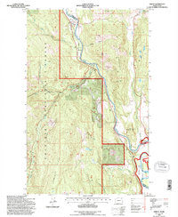
 1969 Orient1971 Print · USGSThe Kettle River valley in the late 1960s remains a rugged corridor of mining and rail transit along the Stevens and Ferry County line. Genealogists and historians can trace the riverside communities of Orient and Barstow or locate the Hidden Treasure Mine and Kelly Hill Cemetery.2 unique versions available
 - 1984 Map of Republic
 1984 Republic1984 Print · USGSThe Okanogan Highlands and Kettle River Range are shown in the mid-1980s, documenting a landscape shaped by mining and timber. Genealogists can trace old settlements like Bodie and Toroda, or locate historic workings such as the Knob Hill Mine and First Thought Mine.
 - 1992 Map of Orient, 1996 Print
 1992 Orient1996 Print · USGSNortheastern Washington’s river-and-rail corridor is captured here in the 1990s as the Kettle River snakes through the canyonlands. Genealogists and historians can locate the Kelly Hill Cemetery and trace the mining sites of Globe Mine and Hidden Treasure Mine.
 - 2011 Map of Orient, 2011 Print
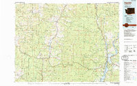
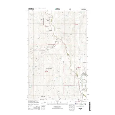
 2011 Orient2011 Print · USGSCovers Barstow, including Orient, Dulwich, and other nearby areas
 - 2014 Map of Orient, 2014 Print
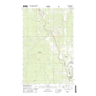
 2014 Orient2014 Print · USGSCovers Barstow, including Orient, Dulwich, and other nearby areas
 - 2017 Map of Orient, 2017 Print
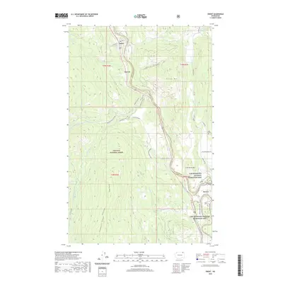
 2017 Orient2017 Print · USGSCovers Barstow, including Orient, Dulwich, and other nearby areas
 - 2020 Map of Orient, 2020 Print
 2020 Orient2020 Print · USGSCovers Barstow, including Orient, Dulwich, and other nearby areas
 - 2023 Map of Orient, 2023 Print
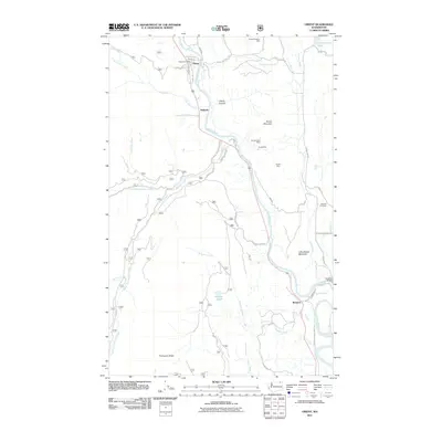
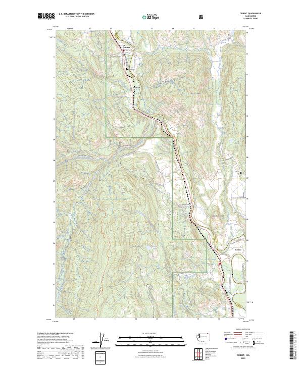 2023 Orient2023 Print · USGSThe Kettle River valley in northeastern Washington remains a quiet corridor of riverside settlements and national forest land. Genealogists and local historians can trace the community layouts of Orient, Dulwich, and Barstow or locate the Orient Cem and Kelly Hill Cem.
End of results
Showing maps 1-14 of 14
Top cities near Barstow
Frequently asked questions
- What are the different types of historical maps available for Barstow?
- What is the oldest map of Barstow?
- Where can I purchase historical maps of Barstow for my home or office?
- Where can I download high-res historical maps of Barstow?
- Are there historical topographic maps available for Barstow?
- Is there historical aerial imagery available for Barstow?
- Where are historical maps of Barstow sourced from?