Old Maps of Trout Lake, Washington for Metal Detecting
Plan your next treasure hunt with 10 historic maps of Trout Lake. Find old homesites, ghost towns, trails, and gathering spots that may be lost to time — perfect for identifying promising metal detecting locations.
- Locate forgotten sites: Uncover places like long-lost settlements, abandoned rail lines, or gathering spots.
- Plan better hunts: Use map overlays combined with LiDAR or satellite views to narrow in on historically rich areas.
- Made for detectorists: Thousands of hobbyists use these maps to discover relics, coins, and hidden history.
Use these historic maps to boost your research and find new opportunities beneath the surface of Trout Lake.
Trout Lake, WA maps
(10)- 1926 Map of Hood River, 1955 Print
 1926 Hood River1955 Print · USGSThe Columbia River Gorge in the mid-twenties shows a landscape defined by competing railroads and early trans-river engineering. Trace the rail lines between Stevenson and Hood River, or locate historic sites like Hemlock Sch and the Bridge of the Gods.
 - 1929 Map of Hood River
 1929 Hood River1929 Print · USGSThe Columbia River Gorge and Hood River Valley are captured here in the late twenties during a period of significant infrastructure growth. Researchers can trace the early rail networks, find remote forest outposts like Race Track Ranger Sta, and locate vanished landmarks such as the Government Sprs Hotel.3 unique versions available
 - 1953 Map of The Dalles, 1965 Print
 1953 The Dalles1965 Print · USGSThe Columbia River Gorge at mid-century shows a region being transformed by massive hydroelectric dams and a growing highway network. Researchers can trace the development of The Dalles Dam, locate the Maryhill Museum, and find old rail stops in Rufus, Wishram, and Arlington.3 unique versions available
 - 1956 Map of The Dalles
 1956 The Dalles1956 Print · USGSThe Columbia River Gorge and the high Cascades are captured in the mid-1950s, showing a vital corridor of rail and road. Researchers can trace the original path of The Old Oregon Trail or locate historical landmarks like the Maryhill Museum and Mount Hood.
 - 1957 Map of The Dalles
 1957 The Dalles1957 Print · USGSThe Columbia River Gorge and the high plateaus of the mid-1950s come alive on this detailed survey of northern Oregon and southern Washington. Researchers can trace the path of the Oregon Trail and The Old Barlow Road alongside river towns like The Dalles and Wishram.
 - 1957 Map of Willard, 1959 Print
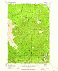 1957 Willard1959 Print · USGSSkamania and Klickitat Counties are shown here during the late 1950s, highlighting the active timber and forest management culture of the Gifford Pinchot National Forest. Researchers can trace historic industrial sites like Mill A and Mill B or locate remote landmarks such as the Peterson Guard Sta and Ice Caves.3 unique versions available
 - 1982 Map of Hood River, 1983 Print
 1982 Hood River1983 Print · USGSThe Columbia River Gorge in the early eighties shows a landscape shaped by massive hydroelectric projects and deep-rooted timber communities. Researchers can trace the rail-and-river network through Cascade Locks and The Dalles Dam, or explore the terrain of Gifford Pinchot National Forest.
 - 1983 Map of Guler Mtn
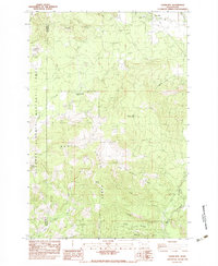 1983 Guler Mtn1983 Print · USGSKlickitat County as it appeared in the early 1980s reveals a landscape of volcanic caves and early timber sites. You can trace the locations of the Gablehouse Mill (Site) or explore the unique geology of Cheese Cave and the Lava Bridge.
 - 1998 Map of Guler Mountain, 2003 Print
 1998 Guler Mountain2003 Print · USGSThe timber and recreation lands of Klickitat County are documented here in the late nineties as the forest transition was well underway. Researchers can locate former industrial footprints like Gablehouse Mill (Site) or unique geologic landmarks including Butter Cave and Lava Bridges.
 - 2023 Map of Guler Mountain, 2023 Print
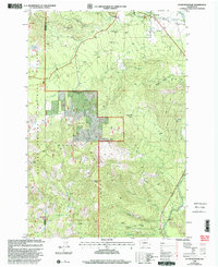
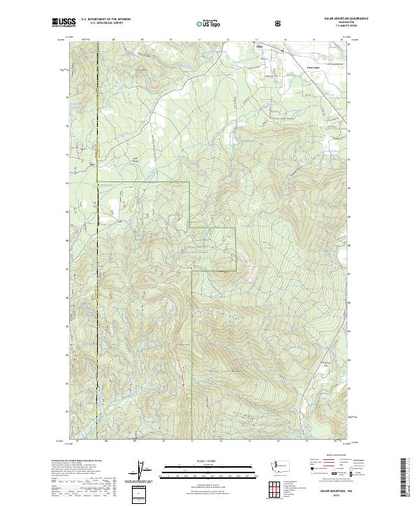 2023 Guler Mountain2023 Print · USGSThe Klickitat and Skamania county line runs through this forested landscape in the early twenty-first century, centered on the high Monte Cristo Range. Researchers can trace the layout of Guler and Trout Lake or locate geological landmarks like Lava Bridge.
End of results
Showing maps 1-10 of 10
Frequently asked questions
- What are the different types of historical maps available for Trout Lake?
- What is the oldest map of Trout Lake?
- Where can I purchase historical maps of Trout Lake for my home or office?
- Where can I download high-res historical maps of Trout Lake?
- Are there historical topographic maps available for Trout Lake?
- Is there historical aerial imagery available for Trout Lake?
- Where are historical maps of Trout Lake sourced from?