Old Maps of Wolfred, Washington
Explore 11 old maps of Wolfred, spanning from 1936 to today. These high-resolution historic maps reveal how streets, neighborhoods, landmarks, and natural features evolved over time — perfect for genealogy, metal detecting, research, and local history exploration.
What you can do with these maps:
- See how Wolfred changed over time: Compare historical maps to modern-day views to trace roads, homesites, rail lines & more.
- View detailed metadata: Each map includes creators, publishers, year, scale, and archive source.
- Overlay maps with satellite & LiDAR: Visualize the past alongside modern tools to explore terrain & human change.
- Trusted historical sources: Maps sourced from the USGS, Library of Congress, and other archives.
- Access maps your way: View online, download high-res files, or order prints for personal or research use.
Start exploring old maps of Wolfred to uncover forgotten places, hidden landmarks, and the deep history beneath your feet.
Wolfred, WA maps
(11)- 1936 Map of Newport
 1936 Newport1936 Print · USGSThe Pend Oreille River valley in the 1930s reveals a landscape of railroad towns and timber outposts along the Idaho border. Genealogists can locate family-named school districts like Locke Sch and Otter Creek Sch, alongside settlements at Dalkena, Cusick, and Scotia.2 unique versions available
 - 1942 Map of Newport
 1942 Newport1942 Print · USGSPend Oreille River country is captured here during the early 1940s, showing the vital rail and river links between Newport and the mountain frontier. Researchers can trace family homesteads near old schools like Fertile Valley Sch or locate the Indian Mission and Dalkena mill site.3 unique versions available
 - 1958 Map of Sandpoint, 1966 Print
 1958 Sandpoint1966 Print · USGSThe Idaho Panhandle and Northeast Washington are shown here in the late fifties, when timber and hydroelectric power drove the local economy. Trace family roots in rail-side towns like Cusick or Metaline Falls, and locate landmarks like the Albeni Falls Dam or Falls Ranger Station.2 unique versions available
 - 1963 Map of Sandpoint
 1963 Sandpoint1963 Print · USGSNorthern Idaho and eastern Washington are shown in the early sixties as a high-country network of timber, mining, and rail. Genealogists and historians can trace the Great Northern line through Metaline Falls, Bonners Ferry, and past the Finch Mine.
 - 1968 Map of Diamond Lake, 1971 Print
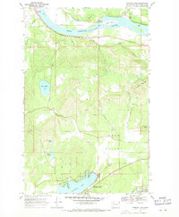 1968 Diamond Lake1971 Print · USGSPend Oreille County's river-and-rail corridor is documented here during the late 1960s, showing the interaction between the valley's waterways and the timberlands. Researchers can trace the waterfront settlements of Dalkena and Furport or the development around Diamond Lake and Camp Cowles.2 unique versions available
 - 1984 Map of Chewelah
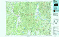 1984 Chewelah1984 Print · USGSNortheastern Washington in the mid-1980s is documented here through its valley settlements and mountain mining districts. Researchers can trace the Burlington Northern line between Springdale and Addy, or locate historical operations like the Wells Fargo Mine and Keystone Mine.
 - 2011 Map of Diamond Lake, 2011 Print
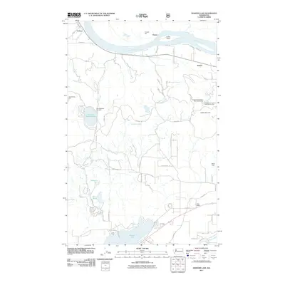 2011 Diamond Lake2011 Print · USGSPend Oreille County at the turn of the decade reveals a landscape of river-bend settlements and hidden mountain lakes. Genealogists and outdoorsmen can trace property lines and landmarks near Dalkena, Diamond Lake, and the historic grounds of Camp Cowles.
 - 2014 Map of Diamond Lake, 2014 Print
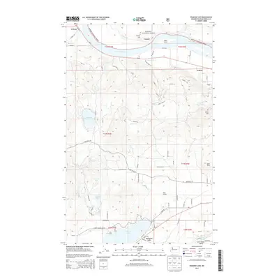 2014 Diamond Lake2014 Print · USGSPend Oreille County’s riverfront settlements and timberlands are captured here in the early twenty-first century. Genealogists and local historians can trace the lakeside developments of Diamond Lake and Camp Cowles or explore the river landings at Delkena and Furport.
 - 2017 Map of Diamond Lake, 2017 Print
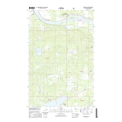 2017 Diamond Lake2017 Print · USGSThe river valley and mountain lakes of Pend Oreille County are documented here in the early twenty-first century. Researchers can trace land patterns near Dalkena, the waterfront at Furport, and the network of forest roads leading to Saddle Mtn.
 - 2020 Map of Diamond Lake, 2020 Print
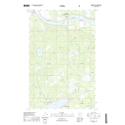 2020 Diamond Lake2020 Print · USGSIn the early twenty-first century, the riverfront and timberlands of Pend Oreille County maintain their rural character. Researchers can trace land tracts near Diamond Lake or follow the Pend Oreille River to the small settlements of Delkena and Furport.
 - 2023 Map of Diamond Lake, 2023 Print
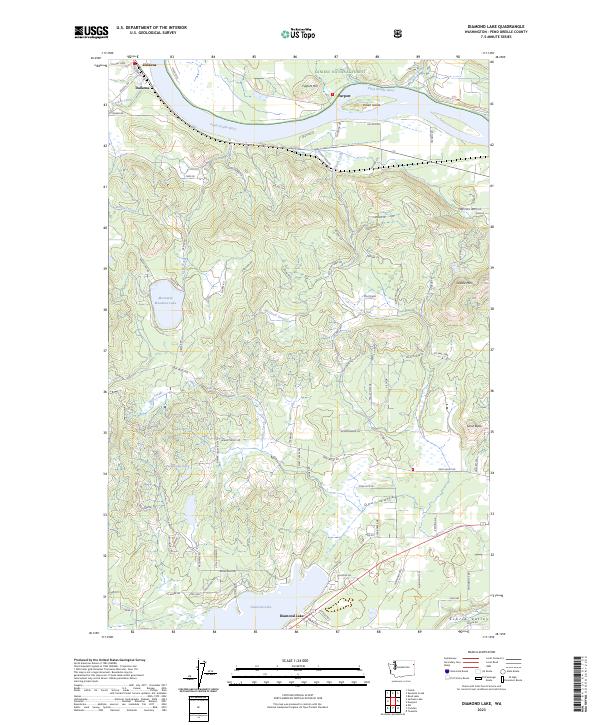 2023 Diamond Lake2023 Print · USGSPend Oreille County at the start of the 2020s shows a landscape shaped by riverfront settlements and upland timber. Genealogists and historians can trace the rural layout around Dalkena, Furport, and the recreational hub of Diamond Lake alongside the Pend Oreille River.
End of results
Showing maps 1-11 of 11
Top cities near Wolfred
Frequently asked questions
- What are the different types of historical maps available for Wolfred?
- What is the oldest map of Wolfred?
- Where can I purchase historical maps of Wolfred for my home or office?
- Where can I download high-res historical maps of Wolfred?
- Are there historical topographic maps available for Wolfred?
- Is there historical aerial imagery available for Wolfred?
- Where are historical maps of Wolfred sourced from?