Old Maps of Eagle Ridge, South Hill for Genealogy
Trace your family roots with 25 historic maps of Eagle Ridge. These high-res maps reveal old neighborhoods, homesites, landmarks, and streets — helping you uncover where your ancestors lived and how the area evolved over time.
- Explore historic neighborhoods: Identify where your relatives may have lived in the 1800s or 1900s.
- Compare maps over time: Trace the changes in streets, buildings, and landmarks for multi-generational research.
- Perfect for genealogy & ancestry research: Used by family historians and researchers to map out lineage and migration.
These maps are an incredible resource for exploring your personal connection to Eagle Ridge's past.
Eagle Ridge, South Hill maps
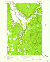
(25)- 1897 Map of Tacoma
 1897 Tacoma1897 Print · USGSPuget Sound and the Tacoma waterfront come alive in the late 1890s, when coal railroads and river valleys drove regional growth. Genealogists can trace family roots in early island settlements like Chautauqua or inland rail towns such as Black Diamond and Wilkeson.2 unique versions available
 - 1900 Map of Tacoma
 1900 Tacoma1900 Print · USGSThe Puget Sound region was a hive of rail and maritime activity at the end of the Victorian era. Researchers can trace early settlements like Chautauqua, identify tribal lands at the Muckleshoot Indian Reservation, and locate mining towns such as Black Diamond.9 unique versions available
 - 1941 Map of Tacoma South, 1958 Print
 1941 Tacoma South1958 Print · USGSThe Puyallup Valley and southern Tacoma outskirts appear here in the early 1940s, just as the region’s rail and military infrastructure reached peak complexity. Genealogists can trace early homesteads and pioneer landmarks like the Site of Old Camp Montgomery and the Mary Mount Military Academy.
 - 1942 Map of Lake Tapps, 1962 Print
 1942 Lake Tapps1962 Print · USGSThe foothills of the Cascades meet the Puyallup Valley in the 1940s, showing a landscape defined by logging and coal extraction. Genealogists can locate family names on markers like Spar Pole Hill or trace rural social hubs like the Sunrise Grange Hall.3 unique versions available
 - 1944 Map of Lake Tapps
 1944 Lake Tapps1944 Print · USGSPierce County during the early 1940s reveals a landscape of industrial river towns and hill-country resource extraction. Genealogists can trace family roots through the Kelly Lake Sch, Coal Mines near Wilkeson, and the Sunrise Grange Hall.3 unique versions available
 - 1944 Map of Tacoma South
 1944 Tacoma South1944 Print · USGSPierce County during the war years shows a landscape of growing towns and deep-rooted history between the river valleys and the prairie. Genealogists and historians can trace family roots through numerous country schools like Kirby Sch or locate 19th-century frontier outposts like the Site of Old Camp Montgomery (1854).
 - 1956 Map of Orting, 1957 Print
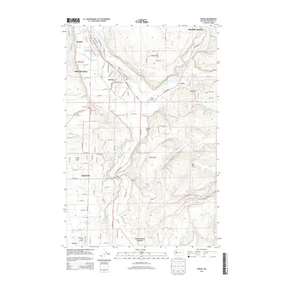
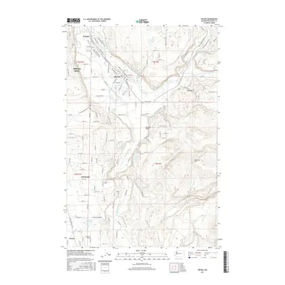
 1956 Orting1957 Print · USGSThe river valleys of Pierce County supported a busy network of rail lines and veterans' services during the mid-fifties. Researchers can trace the grounds of the State Soldiers Home, locate the Puyallup River Fish Hatchery, or follow the Northern Pacific tracks through Crocker.5 unique versions available
 - 1958 Map of Seattle, 1966 Print
 1958 Seattle1966 Print · USGSThe Puget Sound region in the mid-fifties showcases a balance of urban growth and Olympic wilderness. Trace the industrial waterfronts of Tacoma, old naval facilities like Keyport Naval Res, and mountain peaks like Mount Constance.3 unique versions available
 - 1959 Map of Frederickson, 1964 Print
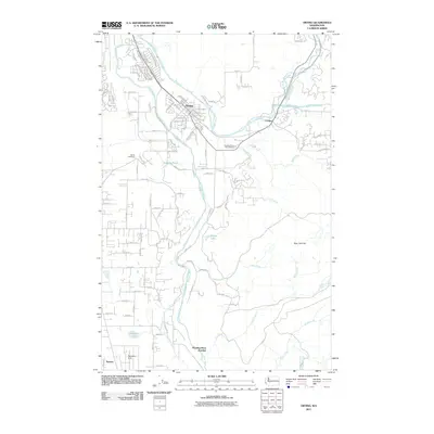
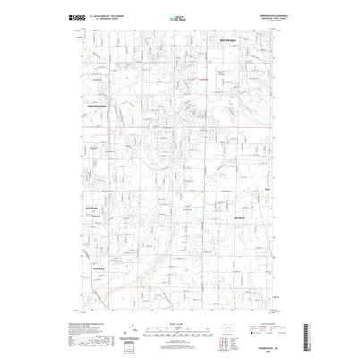
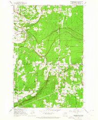 1959 Frederickson1964 Print · USGSPierce County landscape at the close of the fifties shows a mix of timber, industry, and growing rural communities. Genealogists and researchers can trace local landmarks like Graham Sch, the Chicago Milwaukee St Paul and Pacific line, and Patterson Spring.3 unique versions available
 - 1961 Map of Tacoma South, 1968 Print
 1961 Tacoma South1968 Print · USGSPierce County during the early sixties shows the intersection of suburban growth and massive military infrastructure. Genealogists and historians can trace family plots like Henry Smith Cem, old airfields like Thun Field, and the campus of Pacific Lutheran University.
 - 1962 Map of Seattle
 1962 Seattle1962 Print · USGSThe Puget Sound region and Olympic Peninsula are shown at a peak of mid-century growth. Genealogists and historians can trace rail lines like the Pacific Coast RR or locate landmarks such as Fort Lawton and the Bothell Power Station.
 - 1975 Map of Tacoma, 1977 Print
 1975 Tacoma1977 Print · USGSThe Puget Sound region in the mid-seventies reveals a landscape of growing urban centers and massive federal installations. Genealogists and historians can trace the development of Tacoma and Olympia, or locate landmarks like the McNeil Island Penitentiary and Fort Lewis Military Reservation.
 - 1991 Map of Tacoma
 1991 Tacoma1991 Print · USGSThe South Sound and Tacoma waterfront appear here in the early nineties, showing a landscape defined by deep-water inlets and massive federal installations. Researchers can trace the development of Lakewood Center or locate the historic rail lines of the Burlington Northern Railroad and Union Pacific Railroad.
 - 1997 Map of Orting, 2003 Print
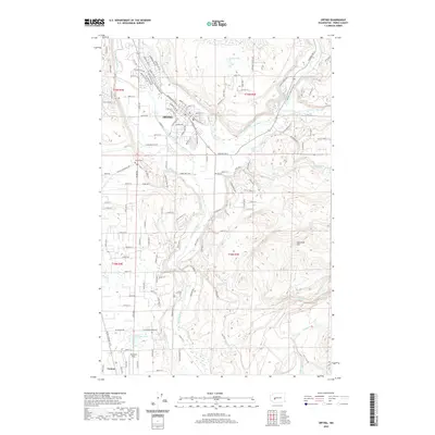
 1997 Orting2003 Print · USGSThe Puyallup Valley at the end of the twentieth century shows a landscape defined by its river systems and historic infrastructure. Researchers can trace the State Soldiers Home, old Coke Ovens, and the winding path of the Carbon River.
 - 1997 Map of Frederickson, 2003 Print
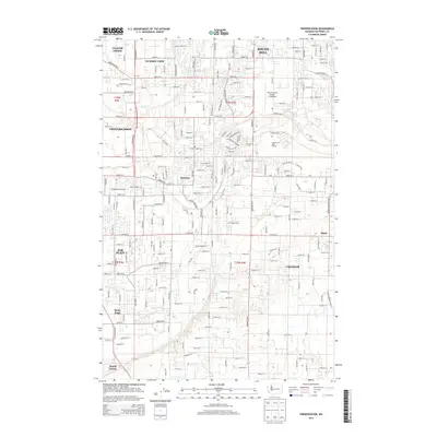
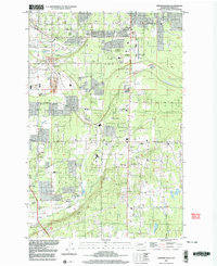 1997 Frederickson2003 Print · USGSPierce County in the late nineties shows a landscape of growing communities and established rural roots. Local historians can trace early schools and churches like Pioneer Valley Sch, Rocky Ridge Sch, and Bethany Ch alongside the MOUNTAIN RAIL DIVISION corridor.
 - 2011 Map of Frederickson, 2011 Print
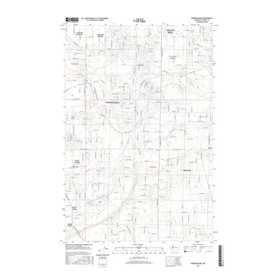
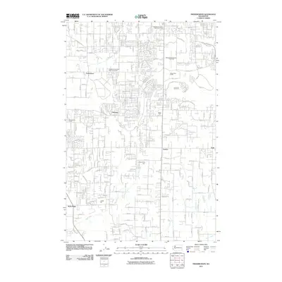 2011 Frederickson2011 Print · USGSCovers Eagle Ridge, including South Hill, Graham, and other nearby areas
 - 2011 Map of Orting, 2011 Print
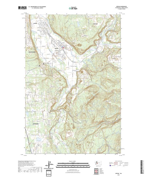
 2011 Orting2011 Print · USGSCovers Eagle Ridge, including South Hill, Graham, and other nearby areas
 - 2014 Map of Frederickson, 2014 Print
 2014 Frederickson2014 Print · USGSCovers Eagle Ridge, including South Hill, Graham, and other nearby areas
 - 2014 Map of Orting, 2014 Print
 2014 Orting2014 Print · USGSCovers Eagle Ridge, including South Hill, Graham, and other nearby areas
 - 2017 Map of Frederickson, 2017 Print
 2017 Frederickson2017 Print · USGSCovers Eagle Ridge, including South Hill, Graham, and other nearby areas
 - 2017 Map of Orting, 2017 Print
 2017 Orting2017 Print · USGSCovers Eagle Ridge, including South Hill, Graham, and other nearby areas
 - 2020 Map of Frederickson, 2020 Print
 2020 Frederickson2020 Print · USGSCovers Eagle Ridge, including South Hill, Graham, and other nearby areas
 - 2020 Map of Orting, 2020 Print
 2020 Orting2020 Print · USGSCovers Eagle Ridge, including South Hill, Graham, and other nearby areas
 - 2023 Map of Orting, 2023 Print
 2023 Orting2023 Print · USGSThe Puyallup and Carbon River valleys are captured here in the early 2020s, showing the evolving landscape around Orting and McMillin. Researchers can trace local history at the Washington Soldiers Home Cem or locate the rural landmarks of Spar Pole Hill and Soldiers Pond.
 - 2023 Map of Frederickson, 2023 Print
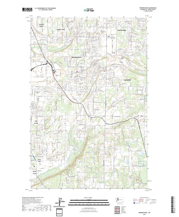 2023 Frederickson2023 Print · USGSPierce County suburban and industrial growth is captured here in the early twenty-first century. Genealogists and locals can trace the borders of Joint Base Lewis-McChord or locate Bethany Cem and Thun Field.
End of results
Showing maps 1-25 of 25
Frequently asked questions
- What are the different types of historical maps available for Eagle Ridge?
- What is the oldest map of Eagle Ridge?
- Where can I purchase historical maps of Eagle Ridge for my home or office?
- Where can I download high-res historical maps of Eagle Ridge?
- Are there historical topographic maps available for Eagle Ridge?
- Is there historical aerial imagery available for Eagle Ridge?
- Where are historical maps of Eagle Ridge sourced from?