Old Maps of Rockport, Washington for Academic Research
Study the evolution of Rockport with 11 high-resolution historic maps. Whether you're teaching, researching, or modeling changes in land use, these maps provide essential visual documentation of urban, environmental, and geographic change.
- Analyze long-term change: Track patterns in development, transportation, and natural features.
- Ideal for environmental or urban studies: Support academic projects with primary historical map data.
- Use in the classroom or lab: Educators and researchers rely on these maps to bring historical context to life.
These maps are a powerful tool for teaching, research, and visualizing how Rockport has changed over the decades.
Rockport, WA maps
(11)- 1899 Map of Stillaguamish, 1955 Print
 1899 Stillaguamish1955 Print · USGSThe North Cascades foothills at the turn of the century are defined by the rapid expansion of rail lines and mining camps. Trace the early routes of the Everett & Monte Cristo Ry and locate early settlements like Silverton, Darrington, and Granite Falls.
 - 1901 Map of Stilaguamish
 1901 Stilaguamish1901 Print · USGSThe North Cascades at the close of the nineteenth century reveal a landscape of mining camps and pioneer river settlements. Genealogists and historians can trace early families in Silverton, Darrington, and the remote Mansford Prairie.6 unique versions available
 - 1955 Map of Concrete, 1967 Print
 1955 Concrete1967 Print · USGSThe North Cascades in the mid-fifties reveal a landscape of deep glacier-fed lakes and riverside timber towns. You can trace the Great Northern rail lines through Granite Falls or locate remote outposts like Stehekin and Marblemount along the Skagit and Chelan waters.
 - 1958 Map of Concrete
 1958 Concrete1958 Print · USGSThe North Cascades and Skagit Valley are captured here in the late fifties, showing a landscape defined by glacier-carved peaks and river-bottom settlements. Genealogists and historians can locate remote mining sites like Holden Mine and mountain outposts such as Stehekin, Marblemount, and Mazama.2 unique versions available
 - 1962 Map of Concrete
 1962 Concrete1962 Print · USGSThe Northern Cascades in the early sixties reveal a landscape of high alpine peaks and deep river valleys before the modern park era. Genealogists and historians can trace rail-and-river towns like Concrete, Darrington, and Stehekin, alongside industry at the Holden Mine.
 - 1966 Map of Rockport, 1968 Print
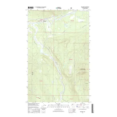
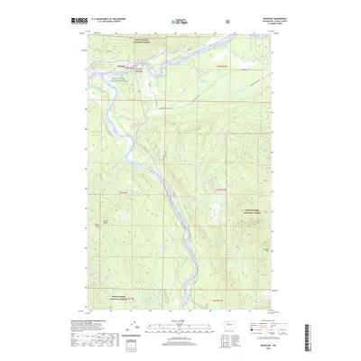
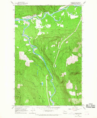 1966 Rockport1968 Print · USGSSkagit County in the mid-1960s was a landscape defined by the confluence of major rivers and the logging and ranching traditions of the North Cascades. Researchers can trace historic river access at Mc Leod Slough or locate the Cem and Hidden Valley Ranch near the town of Rockport.2 unique versions available
 - 2011 Map of Rockport, 2011 Print
 2011 Rockport2011 Print · USGSCovers Rockport, including Skagit County, United States, and other nearby areas
 - 2014 Map of Rockport, 2014 Print
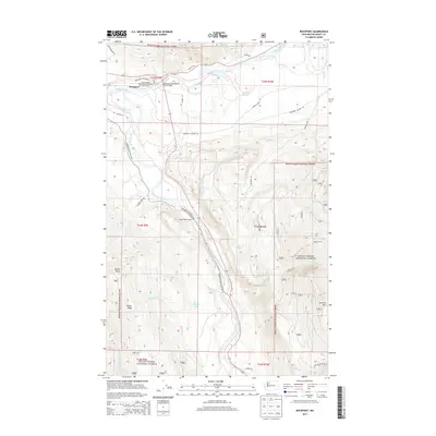 2014 Rockport2014 Print · USGSCovers Rockport, including Skagit County, United States, and other nearby areas
 - 2017 Map of Rockport, 2017 Print
 2017 Rockport2017 Print · USGSCovers Rockport, including Skagit County, United States, and other nearby areas
 - 2020 Map of Rockport, 2020 Print
 2020 Rockport2020 Print · USGSCovers Rockport, including Skagit County, United States, and other nearby areas
 - 2023 Map of Rockport, 2023 Print
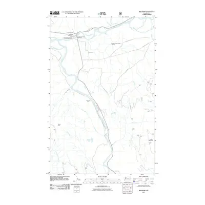
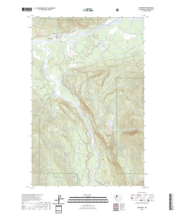 2023 Rockport2023 Print · USGSThe Skagit River valley is captured here in the early twenty-first century, showing the intersection of river conservation and mountain timberlands. Genealogists and hikers can trace old routes along Railroad Ave or locate remote landmarks like Barnaby Slough and Rinker Point.
End of results
Showing maps 1-11 of 11
Frequently asked questions
- What are the different types of historical maps available for Rockport?
- What is the oldest map of Rockport?
- Where can I purchase historical maps of Rockport for my home or office?
- Where can I download high-res historical maps of Rockport?
- Are there historical topographic maps available for Rockport?
- Is there historical aerial imagery available for Rockport?
- Where are historical maps of Rockport sourced from?