2000s (21st Century) Maps of Harborview - Seahurst - Glenhaven, Everett
Explore 10 historic maps of Harborview - Seahurst - Glenhaven from the 2000s (21st Century). These maps offer a rare glimpse into what life looked like during the 2000s — showing old roads, neighborhoods, homes, and landmarks that have changed or disappeared over time.
Whether you're researching your family's past, planning a metal detecting trip, or studying how Harborview - Seahurst - Glenhaven's landscape evolved across the 2000s, these high-resolution maps are a powerful tool for exploring the history of this region.
- Focus on a specific era: All maps on this page are from the 2000s, giving you a focused view of this time period.
- See what’s changed: Compare century-old streets, trails, and buildings to today's modern landscape using overlays and satellite layers.
- Research with precision: Use these maps for genealogy, historical research, land use analysis, or educational projects.
- View, download, or print: Maps are fully viewable online in high resolution, and can be downloaded or printed for your own records.
Start exploring Harborview - Seahurst - Glenhaven's history through authentic maps from the 2000s. This is your window into the past.
Harborview - Seahurst - Glenhaven, Everett maps
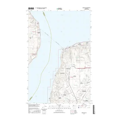
(10)- 2011 Map of Mukilteo, 2011 Print
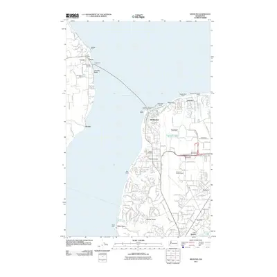 2011 Mukilteo2011 Print · USGSCovers Harborview - Seahurst - Glenhaven, including Everett, Mukilteo, and other nearby areas
 - 2011 Map of Everett, 2011 Print
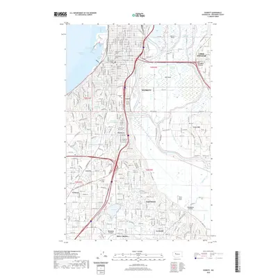
 2011 Everett2011 Print · USGSCovers Harborview - Seahurst - Glenhaven, including Everett, Lake Stevens, and other nearby areas
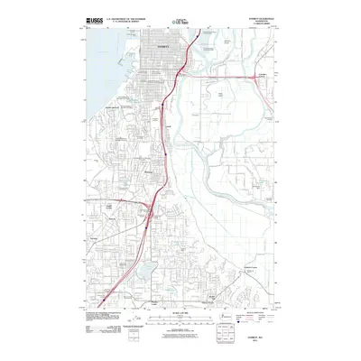
 - 2014 Map of Everett, 2014 Print
 2014 Everett2014 Print · USGSCovers Harborview - Seahurst - Glenhaven, including Everett, Lake Stevens, and other nearby areas
 - 2014 Map of Mukilteo, 2014 Print
 2014 Mukilteo2014 Print · USGSCovers Harborview - Seahurst - Glenhaven, including Everett, Mukilteo, and other nearby areas
 - 2017 Map of Everett, 2017 Print
 2017 Everett2017 Print · USGSCovers Harborview - Seahurst - Glenhaven, including Everett, Lake Stevens, and other nearby areas
 - 2017 Map of Mukilteo, 2017 Print
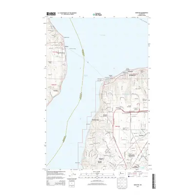
 2017 Mukilteo2017 Print · USGSCovers Harborview - Seahurst - Glenhaven, including Everett, Mukilteo, and other nearby areas
 - 2020 Map of Everett, 2020 Print
 2020 Everett2020 Print · USGSCovers Harborview - Seahurst - Glenhaven, including Everett, Lake Stevens, and other nearby areas
 - 2020 Map of Mukilteo, 2020 Print
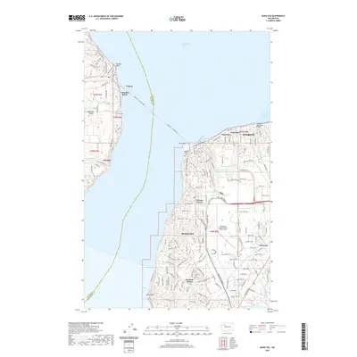 2020 Mukilteo2020 Print · USGSCovers Harborview - Seahurst - Glenhaven, including Everett, Mukilteo, and other nearby areas
 - 2023 Map of Mukilteo, 2023 Print
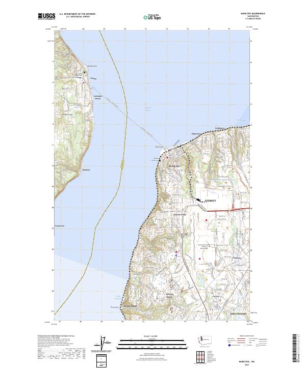 2023 Mukilteo2023 Print · USGSCoastal Snohomish County and Whidbey Island are shown in high detail during the early 2020s. Trace the iconic Mukilteo - Clinton Ferry route, the grounds of Mukilteo Pioneer Cem, and the massive airfield at Paine Field.
 - 2023 Map of Everett, 2023 Print
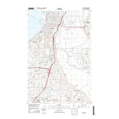
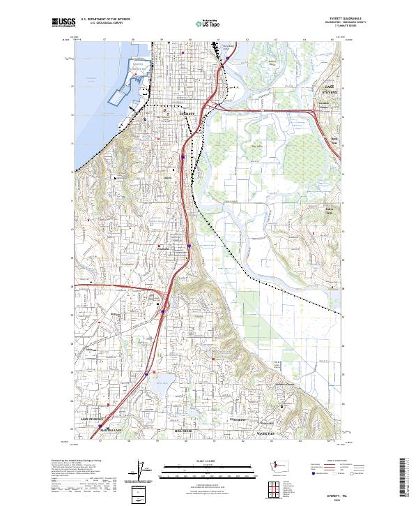 2023 Everett2023 Print · USGSThe Snohomish River delta and the urban growth of Everett are captured in this modern survey. Genealogists and local historians can trace legacy sites like Evergreen Cem, Jim & Julie's Airport, and the historic Snohomish County Courthouse.
End of results
Showing maps 1-10 of 10
Frequently asked questions
- What are the different types of historical maps available for Harborview - Seahurst - Glenhaven?
- What is the oldest map of Harborview - Seahurst - Glenhaven?
- Where can I purchase historical maps of Harborview - Seahurst - Glenhaven for my home or office?
- Where can I download high-res historical maps of Harborview - Seahurst - Glenhaven?
- Are there historical topographic maps available for Harborview - Seahurst - Glenhaven?
- Is there historical aerial imagery available for Harborview - Seahurst - Glenhaven?
- Where are historical maps of Harborview - Seahurst - Glenhaven sourced from?