Old Maps of Tumtum, Washington for Academic Research
Study the evolution of Tumtum with 11 high-resolution historic maps. Whether you're teaching, researching, or modeling changes in land use, these maps provide essential visual documentation of urban, environmental, and geographic change.
- Analyze long-term change: Track patterns in development, transportation, and natural features.
- Ideal for environmental or urban studies: Support academic projects with primary historical map data.
- Use in the classroom or lab: Educators and researchers rely on these maps to bring historical context to life.
These maps are a powerful tool for teaching, research, and visualizing how Tumtum has changed over the decades.
Tumtum, WA maps
(11)- 1944 Map of Clayton
 1944 Clayton1944 Print · USGSThe rural landscape north of Spokane is captured here just before the mid-forties, showing the vital river junctions and rail-connected settlements. Genealogists and researchers can trace local school districts and landmarks like Clayton, Haines Ranch, and the Spokane Indian Reservation.2 unique versions available
 - 1950 Map of Clayton, 1970 Print
 1950 Clayton1970 Print · USGSThe Stevens and Spokane county line in the mid-twentieth century shows a landscape of river-fed prairies and mountain peaks. Genealogists can locate family landmarks like Haines Ranch, Williams Valley Cem, and the Fort Spokane Historic Site.
 - 1955 Map of Spokane, 1965 Print
 1955 Spokane1965 Print · USGSInland Empire life in the fifties and sixties centers on the growth of Spokane and the heavy mining industry of northern Idaho. Trace mid-century landmarks like Fairchild Air Force Base, the Bunker Hill Mine, and early campuses such as Gonzaga University.2 unique versions available
 - 1958 Map of Spokane
 1958 Spokane1958 Print · USGSThe Inland Empire is shown at a mid-century peak of industrial and military activity, from the rail hubs of Spokane to the deep silver mines of northern Idaho. Researchers can trace the sprawling rail lines of the Union Pacific RR or locate landmarks like Fairchild Air Force Base and the Bunker Hill Smelter & Mine.
 - 1973 Map of Tumtum, 1977 Print
 1973 Tumtum1977 Print · USGSStevens County in the early seventies shows the rural community of Tumtum and the Spokane Indian Reservation boundary. Genealogists and hikers can locate the Tumtum Cem, the waters of Red Lake, and trails leading to Scoop Mountain.
 - 1987 Map of Spokane
 1987 Spokane1987 Print · USGSGreater Spokane and its surrounding prairies are captured in the late 1980s as the region solidified its role as a regional hub. Researchers can trace family sites near Medical Lake, military life at Fairchild Air Force Base, and rural settlements like Peone and Chattaroy.
 - 2011 Map of Tumtum, 2011 Print
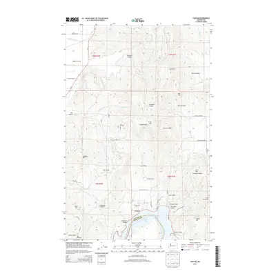
 2011 Tumtum2011 Print · USGSCovers Tumtum, including Spokane County, Stevens County, and other nearby areas
 - 2014 Map of Tumtum, 2014 Print
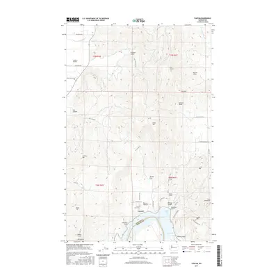
 2014 Tumtum2014 Print · USGSCovers Tumtum, including Spokane County, Stevens County, and other nearby areas
 - 2017 Map of Tumtum, 2017 Print
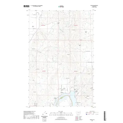
 2017 Tumtum2017 Print · USGSCovers Tumtum, including Spokane County, Stevens County, and other nearby areas
 - 2020 Map of Tumtum, 2020 Print
 2020 Tumtum2020 Print · USGSCovers Tumtum, including Spokane County, Stevens County, and other nearby areas
 - 2023 Map of Tumtum, 2023 Print
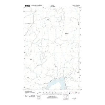
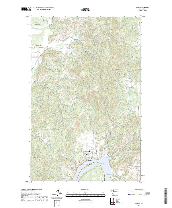 2023 Tumtum2023 Print · USGSThe northern reaches of Long Lake and the surrounding valleys of Stevens County come into focus in this contemporary study. Genealogists and local historians can locate the Old Scotts Valley Cemetery and trace the landscape from Walkers Prairie to the shores of Sunset Bay.
End of results
Showing maps 1-11 of 11
Top cities near Tumtum
- Spokane historical maps
- Airway Heights historical maps
- Deer Park historical maps
- Reardan historical maps
- Springdale historical maps
Frequently asked questions
- What are the different types of historical maps available for Tumtum?
- What is the oldest map of Tumtum?
- Where can I purchase historical maps of Tumtum for my home or office?
- Where can I download high-res historical maps of Tumtum?
- Are there historical topographic maps available for Tumtum?
- Is there historical aerial imagery available for Tumtum?
- Where are historical maps of Tumtum sourced from?