Old Maps of Reese, Washington for Metal Detecting
Plan your next treasure hunt with 12 historic maps of Reese. Find old homesites, ghost towns, trails, and gathering spots that may be lost to time — perfect for identifying promising metal detecting locations.
- Locate forgotten sites: Uncover places like long-lost settlements, abandoned rail lines, or gathering spots.
- Plan better hunts: Use map overlays combined with LiDAR or satellite views to narrow in on historically rich areas.
- Made for detectorists: Thousands of hobbyists use these maps to discover relics, coins, and hidden history.
Use these historic maps to boost your research and find new opportunities beneath the surface of Reese.
Reese, WA maps
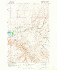
(12)- 1915 Map of Wallulah
 1915 Wallulah1915 Print · USGSThe convergence of the Snake and Columbia rivers in the mid-1910s reveals a landscape defined by steam power and irrigation. Genealogists and rail historians can trace early settlements like Attalia and Two Rivers alongside the path of the Oregon-Washington RR & Nav Co.
 - 1918 Map of Wallula, 1942 Print
 1918 Wallula1942 Print · USGSThe river-and-rail hubs of the Walla Walla Valley are captured here as they appeared between the world wars. Researchers can trace the path of the Wallula Ferry, locate early country schools like Frog Hallow School, and follow the complex rail lines through Eureka.2 unique versions available
 - 1953 Map of Walla Walla, 1964 Print
 1953 Walla Walla1964 Print · USGSSoutheast Washington enters the atomic and hydroelectric age in the mid-twentieth century as new dams reshape the desert landscape. You can trace the development of the Hanford Works, identify remote rail stops like Novara Siding, and locate the historic Dry Creek Cem.3 unique versions available
 - 1958 Map of Walla Walla
 1958 Walla Walla1958 Print · USGSThe Tri-Cities and Walla Walla region are captured here during the mid-century expansion of atomic energy and river infrastructure. Genealogists and historians can trace the early layout of Richland (AEC), the rural Hatton and Washtucna settlements, and landmarks like Palouse Falls State Park.
 - 1964 Map of Zangar Junction, 1965 Print
 1964 Zangar Junction1965 Print · USGSThe Walla Walla River valley at the Washington-Oregon border was a vital transport corridor in the 1960s. Researchers can trace the intersection of the Union Pacific and Northern Pacific at Zangar Junction or locate water sources like Warm Springs.3 unique versions available
 - 1980 Map of Walla Walla
 1980 Walla Walla1980 Print · USGSThe Walla Walla Valley in the early eighties shows a landscape of deep-rooted agriculture and massive hydroelectric development. Researchers can trace the rail junctions at Wallula Junction, visit the historic Fort Walla Walla, or locate old landmarks like the Mountain View Cem.2 unique versions available
 - 1991 Map of Zangar Junction, 1992 Print
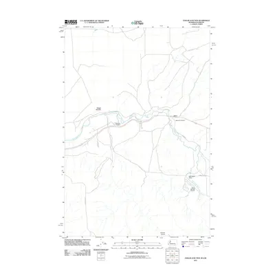
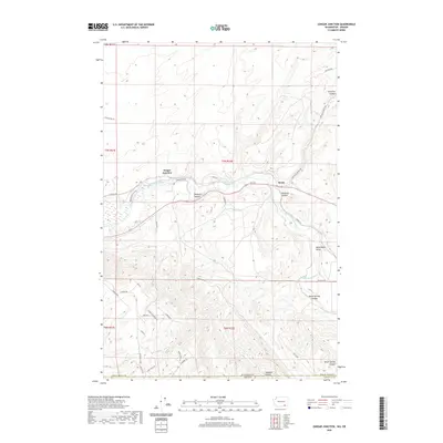
 1991 Zangar Junction1992 Print · USGSThe Walla Walla River valley at the Washington-Oregon border is captured here in the early nineties, showing a landscape of essential rural infrastructure. Trace the early layout of Zangar Junction near its Landing Strip or locate local landmarks like Reese and Cummins Bridge Rd.
 - 2011 Map of Zangar Junction, 2011 Print
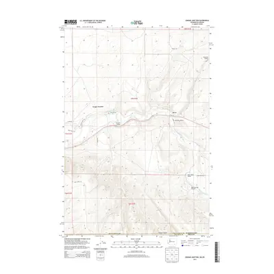
 2011 Zangar Junction2011 Print · USGSCovers Reese, including Zangar Junction, Umatilla County, and other nearby areas
 - 2014 Map of Zangar Junction, 2014 Print
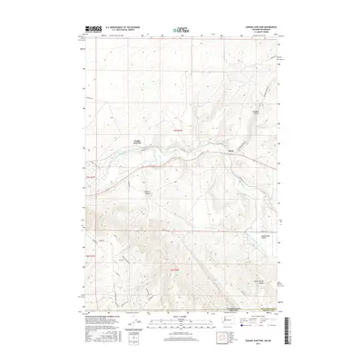
 2014 Zangar Junction2014 Print · USGSCovers Reese, including Zangar Junction, Umatilla County, and other nearby areas
 - 2017 Map of Zangar Junction, 2017 Print
 2017 Zangar Junction2017 Print · USGSCovers Reese, including Zangar Junction, Umatilla County, and other nearby areas
 - 2020 Map of Zangar Junction, 2020 Print
 2020 Zangar Junction2020 Print · USGSCovers Reese, including Zangar Junction, Umatilla County, and other nearby areas
 - 2023 Map of Zangar Junction, 2023 Print
 2023 Zangar Junction2023 Print · USGSThe Walla Walla Valley at the Washington and Oregon border is shown in this contemporary study of river bottomlands and high bluffs. Trace the landscape from the Mcnary National Wildlife Refuge to the steep heights of Vansycle Bluff and the settlement of Zangar Junction.
End of results
Showing maps 1-12 of 12
Top cities near Reese
Frequently asked questions
- What are the different types of historical maps available for Reese?
- What is the oldest map of Reese?
- Where can I purchase historical maps of Reese for my home or office?
- Where can I download high-res historical maps of Reese?
- Are there historical topographic maps available for Reese?
- Is there historical aerial imagery available for Reese?
- Where are historical maps of Reese sourced from?