2000s (21st Century) Maps of Sumas, Washington
Explore 9 historic maps of Sumas from the 2000s (21st Century). These maps offer a rare glimpse into what life looked like during the 2000s — showing old roads, neighborhoods, homes, and landmarks that have changed or disappeared over time.
Whether you're researching your family's past, planning a metal detecting trip, or studying how Sumas's landscape evolved across the 2000s, these high-resolution maps are a powerful tool for exploring the history of this region.
- Focus on a specific era: All maps on this page are from the 2000s, giving you a focused view of this time period.
- See what’s changed: Compare century-old streets, trails, and buildings to today's modern landscape using overlays and satellite layers.
- Research with precision: Use these maps for genealogy, historical research, land use analysis, or educational projects.
- View, download, or print: Maps are fully viewable online in high resolution, and can be downloaded or printed for your own records.
Start exploring Sumas's history through authentic maps from the 2000s. This is your window into the past.
Sumas, WA maps
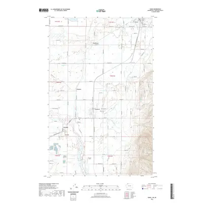
(9)- 2011 Map of Sumas, 2011 Print
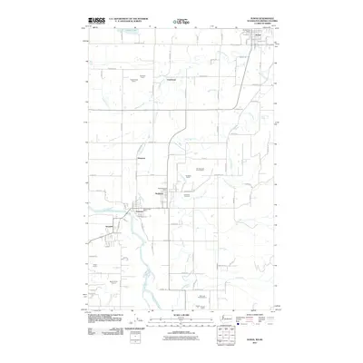 2011 Sumas2011 Print · USGSCovers Sumas, including Clearbrook, Everson, and other nearby areas
 - 2014 Map of Sumas OE N, 2014 Print
 2014 Sumas OE N2014 Print · USGSCovers Sumas, including Abbotsford, Mission, and other nearby areas
 - 2014 Map of Sumas, 2014 Print
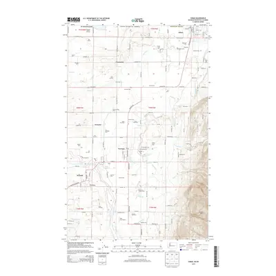 2014 Sumas2014 Print · USGSCovers Sumas, including Clearbrook, Everson, and other nearby areas
 - 2017 Map of Sumas, 2017 Print
 2017 Sumas2017 Print · USGSCovers Sumas, including Clearbrook, Everson, and other nearby areas
 - 2017 Map of Sumas OE N, 2017 Print
 2017 Sumas OE N2017 Print · USGSCovers Sumas, including Abbotsford, Mission, and other nearby areas
 - 2020 Map of Sumas OE N, 2020 Print
 2020 Sumas OE N2020 Print · USGSCovers Sumas, including Abbotsford, Mission, and other nearby areas
 - 2020 Map of Sumas, 2020 Print
 2020 Sumas2020 Print · USGSCovers Sumas, including Clearbrook, Everson, and other nearby areas
 - 2023 Map of Sumas, 2023 Print
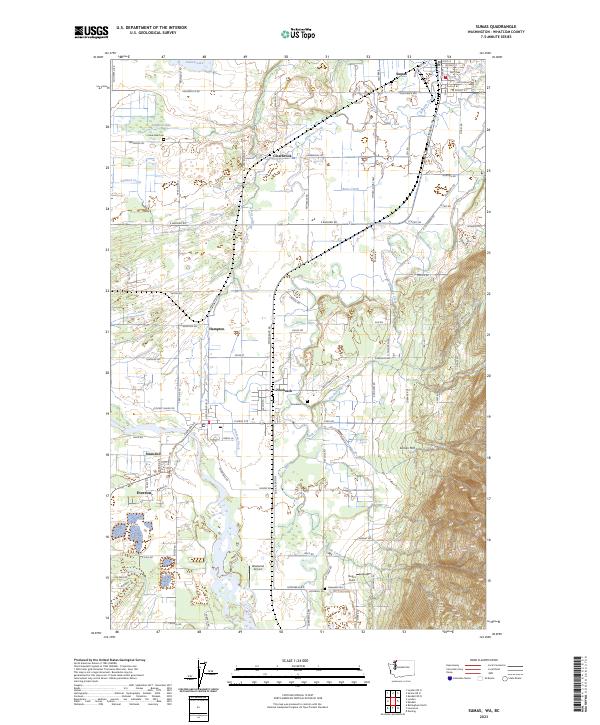 2023 Sumas2023 Print · USGSThe border country of Whatcom County comes into focus in this recent survey of the river valleys and mountain foothills. Researchers can trace family history through sites like Lake Side Cem and Nooksack Cem or locate old crossings at Clearbrook and Strandell.
 - 2023 Map of Sumas OE N, 2023 Print
 2023 Sumas OE N2023 Print · USGSThe international boundary near Sumas comes into focus in this contemporary survey of the Whatcom County borderlands. Researchers can trace local land divisions and rural infrastructure along Van Buren Rd and the waters of Judson Lake.
End of results
Showing maps 1-9 of 9
Top cities near Sumas
Frequently asked questions
- What are the different types of historical maps available for Sumas?
- What is the oldest map of Sumas?
- Where can I purchase historical maps of Sumas for my home or office?
- Where can I download high-res historical maps of Sumas?
- Are there historical topographic maps available for Sumas?
- Is there historical aerial imagery available for Sumas?
- Where are historical maps of Sumas sourced from?