Old Maps of Oak Hill, West Virginia
Explore 29 old maps of Oak Hill, spanning from 1891 to today. These high-resolution historic maps reveal how streets, neighborhoods, landmarks, and natural features evolved over time — perfect for genealogy, metal detecting, research, and local history exploration.
What you can do with these maps:
- See how Oak Hill changed over time: Compare historical maps to modern-day views to trace roads, homesites, rail lines & more.
- View detailed metadata: Each map includes creators, publishers, year, scale, and archive source.
- Overlay maps with satellite & LiDAR: Visualize the past alongside modern tools to explore terrain & human change.
- Trusted historical sources: Maps sourced from the USGS, Library of Congress, and other archives.
- Access maps your way: View online, download high-res files, or order prints for personal or research use.
Start exploring old maps of Oak Hill to uncover forgotten places, hidden landmarks, and the deep history beneath your feet.
Oak Hill, WV maps
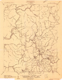
(29)- 1891 Map of Raleigh
 1891 Raleigh1891 Print · USGSCovers Oak Hill, including Beckley, Mullens, and other nearby areas
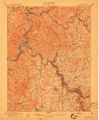
 - 1897 Map of Kanawha Falls
 1897 Kanawha Falls1897 Print · USGSCovers Oak Hill, including Fayetteville, Montgomery, and other nearby areas
 - 1897 Map of Raleigh
 1897 Raleigh1897 Print · USGSCovers Oak Hill, including Beckley, Mullens, and other nearby areas
 - 1900 Map of Kanawha Falls
 1900 Kanawha Falls1900 Print · USGSCovers Oak Hill, including Fayetteville, Montgomery, and other nearby areas
 - 1901 Map of Kanawha Falls
 1901 Kanawha Falls1901 Print · USGSCovers Oak Hill, including Fayetteville, Montgomery, and other nearby areas3 unique versions available
 - 1902 Map of Raleigh
 1902 Raleigh1902 Print · USGSCovers Oak Hill, including Beckley, Mullens, and other nearby areas3 unique versions available
 - 1908 Map of Fayetteville
 1908 Fayetteville1908 Print · USGSCovers Oak Hill, including Fayetteville, Ansted, and other nearby areas
 - 1910 Map of Fayetteville
 1910 Fayetteville1910 Print · USGSCovers Oak Hill, including Fayetteville, Ansted, and other nearby areas4 unique versions available
 - 1911 Map of Beckley
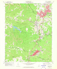
 1911 Beckley1911 Print · USGSCovers Oak Hill, including Beckley, Mount Hope, and other nearby areas
 - 1913 Map of Beckley
 1913 Beckley1913 Print · USGSCovers Oak Hill, including Beckley, Mount Hope, and other nearby areas3 unique versions available
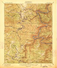
 - 1928 Map of Fayetteville, 1955 Print
 1928 Fayetteville1955 Print · USGSCovers Oak Hill, including Fayetteville, Ansted, and other nearby areas4 unique versions available
 - 1929 Map of Beckley, 1954 Print
 1929 Beckley1954 Print · USGSCovers Oak Hill, including Beckley, Mount Hope, and other nearby areas2 unique versions available
 - 1931 Map of Fayetteville
 1931 Fayetteville1931 Print · USGSCovers Oak Hill, including Fayetteville, Ansted, and other nearby areas3 unique versions available
 - 1932 Map of Beckley
 1932 Beckley1932 Print · USGSCovers Oak Hill, including Beckley, Mount Hope, and other nearby areas2 unique versions available
 - 1954 Map of Charleston
 1954 Charleston1954 Print · USGSCovers Oak Hill, including Charleston, Teays Valley, and other nearby areas
 - 1955 Map of Bluefield
 1955 Bluefield1955 Print · USGSCovers Oak Hill, including Blacksburg, Salem, and other nearby areas
 - 1957 Map of Charleston, 1966 Print
 1957 Charleston1966 Print · USGSCovers Oak Hill, including Charleston, Teays Valley, and other nearby areas3 unique versions available
 - 1957 Map of Bluefield, 1967 Print
 1957 Bluefield1967 Print · USGSCovers Oak Hill, including Blacksburg, Salem, and other nearby areas2 unique versions available
 - 1958 Map of Charleston
 1958 Charleston1958 Print · USGSCovers Oak Hill, including Charleston, Teays Valley, and other nearby areas
 - 1961 Map of Charleston
 1961 Charleston1961 Print · USGSCovers Oak Hill, including Charleston, Teays Valley, and other nearby areas
 - 1961 Map of Bluefield
 1961 Bluefield1961 Print · USGSCovers Oak Hill, including Blacksburg, Salem, and other nearby areas
 - 1969 Map of Fayetteville, 1972 Print
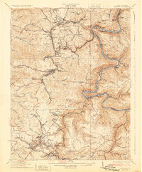
 1969 Fayetteville1972 Print · USGSCovers Oak Hill, including Fayetteville, Ansted, and other nearby areas3 unique versions available
 - 1969 Map of Beckwith, 1972 Print
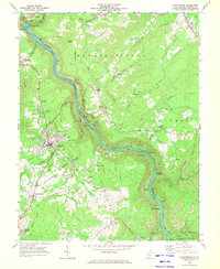
 1969 Beckwith1972 Print · USGSCovers Oak Hill, including Fayetteville, Ansted, and other nearby areas2 unique versions available
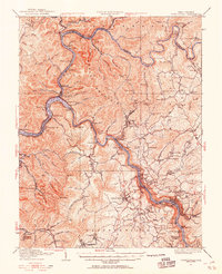
 - 1969 Map of Oak Hill, 1973 Print
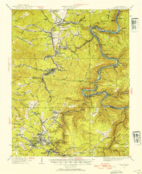
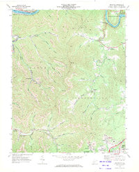
 1969 Oak Hill1973 Print · USGSCovers Oak Hill, including Mount Hope, Redstar, and other nearby areas3 unique versions available
 - 1969 Map of Thurmond, 1973 Print
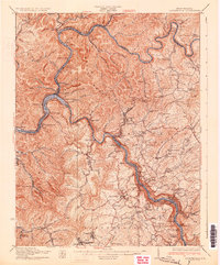
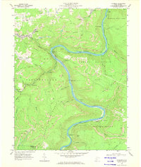 1969 Thurmond1973 Print · USGSCovers Oak Hill, including Thurmond, Meadow Fork, and other nearby areas3 unique versions available
Showing maps 1-25 of 29
Top cities near Oak Hill
- Beckley historical maps
- Fayetteville historical maps
- Montgomery historical maps
- Ansted historical maps
- Mount Hope historical maps
- Mabscott historical maps
See more
Top neighborhoods of Oak Hill
- Minden historical maps
- Harlem Heights historical maps
- East Oak Hill historical maps
- Ogden historical maps
- Rocklick historical maps
- Rosedale historical maps
Frequently asked questions
- What are the different types of historical maps available for Oak Hill?
- What is the oldest map of Oak Hill?
- Where can I purchase historical maps of Oak Hill for my home or office?
- Where can I download high-res historical maps of Oak Hill?
- Are there historical topographic maps available for Oak Hill?
- Is there historical aerial imagery available for Oak Hill?
- Where are historical maps of Oak Hill sourced from?