Old Maps of Ansted, West Virginia
Explore 37 old maps of Ansted, spanning from 1897 to today. These high-resolution historic maps reveal how streets, neighborhoods, landmarks, and natural features evolved over time — perfect for genealogy, metal detecting, research, and local history exploration.
What you can do with these maps:
- See how Ansted changed over time: Compare historical maps to modern-day views to trace roads, homesites, rail lines & more.
- View detailed metadata: Each map includes creators, publishers, year, scale, and archive source.
- Overlay maps with satellite & LiDAR: Visualize the past alongside modern tools to explore terrain & human change.
- Trusted historical sources: Maps sourced from the USGS, Library of Congress, and other archives.
- Access maps your way: View online, download high-res files, or order prints for personal or research use.
Start exploring old maps of Ansted to uncover forgotten places, hidden landmarks, and the deep history beneath your feet.
Ansted, WV maps
(37)- 1897 Map of Kanawha Falls
 1897 Kanawha Falls1897 Print · USGSWest Virginia's river valleys and burgeoning industrial corridors are captured here in the late nineteenth century. You can trace the early rail networks and riverside settlements such as Montgomery, Clendenin, and the river engineering at Lock 2.
 - 1900 Map of Kanawha Falls
 1900 Kanawha Falls1900 Print · USGSThe Kanawha and Elk rivers converge here at the turn of the century as the coal and rail industries were rapidly transforming the West Virginia landscape. Genealogists and historians can trace riverside settlements like Montgomery and Coalburg or follow the paths of the Chesapeake and Ohio RR and early river navigation at Lock 2.
 - 1901 Map of Kanawha Falls
 1901 Kanawha Falls1901 Print · USGSWest Virginia's coal and rail heartland is captured here at the end of the nineteenth century, as river navigation and railroads transformed the Kanawha Valley. Genealogists and historians can trace the early footprints of Montgomery, find family sites near Kanawha Falls, and locate landmarks like Hawks Nest or Powellton.3 unique versions available
 - 1908 Map of Fayetteville
 1908 Fayetteville1908 Print · USGSFayette County was at the heart of the coal and rail boom when this survey was conducted. Researchers can trace the early industrial footprint of the Chesapeake and Ohio Railroad through settlements like Ansted, Gauley Bridge, and Kanawha Falls.
 - 1910 Map of Fayetteville
 1910 Fayetteville1910 Print · USGSThe West Virginia coalfields were in full operation when this survey was conducted, showing the dense rail networks along the Gauley River. Local historians can trace family-named sites and industrial hamlets like Nuttallburg, Gauley Bridge, and Kaymoor.4 unique versions available
 - 1928 Map of Fayetteville, 1955 Print
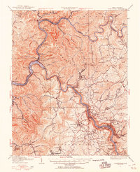 1928 Fayetteville1955 Print · USGSFayette County was a hub of river-and-rail activity in the late twenties as the coal industry matured. Genealogists and historians can locate old landmarks like Kanawha Falls, the Blue Hole Tunnel, and rural centers such as Ansted and Gauley Bridge.4 unique versions available
 - 1931 Map of Fayetteville
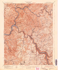 1931 Fayetteville1931 Print · USGSThe convergence of the New and Gauley rivers at the start of the 1930s reveals a bustling rail and coal corridor. Trace the path of the New York Central Railroad through mountain hamlets like Gauley Bridge, Nuttallburg, and South Caperton.3 unique versions available
 - 1954 Map of Charleston
 1954 Charleston1954 Print · USGSWest Virginia’s industrial heart and mountain highlands are captured here during the mid-fifties, centered on the capital city. Researchers can trace historic river-and-rail corridors along the Kanawha River and locate remote peaks within the Monongahela National Forest.
 - 1957 Map of Charleston, 1966 Print
 1957 Charleston1966 Print · USGSMid-century West Virginia unfolds along the industrial Kanawha River valley and into the high Allegheny Mountains. Genealogists and historians can trace the vital rail lines of the Chesapeake and Ohio and locate riverside settlements from Saint Albans to Buckhannon.3 unique versions available
 - 1958 Map of Charleston
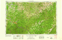 1958 Charleston1958 Print · USGSMid-century West Virginia is defined here by the industrial corridor of the Kanawha River and the high ridges of the Allegheny Mountains. Researchers can trace the rail networks of the New York Central or locate remote highland communities like Pickens and Hillsboro.
 - 1961 Map of Charleston
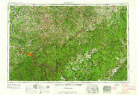 1961 Charleston1961 Print · USGSWest Virginia's capital region and the highlands to the east are shown in detail during the early sixties. Genealogists and historians can trace rail networks like the Baltimore and Ohio RR and find early state parks such as Watoga State Park.
 - 1969 Map of Fayetteville, 1972 Print
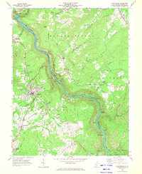 1969 Fayetteville1972 Print · USGSThe New River Gorge area is documented here during the late sixties, showcasing a landscape defined by deep-canyon industry and plateau settlements. Researchers can trace the legacy of coal at Kaymoor No 1 or locate family sites at Huse Memorial Cem and Altamont Sch.3 unique versions available
 - 1969 Map of Beckwith, 1972 Print
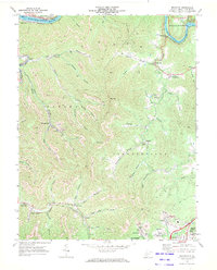 1969 Beckwith1972 Print · USGSFayette County was at its industrial peak in the late sixties, where coal mining and rail transport defined every valley. Genealogists and local historians can trace family-named sites and vanished industrial works from Beards Fork to the Harlem Heights Drive-in Theater and Lochgelly.2 unique versions available
 - 1969 Map of Ansted, 1973 Print
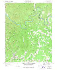 1969 Ansted1973 Print · USGSThe coal and gas country of Fayette County comes to life in the late sixties, where the winding Gauley River meets the heavy rail of the Penn Central. Trace family roots through Ansted and smaller settlements like Victor or find local landmarks like Arnette Chapel and the Gauley Mtn Lookout Tower.2 unique versions available
 - 1969 Map of Gauley Bridge, 1973 Print
 1969 Gauley Bridge1973 Print · USGSIn the late 1960s, the confluence of the Gauley and New Rivers served as a vital industrial artery for West Virginia's rail and coal sectors. Researchers can pinpoint long-standing landmarks like Bailey Memorial Ch, trace the Penn Central tracks, and locate sites like K & M Junction and Glen Ferris.3 unique versions available
 - 1984 Map of Charleston
 1984 Charleston1984 Print · USGSWest Virginia's capital and the industrial Kanawha Valley are shown here in the mid-eighties as modern interstates began to reshape the region. Local researchers can locate family-named landmarks like Reamer (Sybial PO) and institutional anchors like West Virginia State College.2 unique versions available
 - 2000 Map of Ansted, 2001 Print
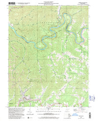 2000 Ansted2001 Print · USGSFayette and Nicholas counties at the start of the millennium show a landscape of deep river gorges and upland mining operations. Researchers can locate family landmarks such as Restlawn Memory Gardens, Mt Eary Ch, and the old settlement at Victor.
 - 2011 Map of Beckwith, 2011 Print
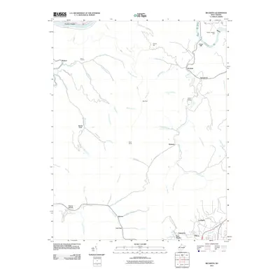 2011 Beckwith2011 Print · USGSFayette County coal and rail communities are captured here in the early twenty-first century, showcasing the tight relationship between the terrain and local settlement. Genealogists and historians can trace the Norfolk and Western Railway line connecting Lochgelly, Summerlee, and Beards Fork.
 - 2011 Map of Fayetteville, 2011 Print
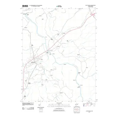 2011 Fayetteville2011 Print · USGSThe New River Gorge area comes into focus during the early twenty-first century as industrial history and modern landmarks converge. Trace family roots at Huse Memorial Cemetery or explore the rail-and-river economy near Kaymoor Number 1 and the New River Gorge Bridge.
 - 2011 Map of Ansted, 2011 Print
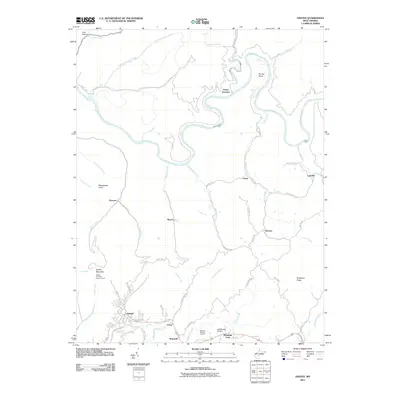 2011 Ansted2011 Print · USGSFayette County in the early 21st century remains a landscape of deep river gorges and high plateau settlements south of the Gauley River. Researchers can trace local landmarks like the Gauley Mountain Lookout Tower, Restlawn Memory Gardens, and the small community of Victor.
 - 2011 Map of Gauley Bridge, 2011 Print
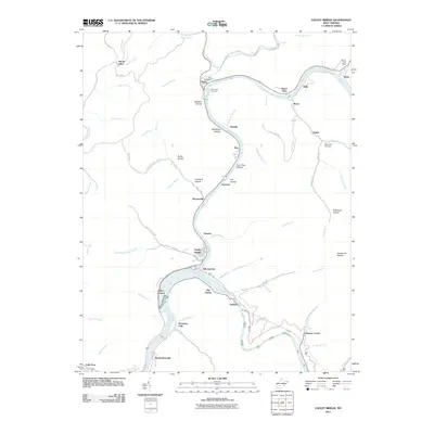 2011 Gauley Bridge2011 Print · USGSNear the confluence of the New and Gauley rivers in the early twenty-first century, this map shows a landscape shaped by water and rail. You can trace family roots at Hill Cemetery or locate old industrial and post sites like the Swiss Post Office and Glen Ferris.
 - 2014 Map of Fayetteville, 2014 Print
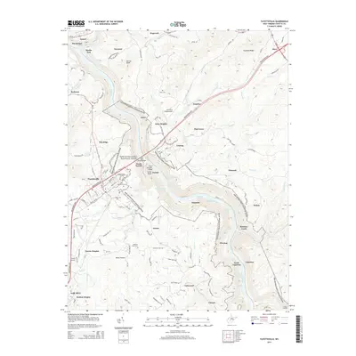 2014 Fayetteville2014 Print · USGSFayette County’s dramatic river geography is captured here in the early twenty-first century, centered on the deep canyon of the New River Gorge. Genealogists and historians can trace local family landmarks and communities like Fayetteville, Ansted, and the Huse Memorial Cem.
 - 2014 Map of Beckwith, 2014 Print
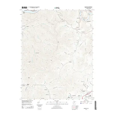 2014 Beckwith2014 Print · USGSThe West Virginia coal and river country near Fayetteville is documented here in the early twenty-first century. Researchers can trace family history at John Nugen Cemetery or follow the rail lines through Cokeoven Hollow and Ingram Branch.
 - 2014 Map of Gauley Bridge, 2014 Print
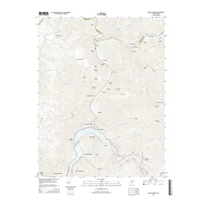 2014 Gauley Bridge2014 Print · USGSFayette and Nicholas counties are shown in detail at the 2014 confluence of the Gauley and Kanawha rivers. Genealogists and local historians can trace family burial sites like Abbott Huddleston Cem and explore the hollows around Gauley Bridge and Ansted.
 - 2014 Map of Ansted, 2014 Print
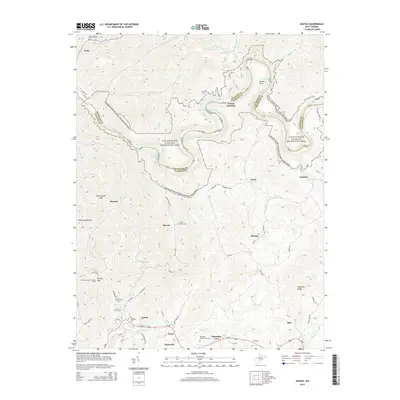 2014 Ansted2014 Print · USGSFayette County's high plateaus meet the white water of the Gauley River in the early twenty-first century. Researchers can trace family sites at Westlake Cem and Mt Chapel Cem or locate former rail stops like Peters Junction.
Showing maps 1-25 of 37
Top cities near Ansted
- Oak Hill historical maps
- Fayetteville historical maps
- Montgomery historical maps
- Mount Hope historical maps
- Gauley Bridge historical maps
- Boomer historical maps
See more
Frequently asked questions
- What are the different types of historical maps available for Ansted?
- What is the oldest map of Ansted?
- Where can I purchase historical maps of Ansted for my home or office?
- Where can I download high-res historical maps of Ansted?
- Are there historical topographic maps available for Ansted?
- Is there historical aerial imagery available for Ansted?
- Where are historical maps of Ansted sourced from?