
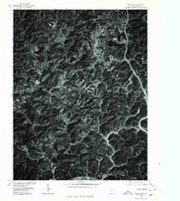
1897 Map of Kanawha Falls
USGS Topo · Published 1897About this map
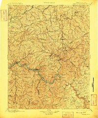
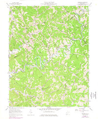
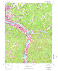
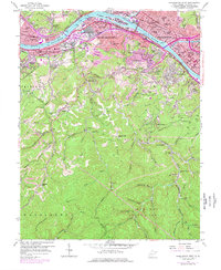
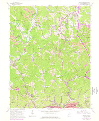
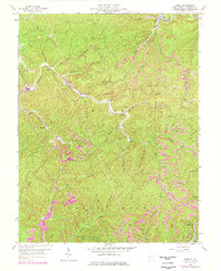
The Kanawha River and Gauley River converge at the heart of this 1895 survey, a region defined by its narrow river valleys and the early expansion of the coal-carrying rail lines. Along the riverbanks, industrial settlements like Montgomery, Cedar Grove, and Cannelton are already established hubs, while the heights above are marked by prominent landmarks such as Hawks Nest and Mt. Desert. This era shows the river's vital role in transportation before modern highways, evidenced by the infrastructure of Lock 2 and Lock 3. To the north, the Elk River carves a winding path through the hills toward Clendenin, providing a stark contrast to the concentrated rail activity of the south. Researchers will find a network of named hollows and ridges, from Johnson Knob to Longs Ridge, documenting the late 19th-century landscape of West Virginia's coal and timber country.
Find a feature on this map
112 named features on this map. Tap any name to fly to it.
Don’t see what you’re looking for? This feature index may not catch every label — zoom into the map to look around manually.
Map Details
Editions of this 1897 Kanawha Falls Map
This is the sole edition of this map. No revisions or reprints were ever made.
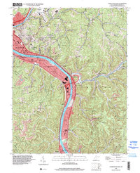
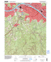
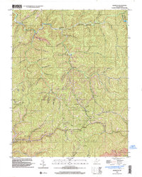
Historical Maps of Oak Hill Through Time
27 maps found
1897 Kanawha Falls
Kanawha County, WV

1900 Kanawha Falls
Kanawha County, WV
1901 Kanawha Falls
Kanawha County, WV
1957 Blue Creek
Kanawha County, WV
1957 Charleston East
Kanawha County, WV
1957 Mammoth
Kanawha County, WV
1957 Romance
Kanawha County, WV
1958 Charleston East
Kanawha County, WV
1958 Charleston West
Kanawha County, WV
1958 Pocatalico
Kanawha County, WV
1958 Quick
Kanawha County, WV
1977 Blue Creek
Kanawha County, WV
1977 Charleston East
Kanawha County, WV
1977 Charleston West
Kanawha County, WV
1977 Pocatalico
Kanawha County, WV

1994 Pocatalico
Kanawha County, WV
1996 Charleston East
Kanawha County, WV
1996 Charleston West
Kanawha County, WV
1996 Mammoth
Kanawha County, WV
2000 Quick
Kanawha County, WV
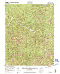
2023 Blue Creek
Kanawha County, WV
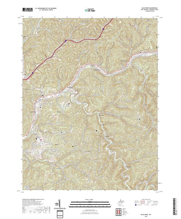
2023 Charleston East
Kanawha County, WV
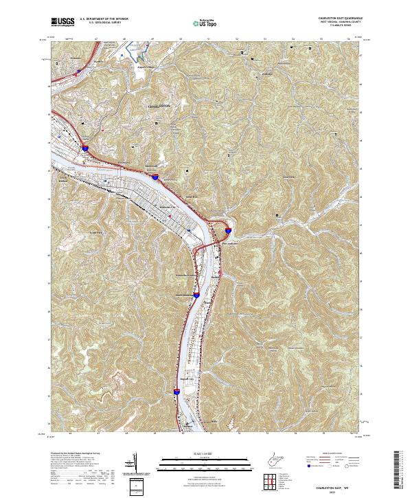
2023 Charleston West
Kanawha County, WV
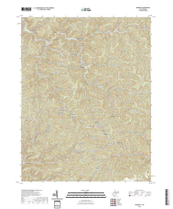
2023 Mammoth
Kanawha County, WV
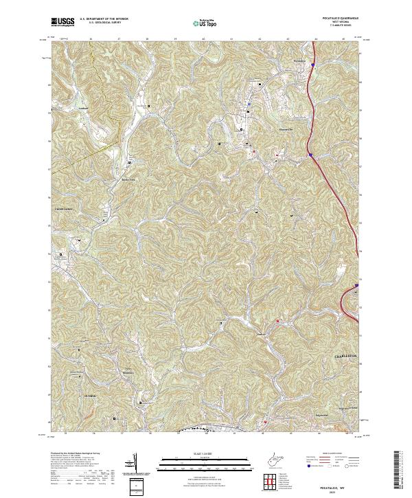
2023 Pocatalico
Kanawha County, WV
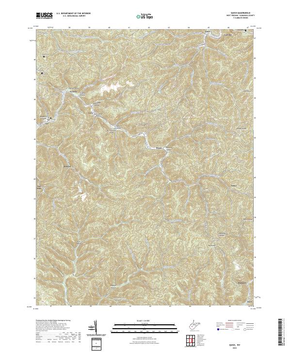
2023 Quick
Kanawha County, WV
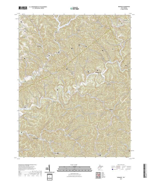
2023 Romance
Kanawha County, WV