
1898 Map of Oceana
USGS Topo · Published 1898About this map
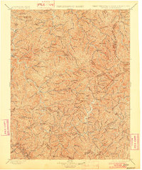
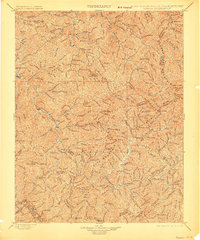
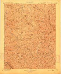
Oceana and Pineville anchor this 1890s survey of southern West Virginia, illustrating a landscape of tight hollows and high ridges before the widespread industrialization of the region. The map captures the Guyandotte River watershed and the headwaters of the Coal River during a period of small, scattered settlements like Cyclone, Christian, and Baileysville. It is a world organized by water and high terrain, where travel relied on gaps such as Hazy Gap, Walnut Gap, and Twisted Gun Gap.
Find a feature on this map
162 named features on this map. Tap any name to fly to it.
Don’t see what you’re looking for? This feature index may not catch every label — zoom into the map to look around manually.
Map Details
Editions of this 1898 Oceana Map
4 editions found
Other maps of this area

1886 · Grundy
USGS Topo · 1:125,000

1887 · Warfield
USGS Topo · 1:125,000

1887 · Pocahontas
USGS Topo · 1:125,000

1890 · Grundy
USGS Topo · 1:125,000

1891 · Tazewell
USGS Topo · 1:125,000

1891 · Pocahontas
USGS Topo · 1:125,000

1891 · Oceana
USGS Topo · 1:125,000

1891 · Raleigh
USGS Topo · 1:125,000

1891 · Warfield
USGS Topo · 1:125,000

1892 · Grundy
USGS Topo · 1:125,000