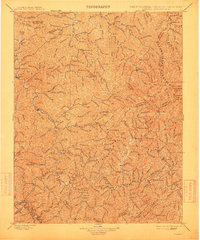
1898 Map of Oceana
USGS Topo · Published 1912About this map
Oceana and Logan serve as key hubs in this late nineteenth-century portrait of southern West Virginia, surveyed just as the regional timber and coal economies were intensifying. The landscape is defined by the convergence of the Coal River and the winding Guyandotte, where early settlements like Gilbert, Christian, and Baileysville grew along the narrow bottomlands. Prominent ridgelines such as Huff Mountain and Cherry Pond Mountain dictated the movement of goods and people, marked by strategic crossings like Twisted Gun Gap and Hazy Gap. This record captures a network of small family-named hollows and creek-side communities including Robinette, Cyclone, and Stafford before the arrival of modern highways. Notable landmarks like Burning Rock and Godby Knob stand out as fixed points in a terrain where political boundaries, such as the Mingo Co and Wyoming Co lines, follow the natural crests of the high ridges.
Find a feature on this map
172 named features on this map. Tap any name to fly to it.
Don’t see what you’re looking for? This feature index may not catch every label — zoom into the map to look around manually.
Map Details
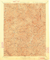
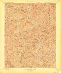
Editions of this 1898 Oceana Map
4 editions found

Other maps of this area

1886 · Grundy
USGS Topo · 1:125,000

1887 · Warfield
USGS Topo · 1:125,000

1887 · Pocahontas
USGS Topo · 1:125,000

1890 · Grundy
USGS Topo · 1:125,000

1891 · Tazewell
USGS Topo · 1:125,000

1891 · Pocahontas
USGS Topo · 1:125,000

1891 · Oceana
USGS Topo · 1:125,000

1891 · Raleigh
USGS Topo · 1:125,000

1891 · Warfield
USGS Topo · 1:125,000

1892 · Grundy
USGS Topo · 1:125,000