Old Maps of Lundale, Amherstdale-Robinette for Hiking & Exploration
Hike through history with 18 historic maps of Lundale. Explore old trails, ghost towns, and forgotten backroads — perfect for outdoor adventurers and local explorers.
- Rediscover forgotten places: Map out old mining camps, roads, and footpaths that no longer exist on modern maps.
- Layer with modern tools: Combine with LiDAR or satellite views to plan hikes through historical terrain.
- Made for exploration: Popular among hikers, overlanders, and local history lovers.
Use these maps to find adventure and explore the hidden past of Lundale.
Lundale, Amherstdale-Robinette maps
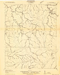
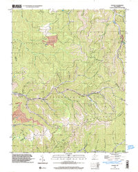
(18)- 1891 Map of Oceana
 1891 Oceana1891 Print · USGSSouthern West Virginia in the late nineteenth century was a world of deep valleys and isolated mountain settlements. Genealogists and historians can trace early family sites along the Guyandotte River near Oceana, Logan C.H., and Whites Mills.
 - 1893 Map of Oceana
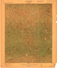
 1893 Oceana1893 Print · USGSSouthern West Virginia’s rugged coal country is captured here in the late nineteenth century, showing a landscape of deep hollows and high ridges. Researchers can trace ancestral homes and early industry at Logan C.H., Whites Mills, and Jarrold's Valley.
 - 1898 Map of Oceana
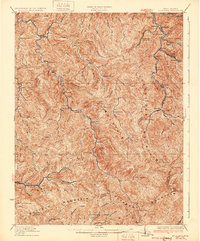
 1898 Oceana1898 Print · USGSSouthern West Virginia in the late nineteenth century remains a landscape of isolated mountain settlements and complex river drainages. Genealogists can trace early homesteads and family-named landmarks near Oceana, Pineville, and Baileysville before the rise of the modern coal industry.4 unique versions available
 - 1910 Map of Bald Knob
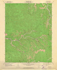
 1910 Bald Knob1910 Print · USGSSouthern West Virginia in the early twentieth century was a landscape of remote mountain gaps and emerging rail corridors. Genealogists and historians can trace early settlements like Jarrolds Valley and Van, or locate historic crossing points like Walnut Gap and Indian Gap.2 unique versions available
 - 1912 Map of Bald Knob
 1912 Bald Knob1912 Print · USGSBoone County and the surrounding coalfields are captured in the early twentieth century as rail lines began to penetrate the deep Appalachian hollows. Genealogists and historians can trace early settlements at Whitesville, Jarrolds Valley, and Gordon alongside the growing C. and O. R. R. line.3 unique versions available
 - 1928 Map of Bald Knob, 1956 Print
 1928 Bald Knob1956 Print · USGSBoone, Logan, and Raleigh counties are mapped here in the late twenties at the height of the coal-rail boom. You can trace early industrial rail lines like the Chesapeake and Ohio and locate vanished local landmarks like Bothwell Sch and Jackson (Bim PO).
 - 1931 Map of Bald Knob
 1931 Bald Knob1931 Print · USGSBoone and Logan counties are shown in the late twenties, an era when the coal and timber industries were driving the expansion of the Chesapeake and Ohio RR. Genealogists can trace family footprints at Bothwell Sch, Jackson (Blair PO), and Jerrolds Valley.2 unique versions available
 - 1955 Map of Bluefield
 1955 Bluefield1955 Print · USGSThe Central Appalachian borderlands come alive in the mid-fifties, showing the coal and rail networks connecting Bluefield to Beckley. Researchers can trace the industrial landscape of the New River Ordnance Plant and the terrain of Burkes Garden.
 - 1957 Map of Bluefield, 1967 Print
 1957 Bluefield1967 Print · USGSThe heart of Central Appalachia in the mid-fifties is defined by the winding rail lines and river valleys of the coalfields. Researchers can trace the industrial footprints of towns like Welch and Princeton or locate landmarks such as the Bluestone Reservoir and Claytor Lake.2 unique versions available
 - 1961 Map of Bluefield
 1961 Bluefield1961 Print · USGSThe coalfields and mountain ridges of southern West Virginia and southwest Virginia are captured in the early sixties. Genealogists can trace family ties through rail-linked towns like Princeton and Richlands or along the shores of Bluestone Reservoir.
 - 1968 Map of Lorado, 1971 Print
 1968 Lorado1971 Print · USGSCoal towns and industrial rail lines dominate the West Virginia mountains in the late sixties. Genealogists and historians can trace families and operations in Lorado, Lundale, and Pardee along the winding Buffalo Creek.3 unique versions available
 - 1982 Map of Beckley, 1984 Print
 1982 Beckley1984 Print · USGSSouthern West Virginia coal country is captured here in the early eighties as industrial heritage met new wilderness protections. Genealogists and historians can trace the rail-linked communities of Beckley, Oak Hill, and the coal camps near Macdonald.
 - 1996 Map of Lorado, 2003 Print
 1996 Lorado2003 Print · USGSThe West Virginia coalfields are captured in detail during the late nineties, showing the industrial density of the Logan and Wyoming county borders. Genealogists and historians can trace the mining settlements of Lorado, Craneco, and Pardee along the banks of Buffalo Creek.
 - 2011 Map of Lorado, 2011 Print
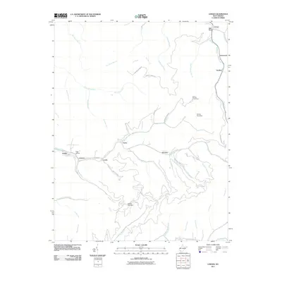 2011 Lorado2011 Print · USGSCovers Lundale, including Amherstdale-Robinette, Bald Knob, and other nearby areas
 - 2014 Map of Lorado, 2014 Print
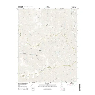 2014 Lorado2014 Print · USGSCovers Lundale, including Amherstdale-Robinette, Bald Knob, and other nearby areas
 - 2016 Map of Lorado, 2016 Print
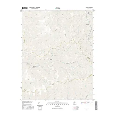 2016 Lorado2016 Print · USGSCovers Lundale, including Amherstdale-Robinette, Bald Knob, and other nearby areas
 - 2019 Map of Lorado, 2019 Print
 2019 Lorado2019 Print · USGSCovers Lundale, including Amherstdale-Robinette, Bald Knob, and other nearby areas
 - 2023 Map of Lorado, 2023 Print
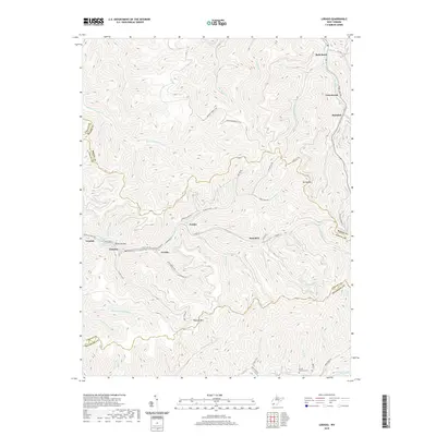
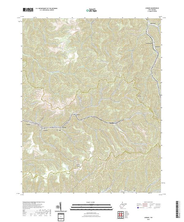 2023 Lorado2023 Print · USGSThe coal valleys of Boone and Logan counties are mapped here in the early 2020s, showing the enduring settlement patterns along Buffalo Creek. Local history researchers can trace family landmarks like Daniels Cem and settlements such as Lorado and Pardee.
End of results
Showing maps 1-18 of 18
Top cities near Lundale
- Mallory historical maps
- Logan historical maps
- Oceana historical maps
- Man historical maps
- Pineville historical maps
- Accoville historical maps
See more
Frequently asked questions
- What are the different types of historical maps available for Lundale?
- What is the oldest map of Lundale?
- Where can I purchase historical maps of Lundale for my home or office?
- Where can I download high-res historical maps of Lundale?
- Are there historical topographic maps available for Lundale?
- Is there historical aerial imagery available for Lundale?
- Where are historical maps of Lundale sourced from?