Old Maps of Bradshaw, West Virginia
Explore 19 old maps of Bradshaw, spanning from 1891 to today. These high-resolution historic maps reveal how streets, neighborhoods, landmarks, and natural features evolved over time — perfect for genealogy, metal detecting, research, and local history exploration.
What you can do with these maps:
- See how Bradshaw changed over time: Compare historical maps to modern-day views to trace roads, homesites, rail lines & more.
- View detailed metadata: Each map includes creators, publishers, year, scale, and archive source.
- Overlay maps with satellite & LiDAR: Visualize the past alongside modern tools to explore terrain & human change.
- Trusted historical sources: Maps sourced from the USGS, Library of Congress, and other archives.
- Access maps your way: View online, download high-res files, or order prints for personal or research use.
Start exploring old maps of Bradshaw to uncover forgotten places, hidden landmarks, and the deep history beneath your feet.
Bradshaw, WV maps
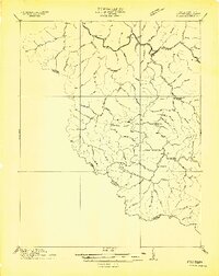
(19)- 1891 Map of Tazewell
 1891 Tazewell1891 Print · USGSThe Clinch Valley highlands are shown here in the late nineteenth century, capturing the early settlement of the Virginia and West Virginia borderlands. Local historians can trace the foundations of Jeffersonville and rural outposts like Baptist Valley and Cedar Bluff.
 - 1895 Map of Tazewell
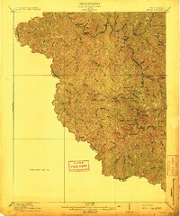
 1895 Tazewell1895 Print · USGSSouthwest Virginia and the West Virginia coalfields are captured in the 1890s as the rail network transformed these mountain valleys. Researchers can trace early settlements and stores along the Norfolk and Western RR, from Tazewell to the mines near Welch and Vivian.
 - 1897 Map of Tazewell
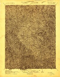
 1897 Tazewell1897 Print · USGSThe rugged coal and timber lands of the border country appear here in the 1890s as the rail network expands. Genealogists can trace family roots at Mc Neil Store, follow the early growth of Welch, and locate homesteads near Shack Mills.8 unique versions available
 - 1910 Map of Iaeger
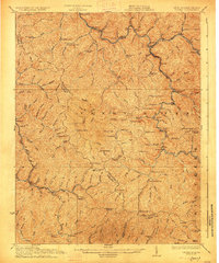
 1910 Iaeger1910 Print · USGSMcDowell County's steep coal country is documented here in the early twentieth century as the railroad transformed the mountain landscape. Genealogists can trace family names and early homesteads near Iaeger, Avondale PO, and Paynesville along the Norfolk and Western RR.
 - 1912 Map of Iaeger
 1912 Iaeger1912 Print · USGSMcDowell County's rugged Tug Fork valley is documented here in the early twentieth century, showing a landscape defined by rail and remote hollows. Genealogists and historians can trace the foundations of Iaeger, find the locations of Avondale PO and Bradshaw PO, and follow the Norfolk and Western tracks.
 - 1914 Map of Iaeger
 1914 Iaeger1914 Print · USGSCovers Bradshaw, including Raysal, Iaeger, and other nearby areas
 - 1916 Map of Iaeger
 1916 Iaeger1916 Print · USGSThe borderlands of West Virginia and Virginia are captured here in the early twentieth century, showing the coal-and-rail landscape of the Tug Fork. Genealogists and local historians can trace small community hubs like Avondale PO, Stacy PO, and family-named landmarks like Joshua Day School.
 - 1927 Map of Iaeger
 1927 Iaeger1927 Print · USGSMcDowell County at the peak of the mountain rail era reveals a landscape shaped by coal and community. Genealogists can trace family roots through numerous remote schools and post offices like Avondale PO Ritter, Matney Stacy PO, and Bee Run Church.3 unique versions available
 - 1955 Map of Bluefield
 1955 Bluefield1955 Print · USGSThe Central Appalachian borderlands come alive in the mid-fifties, showing the coal and rail networks connecting Bluefield to Beckley. Researchers can trace the industrial landscape of the New River Ordnance Plant and the terrain of Burkes Garden.
 - 1957 Map of Bluefield, 1967 Print
 1957 Bluefield1967 Print · USGSThe heart of Central Appalachia in the mid-fifties is defined by the winding rail lines and river valleys of the coalfields. Researchers can trace the industrial footprints of towns like Welch and Princeton or locate landmarks such as the Bluestone Reservoir and Claytor Lake.2 unique versions available
 - 1961 Map of Bluefield
 1961 Bluefield1961 Print · USGSThe coalfields and mountain ridges of southern West Virginia and southwest Virginia are captured in the early sixties. Genealogists can trace family ties through rail-linked towns like Princeton and Richlands or along the shores of Bluestone Reservoir.
 - 1964 Map of Bradshaw, 1965 Print
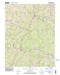
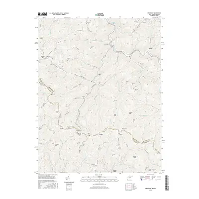
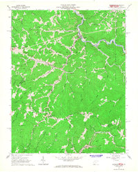 1964 Bradshaw1965 Print · USGSMid-century coal country comes alive in this survey of the mountains along the West Virginia and Virginia border. Genealogists can trace family names at Bradshaw Cemetery and Wimmer Cemetery, or locate old school sites like Jolo School.3 unique versions available
 - 1981 Map of Bluefield
 1981 Bluefield1981 Print · USGSThe coalfields and mountain ridges of the Virginia-West Virginia border are captured here during the early eighties. Genealogists and historians can trace the rail lines of the Norfolk and Western RR connecting Coalwood, Welch, and the unique geological basin of Burkes Garden.2 unique versions available
 - 1996 Map of Bradshaw, 2003 Print
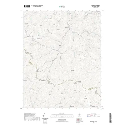
 1996 Bradshaw2003 Print · USGSMcDowell County's coal country comes into focus in the mid-1990s as it straddles the West Virginia and Virginia border. Genealogists can trace deep local roots through family-named sites like Stacy Cem, Wimmer Gap, and the settlements of Atwell and Jolo.
 - 2011 Map of Bradshaw, 2011 Print
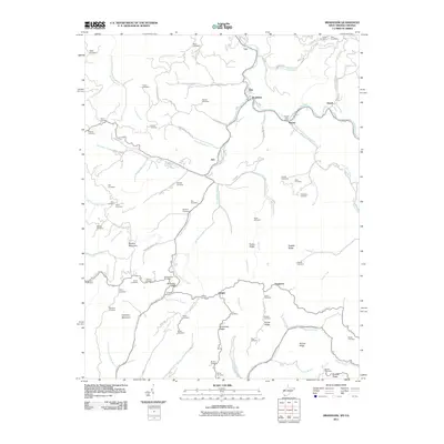 2011 Bradshaw2011 Print · USGSCovers Bradshaw, including Raysal, Atwell, and other nearby areas
 - 2014 Map of Bradshaw, 2014 Print
 2014 Bradshaw2014 Print · USGSCovers Bradshaw, including Raysal, Atwell, and other nearby areas
 - 2016 Map of Bradshaw, 2016 Print
 2016 Bradshaw2016 Print · USGSCovers Bradshaw, including Raysal, Atwell, and other nearby areas
 - 2019 Map of Bradshaw, 2019 Print
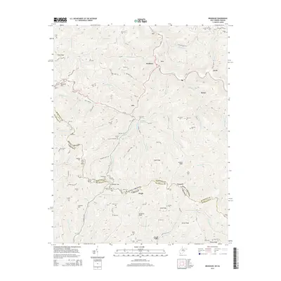
 2019 Bradshaw2019 Print · USGSCovers Bradshaw, including Raysal, Atwell, and other nearby areas
 - 2023 Map of Bradshaw, 2023 Print
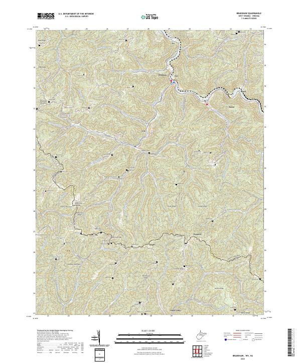 2023 Bradshaw2023 Print · USGSCrossing the West Virginia and Virginia border along State Line Ridge, this contemporary survey documents the enduring settlement patterns of the central Appalachians. Researchers can locate dozens of remote family burial sites like Compton Mountain Cem, Mitchell Cem, and Wimmer Cem.
End of results
Showing maps 1-19 of 19
Top cities near Bradshaw
- Welch historical maps
- War historical maps
- Raysal historical maps
- Davy historical maps
- Iaeger historical maps
- Big Sandy historical maps
See more
Top neighborhoods of Bradshaw
Frequently asked questions
- What are the different types of historical maps available for Bradshaw?
- What is the oldest map of Bradshaw?
- Where can I purchase historical maps of Bradshaw for my home or office?
- Where can I download high-res historical maps of Bradshaw?
- Are there historical topographic maps available for Bradshaw?
- Is there historical aerial imagery available for Bradshaw?
- Where are historical maps of Bradshaw sourced from?