Old Maps of Leevale, West Virginia for Academic Research
Study the evolution of Leevale with 18 high-resolution historic maps. Whether you're teaching, researching, or modeling changes in land use, these maps provide essential visual documentation of urban, environmental, and geographic change.
- Analyze long-term change: Track patterns in development, transportation, and natural features.
- Ideal for environmental or urban studies: Support academic projects with primary historical map data.
- Use in the classroom or lab: Educators and researchers rely on these maps to bring historical context to life.
These maps are a powerful tool for teaching, research, and visualizing how Leevale has changed over the decades.
Leevale, WV maps
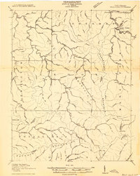
(18)- 1891 Map of Oceana
 1891 Oceana1891 Print · USGSSouthern West Virginia in the late nineteenth century was a world of deep valleys and isolated mountain settlements. Genealogists and historians can trace early family sites along the Guyandotte River near Oceana, Logan C.H., and Whites Mills.
 - 1893 Map of Oceana
 1893 Oceana1893 Print · USGSSouthern West Virginia’s rugged coal country is captured here in the late nineteenth century, showing a landscape of deep hollows and high ridges. Researchers can trace ancestral homes and early industry at Logan C.H., Whites Mills, and Jarrold's Valley.
 - 1898 Map of Oceana
 1898 Oceana1898 Print · USGSSouthern West Virginia in the late nineteenth century remains a landscape of isolated mountain settlements and complex river drainages. Genealogists can trace early homesteads and family-named landmarks near Oceana, Pineville, and Baileysville before the rise of the modern coal industry.4 unique versions available
 - 1910 Map of Bald Knob
 1910 Bald Knob1910 Print · USGSSouthern West Virginia in the early twentieth century was a landscape of remote mountain gaps and emerging rail corridors. Genealogists and historians can trace early settlements like Jarrolds Valley and Van, or locate historic crossing points like Walnut Gap and Indian Gap.2 unique versions available
 - 1912 Map of Bald Knob
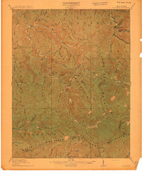 1912 Bald Knob1912 Print · USGSBoone County and the surrounding coalfields are captured in the early twentieth century as rail lines began to penetrate the deep Appalachian hollows. Genealogists and historians can trace early settlements at Whitesville, Jarrolds Valley, and Gordon alongside the growing C. and O. R. R. line.3 unique versions available
 - 1928 Map of Bald Knob, 1956 Print
 1928 Bald Knob1956 Print · USGSBoone, Logan, and Raleigh counties are mapped here in the late twenties at the height of the coal-rail boom. You can trace early industrial rail lines like the Chesapeake and Ohio and locate vanished local landmarks like Bothwell Sch and Jackson (Bim PO).
 - 1931 Map of Bald Knob
 1931 Bald Knob1931 Print · USGSBoone and Logan counties are shown in the late twenties, an era when the coal and timber industries were driving the expansion of the Chesapeake and Ohio RR. Genealogists can trace family footprints at Bothwell Sch, Jackson (Blair PO), and Jerrolds Valley.2 unique versions available
 - 1955 Map of Bluefield
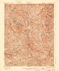
 1955 Bluefield1955 Print · USGSThe Central Appalachian borderlands come alive in the mid-fifties, showing the coal and rail networks connecting Bluefield to Beckley. Researchers can trace the industrial landscape of the New River Ordnance Plant and the terrain of Burkes Garden.
 - 1957 Map of Bluefield, 1967 Print
 1957 Bluefield1967 Print · USGSThe heart of Central Appalachia in the mid-fifties is defined by the winding rail lines and river valleys of the coalfields. Researchers can trace the industrial footprints of towns like Welch and Princeton or locate landmarks such as the Bluestone Reservoir and Claytor Lake.2 unique versions available
 - 1961 Map of Bluefield
 1961 Bluefield1961 Print · USGSThe coalfields and mountain ridges of southern West Virginia and southwest Virginia are captured in the early sixties. Genealogists can trace family ties through rail-linked towns like Princeton and Richlands or along the shores of Bluestone Reservoir.
 - 1968 Map of Whitesville, 1971 Print
 1968 Whitesville1971 Print · USGSIn the late sixties, the Coal River valley was a dense network of mining hamlets and rail lines. You can trace the family legacies of Boone and Raleigh counties through landmarks like Jarrolds Cem, Lindytown, and the Marsh Fork High Sch.3 unique versions available
 - 1982 Map of Beckley, 1984 Print
 1982 Beckley1984 Print · USGSSouthern West Virginia coal country is captured here in the early eighties as industrial heritage met new wilderness protections. Genealogists and historians can trace the rail-linked communities of Beckley, Oak Hill, and the coal camps near Macdonald.
 - 1996 Map of Whitesville, 2002 Print
 1996 Whitesville2002 Print · USGSThe West Virginia coalfields near the Boone and Raleigh county line are shown here in the late nineties as a dense network of valley settlements. Researchers can locate family landmarks like Jarrells Cem and trace the rail-and-river geography of Whitesville, Lindytown, and Montcoal.
 - 2011 Map of Whitesville, 2011 Print
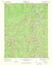
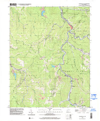
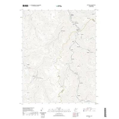
 2011 Whitesville2011 Print · USGSCovers Leevale, including Whitesville, Pettus, and other nearby areas
 - 2014 Map of Whitesville, 2014 Print
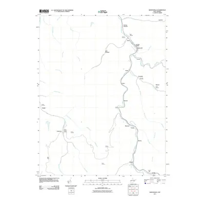
 2014 Whitesville2014 Print · USGSCovers Leevale, including Whitesville, Pettus, and other nearby areas
 - 2016 Map of Whitesville, 2016 Print
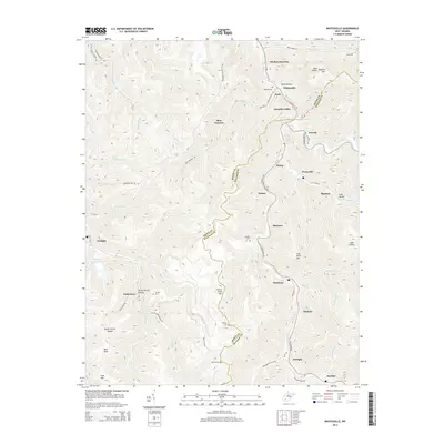
 2016 Whitesville2016 Print · USGSCovers Leevale, including Whitesville, Pettus, and other nearby areas
 - 2019 Map of Whitesville, 2019 Print
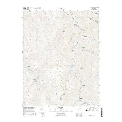
 2019 Whitesville2019 Print · USGSCovers Leevale, including Whitesville, Pettus, and other nearby areas
 - 2023 Map of Whitesville, 2023 Print
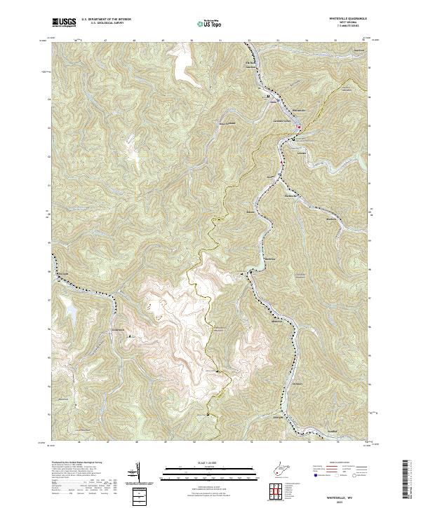 2023 Whitesville2023 Print · USGSThe coalfields of Boone and Raleigh counties are captured here in the early 2020s, showing the deep valley communities along the Marsh Fork. Local researchers can locate family sites like Bailey Cem or the Jarrolds Valley Presbyterian Church Cem near Whitesville.
End of results
Showing maps 1-18 of 18
Top cities near Leevale
- Montgomery historical maps
- Kopperston historical maps
- Whitesville historical maps
- Powellton historical maps
- Sylvester historical maps
- Handley historical maps
See more
Frequently asked questions
- What are the different types of historical maps available for Leevale?
- What is the oldest map of Leevale?
- Where can I purchase historical maps of Leevale for my home or office?
- Where can I download high-res historical maps of Leevale?
- Are there historical topographic maps available for Leevale?
- Is there historical aerial imagery available for Leevale?
- Where are historical maps of Leevale sourced from?