Old Maps of Sistersville, West Virginia for Hiking & Exploration
Hike through history with 30 historic maps of Sistersville. Explore old trails, ghost towns, and forgotten backroads — perfect for outdoor adventurers and local explorers.
- Rediscover forgotten places: Map out old mining camps, roads, and footpaths that no longer exist on modern maps.
- Layer with modern tools: Combine with LiDAR or satellite views to plan hikes through historical terrain.
- Made for exploration: Popular among hikers, overlanders, and local history lovers.
Use these maps to find adventure and explore the hidden past of Sistersville.
Sistersville, WV maps
(30)- 1905 Map of New Matamoras, 1916 Print
 1905 New Matamoras1916 Print · USGSMonroe and Washington counties come alive in the decade after the century's turn, showing a world of river commerce and ridge-top farming. Genealogists can trace family footprints across old postal stops like Langs P.O. and Centerview P.O. or the milling sites at Rinard Mills.
 - 1906 Map of New Martinsville
 1906 New Martinsville1906 Print · USGSThe Ohio River valley at the turn of the century shows a landscape of busy rail lines and riverside towns. You can trace the Baltimore and Ohio railroad through Sistersville or locate early industrial sites like Winders Mill and Porters Falls.2 unique versions available
 - 1924 Map of New Martinsville, 1956 Print
 1924 New Martinsville1956 Print · USGSThe Ohio River valley in the early twenties reveals a landscape of busy rail corridors and riverfront towns. Genealogists can locate family names and rural landmarks from Winders Mill to dozens of country schoolhouses like Democracy School and Wayne School.2 unique versions available
 - 1924 Map of New Matamoras, 1958 Print
 1924 New Matamoras1958 Print · USGSThe Ohio River borderlands are shown in detail during the mid-1920s, featuring the winding valleys of the Muskingum rivers. Genealogists can trace family locations through named schools and rural post offices like Rinard Mills, Salem Hall, and Zion Church.
 - 1926 Map of New Martinsville
 1926 New Martinsville1926 Print · USGSThe Ohio River valley in the mid-1920s reveals a bustling corridor of rail and river commerce connecting New Martinsville and Sistersville. Genealogists can trace hundreds of rural landmarks, from the County Infirmary to isolated hill schools like Rothlisberger School and Sugar Valley School.2 unique versions available
 - 1926 Map of New Matamoras
 1926 New Matamoras1926 Print · USGSThe Ohio River valley and the rugged interior of Monroe County appear here in the mid-1920s. Genealogists can trace early twentieth-century rural life through numerous small post offices and schools like Cochransville Centerview PO and Excelsior School.2 unique versions available
 - 1949 Map of Clarksburg
 1949 Clarksburg1949 Print · USGSThe upper Ohio River valley and the industrial heart of West Virginia come into focus during this post-war period. Genealogists and researchers can trace the rail corridors of the Baltimore and Ohio and locate centers like Fairmont, Grafton, and Waynesburg.
 - 1956 Map of Clarksburg, 1966 Print
 1956 Clarksburg1966 Print · USGSThe Ohio River valley and the industrial heart of West Virginia are seen here in the mid-1950s as rail and river commerce thrived. Researchers can trace historic transport lines like the Baltimore and Ohio RR and locate ancestral homes in Clarksburg, Moundsville, or Parkersburg.2 unique versions available
 - 1960 Map of Paden City, 1961 Print
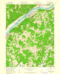 1960 Paden City1961 Print · USGSThe Ohio River valley thrives in the early sixties as a hub of industry and rail. Genealogists can trace family roots at Kidwell Ch, Stender Cem, and the riverfront communities of Paden City and Sistersville.4 unique versions available
 - 1960 Map of New Matamoras, 1962 Print
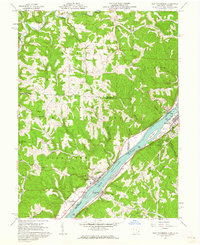 1960 New Matamoras1962 Print · USGSThe Ohio River valley was a thriving industrial and transport corridor in the early sixties, anchored by the riverfront centers of Sistersville and New Matamoras. Trace the old Baltimore and Ohio rail line, find ridge-top settlements like Jericho, or locate rural landmarks like Friendly Ch.4 unique versions available
 - 1961 Map of Clarksburg
 1961 Clarksburg1961 Print · USGSThe mid-century industrial and river landscapes of West Virginia and Ohio are detailed here, centered on the Ohio River. Researchers can trace the Baltimore and Ohio rail lines connecting towns like Parkersburg, Clarksburg, and Monongah.
 - 1975 Map of New Matamoras, 1979 Print
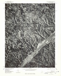 1975 New Matamoras1979 Print · USGSThe Ohio River valley in the mid-seventies is documented here through detailed aerial imagery, showing the relationship between steep river bluffs and rural settlements. Researchers can trace the riverfront layouts of New Matamoras and Grandview or locate the upland community of Brownsville.
 - 1976 Map of Paden City, 1979 Print
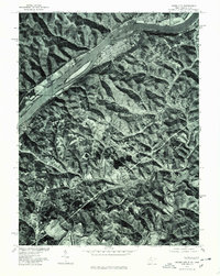 1976 Paden City1979 Print · USGSThe riverfront between West Virginia and Ohio is captured here during the mid-seventies, showing the density of Paden City along the banks. Genealogists and historians can trace property lines and river access near Sardis and Middle Island Creek.
 - 1980 Map of Senecaville, 1983 Print
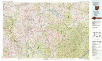 1980 Senecaville1983 Print · USGSEastern Ohio at the start of the eighties reveals a complex landscape of coal extraction and river commerce. Genealogists and historians can trace rail lines like the Conrail and Baltimore and Ohio RR connecting towns like Byesville and Woodsfield.2 unique versions available
 - 1984 Map of Moundsville
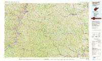 1984 Moundsville1984 Print · USGSThe Ohio River valley and the Appalachian interior meet in the mid-eighties as a hub of rail and river commerce. Genealogists and historians can trace the development of river towns like New Martinsville, inland hubs like Waynesburg, and the path of the B & O RR.
 - 1988 Map of Clarksburg, 1989 Print
 1988 Clarksburg1989 Print · USGSThe central Appalachians are documented in detail during the late eighties, showing the industrial and river-based economies of West Virginia, Ohio, and Pennsylvania. Researchers can trace historic rail routes like the B & O RR and locate river towns from St Marys to Parkersburg.
 - 1994 Map of Paden City, 1998 Print
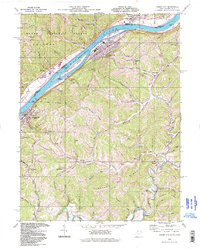 1994 Paden City1998 Print · USGSThe Ohio River valley and its industrial rail corridor are captured here during the 1990s as the region balanced manufacturing and conservation. Researchers can trace family history through sites like Locust Grove Cem, Paden Fork Chapel, and the riverside town of Sistersville.
 - 1994 Map of New Matamoras, 1998 Print
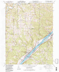 1994 New Matamoras1998 Print · USGSThe Ohio River corridor near New Matamoras and Sistersville is captured here in the 1990s, showing a river valley shaped by navigation and industry. Researchers can find old family landmarks and rural sites like Salem Hall, Yellow House, and Grandview Cem.
 - 2002 Map of New Matamoras, 2006 Print
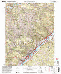 2002 New Matamoras2006 Print · USGSThe Ohio River valley at the turn of the new millennium shows a landscape defined by riverside settlements and deep forest ridges. Genealogists and hikers can locate sites like Salem Hall, Zion Ch, and the high ridges of the Wayne National Forest.
 - 2002 Map of Paden City, 2006 Print
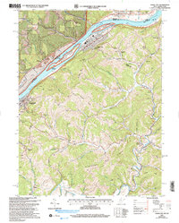 2002 Paden City2006 Print · USGSThe Ohio River valley and its surrounding ridges come into focus here at the start of the 2000s, showing the intersection of river-bound industry and deep-hollow settlements. Genealogists can trace family sites at Van Camp Cem, Locust Grove Ch, and the riverside town of Sistersville.
 - 2011 Map of New Matamoras, 2011 Print
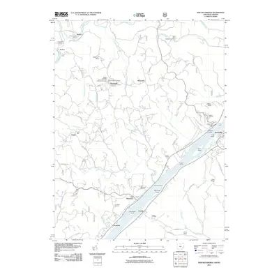 2011 New Matamoras2011 Print · USGSThe Ohio River valley near Grandview and New Matamoras remains a landscape of river-dependent settlements and high ridge farms in the early twenty-first century. Researchers can locate the Fly Ferry, the Fly Post Office, and numerous burial grounds like Salem Hall Cemetery.
 - 2011 Map of Paden City, 2011 Print
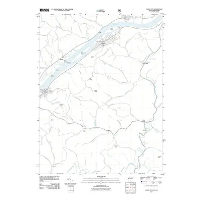 2011 Paden City2011 Print · USGSThe Ohio River valley in the early twenty-first century reveals a landscape of industrial river towns and deep-hollow settlements. Genealogists and local historians can trace family roots through numerous sites like Oakwood Cemetery, the Jackson Township Hall, and the riverfront at Sistersville.
 - 2013 Map of New Matamoras, 2013 Print
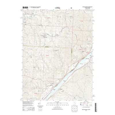 2013 New Matamoras2013 Print · USGSThe Ohio River valley at the turn of the 21st century reveals a landscape of ridge-top settlements and riverside industrial towns. Genealogists can trace family names at Jericho Methodist Cem, the German Lutheran Cem, or the Springer Grave near New Matamoras.
 - 2014 Map of Paden City, 2014 Print
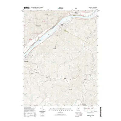 2014 Paden City2014 Print · USGSThe riverfront communities of Sistersville and Paden City are captured here during the early twenty-first century along the banks of the Ohio River. Local historians can trace family locations through numerous sites like Oakwood Cem, Van Camp Cem, and the rural community at Pursley.
 - 2016 Map of Paden City, 2016 Print
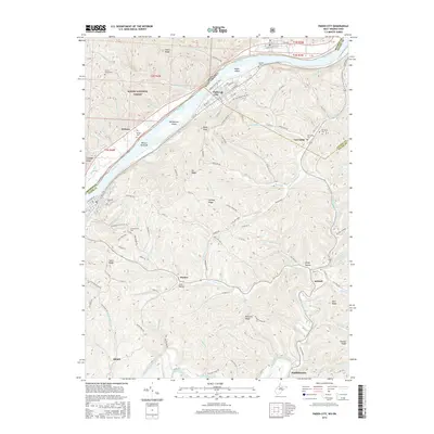 2016 Paden City2016 Print · USGSThe Ohio River valley and the high ridges of Tyler County are shown in detail during the mid-2010s. Local researchers can trace the roads and hollows connecting Paden City and Middlebourne through old sites like Greenwood Cem and Van Camp.
Showing maps 1-25 of 30
Top cities near Sistersville
- New Martinsville historical maps
- Woodsfield historical maps
- Grandview historical maps
- New Matamoras historical maps
- Middlebourne historical maps
- Clarington historical maps
See more
Top neighborhoods of Sistersville
Frequently asked questions
- What are the different types of historical maps available for Sistersville?
- What is the oldest map of Sistersville?
- Where can I purchase historical maps of Sistersville for my home or office?
- Where can I download high-res historical maps of Sistersville?
- Are there historical topographic maps available for Sistersville?
- Is there historical aerial imagery available for Sistersville?
- Where are historical maps of Sistersville sourced from?